
Steel & Infrastructure
A dockside or industrial set needs a verified component weight, controlled ground area, rigging plan, and an available receiving point.
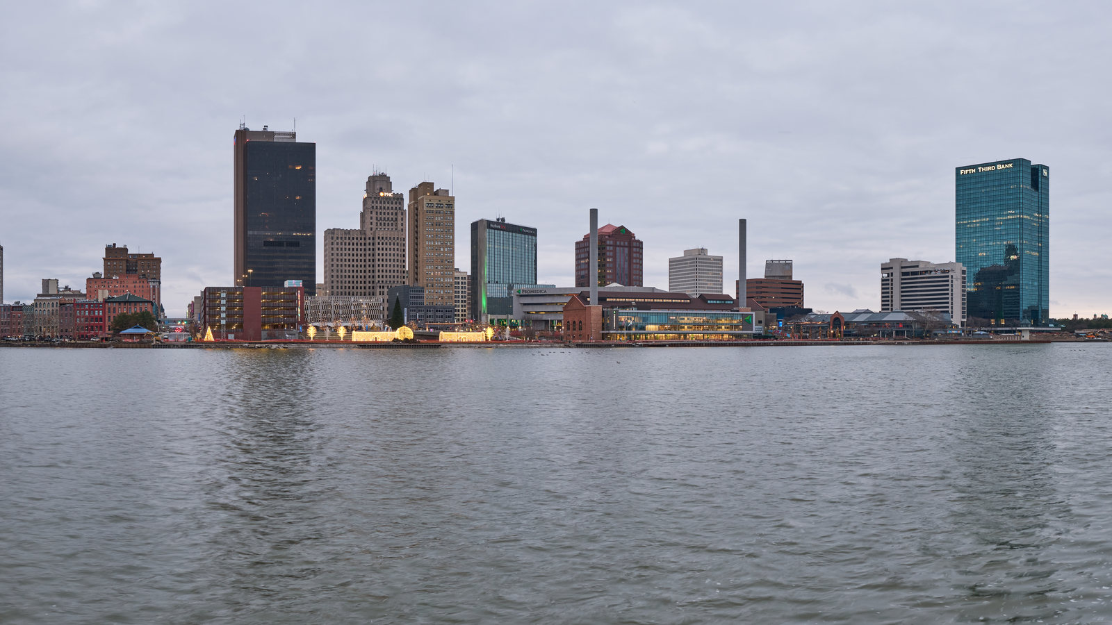
Local lift planning
A waterfront pickup is a ground-control problem before it is an aircraft problem. Toledo’s docks, rail access, and utility corridors put that distinction in focus.
Photo: Chris Rycroft / Wikimedia Commons / CC BY 2.0. Cropped and resized. License terms.
The Census Bureau’s July 2025 incorporated-place ranking estimates 263,423 residents in Toledo city. That city-proper count qualifies Toledo for this guide. It is distinct from the metropolitan total used to select Ohio’s original five guides and says nothing about lift demand. The Ohio location index covers the state; the Cleveland guide addresses a different Lake Erie work setting.
The FAA East Central Chart Supplement lists Toledo Executive Airport southeast of the city, with runways 14/32 and 04/22. It is a nearby aviation reference, not a staging site or permission for an external load. Exact coordinates and current airspace information are needed for a proposed route. The external-load operations guide outlines that separate review.
The Port of Toledo lists 13 terminals. Its General Cargo Dock has on-dock Class I rail and a 4,100-foot dock. Rail movements, cargo handling, property access, and a receiving area all matter when studying a lift near an active terminal. A port listing does not grant access to any terminal.
The National Weather Service Toledo normals show 37.4 inches of annual snowfall, including 12.3 inches in January and 10.2 in February. Those averages help size a winter access plan. A work window still depends on current wind, visibility, temperature, precipitation, and surface conditions at the site.
The city’s road construction guidance describes lane restrictions, detours, intersection closures, and temporary driveway impacts during street work. A truck route and a clear pickup position cannot be assumed from a map alone. Put traffic control, pedestrian space, and the set point on the site survey checklist.
Toledo’s raw water main project plans a new 72-inch main from Lake Erie to the Collins Park Water Treatment Plant along an existing corridor. The city is assessing temporary access and easements. A proposed staging footprint near that corridor would need the utility owner’s limits and verified subsurface information. The project is not described as helicopter work.
A dockside or industrial set needs a verified component weight, controlled ground area, rigging plan, and an available receiving point.

A rooftop unit study starts with certified weight, roof capacity, protected access below, and the exact position of the set.

The airport reference, port operations, and city street controls require separate aviation, property, and ground reviews.

A proposed route near Toledo Executive needs exact coordinates, current charts, obstacles, and a site-specific controlled area.

Water, road, and rail corridors must be mapped before any aerial work method is compared with ground access.
The Port of Toledo’s General Cargo Dock ties a long waterfront face to rail and a heavy-haul route into Michigan. At a comparable cargo site, ground traffic and the live terminal footprint may decide whether an aerial set can be studied at all. Confirm certified load weight and receiving geometry before comparing steel and infrastructure placement.
The city’s raw water main and street projects show two different kinds of constrained corridor. Pipe, pumps, or equipment near a road or treatment asset would need clear utility information and controlled access. The load verification sheet addresses the load data; it does not replace the corridor review.