
Transmission Line Stringing
City-provided electric service makes utility ownership, energized-line controls, and ground access central parts of a transmission-line planning record.
Local lift planning
A runway-centerline obstacle, the I-40 freight corridor, and city-run utilities make route and authority mapping the first task.
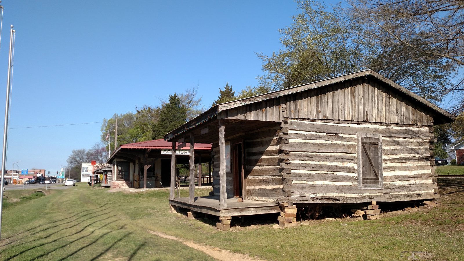
Photo: National Trails Office, US National Park Service, public domain via Wikimedia Commons. Resized and compressed. License terms.
The Census Bureau’s Vintage 2025 metropolitan components data estimate the Fort Smith, AR-OK MSA at 234,140 residents and identify Sequoyah County as its Oklahoma component. The Oklahoma place estimates place Sallisaw first among the county’s active incorporated places at 8,790 residents. Sallisaw is the Oklahoma editorial anchor, not an MSA principal city, and the whole-metro count does not measure local demand.
The current FAA entry for Sallisaw Municipal Airport places JSV one mile southwest of the city and lists a 4,006-by-75-foot asphalt runway, AWOS-3 weather reporting, and a 200-foot tower or antenna 2.2 miles north on the extended centerline. Any proposed load path or staging concept near the field needs current aeronautical review. The flight-path checklist keeps the actual coordinates in view.
An Oklahoma Department of Transportation bridge narrative identifies the I-40 and SH-100 Arkansas River crossings between Muskogee and Sequoyah counties and notes that they cross the McClellan-Kerr Arkansas River Navigation System. It describes I-40 as a major east-west freight corridor. Load-delivery routes and alternate access should be confirmed before a flight window is treated as workable.
The National Weather Service Sallisaw climatology reports an average 51.4 days per year above 90 degrees and 65.8 days below 32 degrees. Seasonal temperature effects belong in aircraft-performance review and crew planning. These historical normals are not a forecast.
The same NWS record reports 48.19 inches of average annual rainfall, with May averaging 5.96 inches. Staging surfaces, drainage, and weather holds need field verification close to the proposed work date.
The FAA entry’s extended-centerline obstacle note is a specific warning against assuming that an apparently short local route is clear. Current NOTAMs, temporary restrictions, and site-specific obstacle data remain necessary.
City-provided electric service makes utility ownership, energized-line controls, and ground access central parts of a transmission-line planning record.

The FAA publishes an obstacle north of Sallisaw Municipal’s extended centerline. Tower profiles near the field need current airport and obstacle information.

Regional Arkansas River bridge work shows why placement geometry must remain separate from bridge access and freight routing.

JSV runway and weather-reporting details are useful local references, but they do not establish aircraft fit or external-load authority.
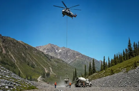
Regional agriculture, forestry, and mining activity can involve remote access. Haul routes, loose material, verified weights, and staging surfaces remain site-specific.
ODOT reports in its Webbers Falls bridge narrative that the combined share of working-age residents employed in agriculture, forestry, fishing and hunting, and mining in Muskogee and Sequoyah counties is 69 percent greater than the national share. That is regional context for infrastructure and remote-access planning. It is not evidence of a Sallisaw project.
The City of Sallisaw provides electric, water, sewer, sanitation, landfill, and telecommunications services. Its municipal, economic, and industrial finance authorities also support public facilities or development financing. Utility ownership and municipal infrastructure are legitimate local planning topics, but the exact site determines which authority controls the ground.