
HVAC & Rooftop Units
Institutional and logistics roofs can be surrounded by active streets or loading areas. Verify unit weight, roof capacity, set-point geometry, and emergency access.
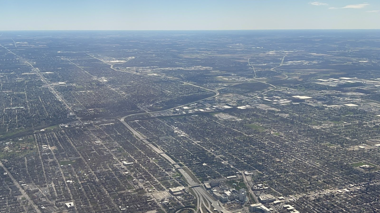
Local lift planning
Two long runways, dense public right-of-way, and a major logistics district put airspace and ground control on the same planning path.
Photo: MemeGod27, CC0 1.0 via Wikimedia Commons. Cropped, resized, and compressed. License terms.
The Census Bureau’s Vintage 2025 estimates place the Columbus, OH metropolitan statistical area at 2,242,028 residents. It ranks second among whole metropolitan areas containing Ohio territory. That count selects the guide. It is not Columbus city population or evidence of lifting demand.
John Glenn Columbus International Airport lies six miles east of Columbus. The current FAA East Central Chart Supplement lists two paved runways measuring 10,114 by 150 feet and 8,000 by 150 feet, continuous attendance, and Class C service. Those facts support an early airspace screen. They do not approve a route, staging position, or external-load operation. The external-load operations guide explains the broader review.
Columbus requires permission to occupy or work within city public right-of-way. Its construction-related occupancy permit covers temporary fencing, equipment or material unloading, crane positions, dumpsters, and similar uses without excavation. Map the pickup position, support vehicles, pedestrian controls, and receiving zone through the site survey checklist.
The National Weather Service Columbus climate normals give a January normal high of 37.19 degrees, a normal low of 21.97 degrees, and 9.5 inches of snow. July has a normal high of 85.48 degrees and 4.67 inches of precipitation. These 1991-2020 baselines support seasonal access and aircraft-performance planning. Current wind, visibility, temperature, and surface conditions still control the work window.
A Columbus right-of-way occupancy permit addresses city-controlled ground. The permit page separately identifies special hauling permits for vehicles or equipment exceeding legal length, height, or weight limits on city roads and bridges. Confirm which public-space controls apply before fixing an equipment route. The permit-jurisdiction guide keeps those approvals separate from aviation review.
The FAA entry identifies birds near CMH and model-aircraft activity within one mile of a point eight nautical miles north of the airport, from the surface to 5,000 feet AGL during daylight. Those published cautions are screening inputs. Current charts, NOTAMs, temporary restrictions, obstacles, and exact site coordinates remain necessary.
Institutional and logistics roofs can be surrounded by active streets or loading areas. Verify unit weight, roof capacity, set-point geometry, and emergency access.

Industrial components require certified weights, attachment points, pickup geometry, and a controlled receiving sequence before methods are compared.

CMH Class C airspace, current NOTAMs, property permission, and public-space controls remain separate planning gates.

Airport traffic, published model-aircraft activity, wildlife cautions, and current obstacles make exact coordinates central to tower planning.

Utility corridors can cross city streets, private parcels, and other road jurisdictions. Authority and exclusion-area control must be traced across the full alignment.
The city’s 2026 Community Profile assigns 18 percent of the workforce to trade, transportation, and utilities. Education and health account for 15 percent, while manufacturing accounts for 6 percent. Those sectors establish credible settings for warehouse roofs, institutional mechanical equipment, and industrial components. They do not show that an aircraft is suitable for a particular load. Use the load verification sheet before comparing methods.
The Columbus Regional Airport Authority reports more than 75 million square feet of warehouse and distribution space in the Rickenbacker area and five air-freight terminals on airport property. Logistics campuses can present large roofs and active loading zones, but airport access, property permission, security boundaries, load data, and the receiving area must be checked for the actual site.