
External Load Operations
Class D airspace, airport restrictions, smoke, and control below the route need separate checks before an external-load concept is evaluated.
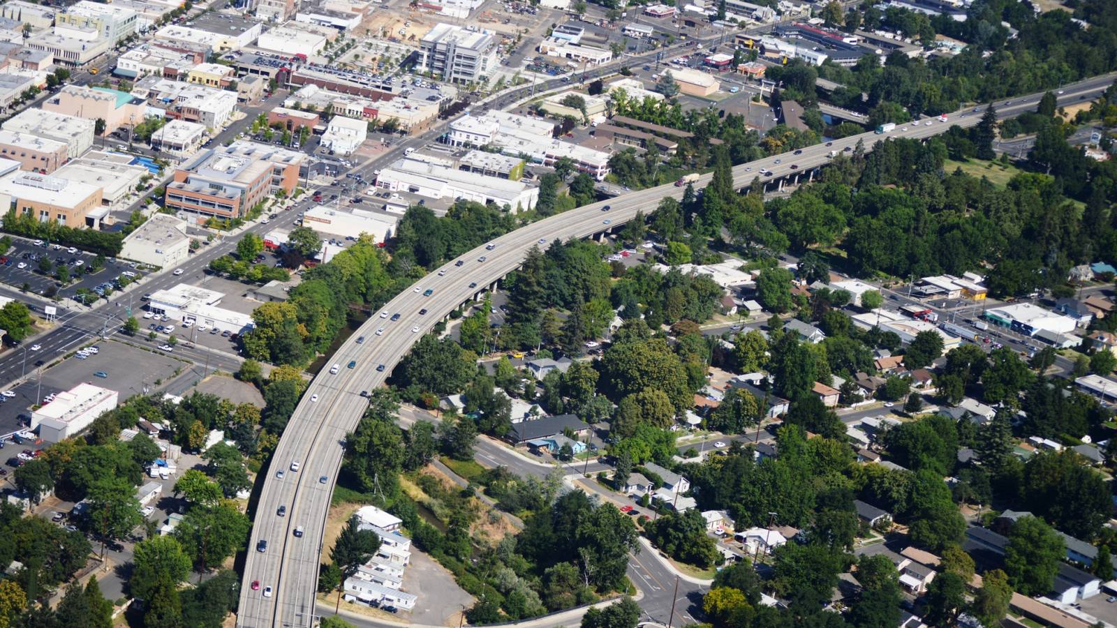
Local lift planning
An 8,800-foot airport runway, industrial land beside the field, and summer smoke exposure put aviation, visibility, and ground access on the same early screen.
Photo: Oregon Department of Transportation, CC BY 2.0 via Wikimedia Commons. Cropped, resized, and compressed. License terms.
The Census Bureau’s Vintage 2025 estimates place Medford fifth among Oregon metropolitan areas, at 221,795 residents on July 1, 2025. The whole-metro figure selects this guide. It is not Medford city population or evidence of lifting demand.
The current FAA Northwest Chart Supplement entry for Rogue Valley International-Medford lists Runway 14-32 at 8,800 by 150 feet. Class D service is published while the tower is open, with Class E at other times. The terminal apron is closed except to scheduled carriers and operations with prior permission, so the airport record does not establish staging access.
Medford’s Transportation System Plan identifies Interstate 5 and parallel railroads as strategic freight corridors. It also identifies Biddle Road as the intermodal connector between I-5 and the airport. A receiving area still needs its own truck route, property authority, and laydown geometry.
A National Weather Service Medford fire-season review identifies late July through early September as the period most likely to bring significantly diminished Rogue Valley air quality from wildfire smoke, with strong year-to-year variation. Historical timing supports contingencies, while current visibility and fire activity control the window.
Medford’s public right-of-way permit application requires at least 72 hours’ notice. The packet includes a site plan showing property lines and public utility easements, plus traffic control covering vehicles and pedestrians. Property consent does not replace municipal controls.
The FAA airport entry reports waterfowl near the airport from November through May and restricted terminal-apron access. Current charts, NOTAMs, exact coordinates, airport permission, and the proposed route must replace airport-based assumptions.
Class D airspace, airport restrictions, smoke, and control below the route need separate checks before an external-load concept is evaluated.

Airport-adjacent industrial parcels create a rooftop-equipment context. Certified unit weight, roof capacity, occupied areas, and receiving geometry control the comparison.

Industrial activity near the airport can involve structural components, but the master plan does not prove lift need or aircraft fit.

Airport traffic and Class D service make exact coordinates, obstacle review, current restrictions, and route geometry central to a tower study.

Work near Biddle Road, I-5, rail, or public streets needs a separate plan for corridor authority, traffic control, utility locations, and conductor handling.
The Jackson County airport master plan identifies 15 airport-owned non-aeronautical parcels, including 13 industrial parcels. Airport-adjacent property can create rooftop-equipment or structural-placement contexts, but the plan does not establish a current project or aircraft need.
The city transportation plan connects the airport district to I-5 through Biddle Road and identifies parallel railroads as strategic freight routes. Oversize delivery, laydown space, and the aircraft method remain separate comparisons. The load-weight guide covers the first check.