
HVAC & Rooftop Units
Public and commercial buildings can have little conventional setup room. Equipment data, roof engineering, street access, and floodplain status need confirmation.
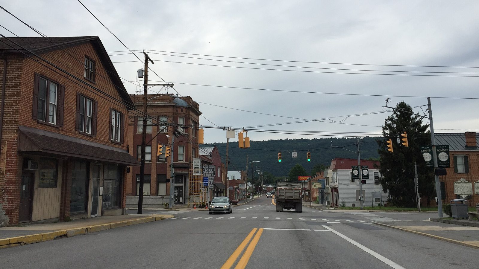
Local lift planning
Mountain terrain, two-lane approaches, and floodplain controls make exact site access more important than straight-line distance.
Photo: Famartin, CC BY-SA 4.0 via Wikimedia Commons. Cropped, resized, and compressed; derivative distributed under CC BY-SA 4.0. License terms.
The Census Bureau’s Vintage 2025 metro data record 152,332 residents in the Winchester metropolitan area and include Hampshire County, West Virginia. That whole-area estimate ranks fifth among metros containing West Virginia territory. Romney is the county seat and local anchor, not a Census principal city.
The current FAA entry for Greater Cumberland Regional Airport lists AWOS weather reporting and a 4,495-by-60-foot Runway 05-23. It also flags rapidly rising and high terrain plus cold-temperature procedures. The airport is regional context, not an assumed base.
Hampshire County’s official site identifies Romney as the county seat. County review matters outside city boundaries, so the site jurisdiction needs confirmation before a permit path is assumed.
National Weather Service Baltimore/Washington’s Romney forecast provides the current forecast for the valley. Wind, visibility, precipitation, and temperature need a site-day check, especially when ridge conditions may differ.
WVDOT’s Hampshire County milepoint map shows US 50 and WV 28 meeting in Romney. Load dimensions, bridge conditions, turning space, and the last mile need direct verification rather than a map-only assumption.
Hampshire County’s building-permit policy calls for floodplain approval where covered development applies and requires a site plan. Temporary ground disturbance and access work should be tested against that process.
Public and commercial buildings can have little conventional setup room. Equipment data, roof engineering, street access, and floodplain status need confirmation.

Mountain roads can constrain long or heavy structural pieces. Certified weights, bridge and turn checks, laydown space, and rigging geometry belong in one comparison.

Rising terrain and cold-temperature procedures are noted at the regional airport. Exact coordinates, current charts, obstacles, NOTAMs, and the proposed route need one review.

Rural utility corridors can cross steep or wooded ground. Utility authority, outage controls, road access, vegetation, and the aerial route remain separate checks.

Mountain weather or flooded low ground can isolate access. Current forecasts, road status, incident authority, and a controlled work area govern any response plan.
Romney is a rural county-seat market reached through mountain corridors. Utility equipment, communications work, and public-building mechanical units are reasonable planning examples, but the certified load and receiving site determine the method.
Road access can look simple until grades, turns, or floodplain limits are checked. The helicopter lift intake checklist keeps the last mile, site plan, terrain, and proposed aerial route together.