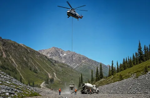
Mining Operation Support
Industrial and extraction sites require controlled operating areas, hazard review, and staging clear of active equipment routes.
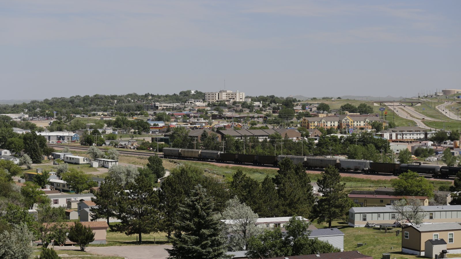
Local lift planning
Energy-support properties and utility corridors meet a long snow season, separate city permits, and state-road movement rules.
Photo: Mr. Satterly, CC0 1.0 via Wikimedia Commons. Cropped, resized, and compressed. License terms.
The 2020 Census urban-area list counts 34,422 residents in the Gillette urban area, third in Wyoming. That figure fixes selection order only. It does not describe the city’s current population or prove lift demand.
The FAA procedure for Northeast Wyoming Regional Airport publishes a 4,365-foot field elevation and depicts runways measuring 7,501 by 150 feet and 5,804 by 75 feet. ASOS is available. Airport data informs regional planning but does not authorize a project lift site.
Gillette’s economic vision identifies mining, minerals, power development, and extraction-support businesses as local priorities. That supports an industrial and utility focus without claiming a specific project pipeline.
NWS 1991-2020 normals for Gillette 4SE show 55.7 inches of annual snowfall, with 8.6 inches normal in March and 9.4 in April. Snow planning cannot stop at midwinter. The station is southeast of town, so current site conditions still control.
The city Engineering Division handles street cuts, right-of-way encroachment, infrastructure review, and traffic responsibilities. A support footprint that reaches public ground needs city review. The exact approval depends on what the project occupies or disturbs.
WYDOT maintains separate overweight and oversize permitting for qualifying state-road movements. City right-of-way permission does not replace the highway permit, and neither establishes aviation authority.
Industrial and extraction sites require controlled operating areas, hazard review, and staging clear of active equipment routes.

Power infrastructure work turns on utility authority, energized clearances, access rights, and a route that respects nearby operations.

Plant components and structural assemblies need certified weight, rigging allowance, and a receiving zone with adequate separation.

Open terrain exposes tower work to wind while airport and obstacle context still require current route review.
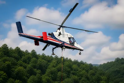
Remote deliveries need legal ground transport, secure staging, and a lift window built around current snow and wind conditions.
The city’s stated priorities in minerals, power, and energy support support local examples involving plant equipment, utility structures, and hard-to-reach industrial sites. Each example remains subject to parcel control and current operating conditions.
Industrial work can fail at the delivery gate before aircraft matching starts. The intake checklist records component dimensions, road limits, laydown space, and operating hazards. The Casper guide covers another Wyoming energy and fabrication setting.