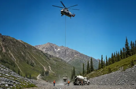
Mining Operation Support
Industrial and mineral-support sites require controlled ground zones, hazard review, and staging separated from active equipment routes.
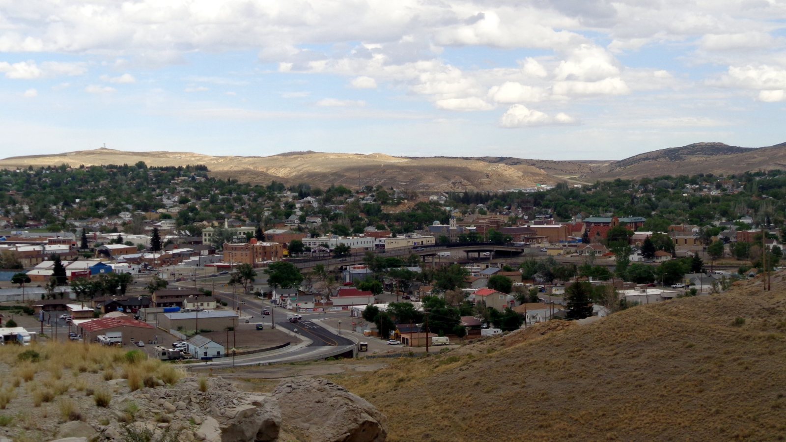
Local lift planning
A high-elevation airport, industrial land along I-80, and constrained infrastructure make delivery and staging part of the lift decision.
Photo: Vasiliymeshko, CC BY-SA 4.0 via Wikimedia Commons. Cropped, resized, and compressed under CC BY-SA 4.0. License terms.
The 2020 Census urban-area list counts 25,853 residents in the Rock Springs urban area, fifth in Wyoming. That whole-area count selects the guide. It does not represent a current city estimate or measure project demand.
The FAA diagram for Southwest Wyoming Regional Airport publishes a 6,765-foot field elevation. Runway 09-27 measures 10,002 by 150 feet, while Runway 03-21 measures 5,228 by 75 feet. The diagram establishes airport context, not acceptance of an external-load project or staging site.
Sweetwater County’s March 2021 industrial development plan examined the Middle Baxter Road and WY-370 corridor between I-80 and WY-430. It identifies truck access, Union Pacific rail, airport proximity, and water infrastructure as planning conditions. This is dated land-use context, not a current project announcement.
NWS 1991-2020 normals for the Rock Springs Fire Department station show 31.3 inches of annual snowfall and 10.45 inches of precipitation. The station sits at 6,270 feet, not at the airport. Current site forecasts and aviation weather still control the work window.
Rock Springs code requires a written permit and bond before excavating in a city street or alley. That rule applies when support work disturbs the public way. It does not mean every helicopter lift needs an excavation permit.
WYDOT publishes overweight and oversize permit applications for qualifying state-road movements. Route restrictions and clearances need a current check before a component is dispatched. City access and parcel control remain separate.
Industrial and mineral-support sites require controlled ground zones, hazard review, and staging separated from active equipment routes.

Large assemblies need a legal delivery route, verified weight, and a receiving sequence that fits the parcel and weather window.

Utility corridors require owner authority, energized clearances, access rights, and route planning across open terrain.
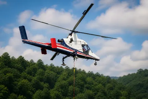
Remote freight work depends on secure staging, current road conditions, and performance calculated for the actual elevation and temperature.

High elevation and exposed terrain put wind limits, obstacle review, and lift-day calculations ahead of schedule preference.
The county-requested industrial plan for the airport-side corridor supports local examples involving large parcels, freight access, utility infrastructure, and industrial equipment. Its 2021 recommendations should not be read as current construction commitments.
An airport-adjacent parcel can still fail the practical test if the component cannot reach controlled staging ground. The intake checklist records road dimensions and laydown space, while the load verification sheet keeps certified weight and rigging allowance ahead of method selection.