
HVAC & Rooftop Units
Data-center and commercial rooftops require certified unit weight, rigging allowance, and a receiving zone separated from occupied areas.
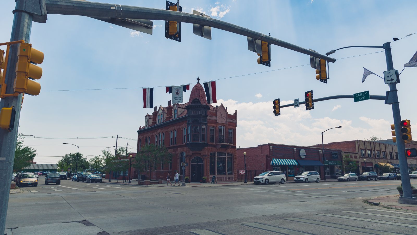
Local lift planning
A 6,160-foot airport, exposed wind corridors, and expanding data-center campuses put performance and ground control on the same planning sheet.
Photo: Tony Webster, CC BY-SA 2.0 via Wikimedia Commons. Cropped, resized, and compressed under CC BY-SA 2.0. License terms.
The Census Bureau’s Vintage 2025 metro estimates list only Cheyenne and Casper as Wyoming metropolitan statistical areas. The fallback therefore uses the official 2020 Census urban-area list, where Cheyenne ranks first in Wyoming at 79,250 residents. That whole-area count selects the guide. It is not a city estimate or a measure of project demand.
The current FAA diagram places Cheyenne Regional/Jerry Olson Field at 6,160 feet, with runways measuring 9,270 by 150 feet and 6,690 by 150 feet. The field elevation belongs in early aircraft-performance screening. Airport facilities shown on the diagram do not authorize project staging or an off-airport lift route.
The city reports that data centers operate, are under construction, or are being planned in business-park and industrial zoning districts. That supports a local focus on rooftop mechanical equipment, electrical infrastructure, and construction sequencing. The May 2026 counts are dated context, not a promise that every planned facility will be built.
NWS Cheyenne publishes five-day gust guidance and point forecasts for wind-prone southeast Wyoming corridors. A project window should use current site and route forecasts, not a seasonal assumption about wind. Ground-haul timing may fail before the aviation window does.
Cheyenne’s Engineering Department administers public right-of-way and reviews street work, with separate permit paths for grading, access, and utility work. Parcel permission does not extend into a public street. The controlling permit depends on the actual footprint.
At this elevation, published payload figures need to be tied to forecast conditions, fuel state, rigging weight, and the required hover profile. The density-altitude guide explains why the estimate and the lift-day check are different steps. The operator makes the final performance determination.
Data-center and commercial rooftops require certified unit weight, rigging allowance, and a receiving zone separated from occupied areas.

Electrical infrastructure work starts with utility control, energized clearances, and a route that respects public access limits.

Business-park construction can shift the method comparison toward delivery geometry, wind exposure, and repeated placement sequencing.

High winds, airport traffic, and open terrain make obstacle review and a conservative weather gate central to tower work.
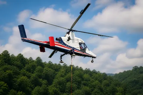
Outlying sites need a defensible freight plan, secure staging ground, and performance calculations based on the actual elevation and weather.
The city’s data-center development record supports local examples involving rooftop cooling equipment, power distribution, and phased work on occupied campuses. Each property still needs verified load data and a controlled receiving zone.
Industrial parks and public corridors create different access problems. The site survey checklist keeps truck approach, exclusion areas, obstacles, and property control in one record. The Laramie guide covers a separate high-elevation setting west along I-80.