
HVAC & Rooftop Units
Verify equipment data, roof drawings, and a ground area that stays clear of drainage features and active customer access.
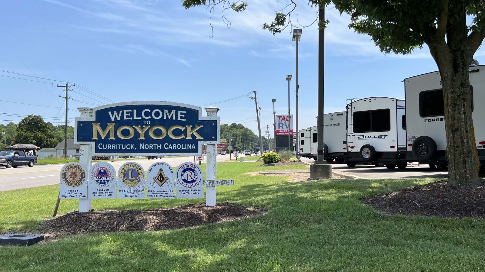
Local lift planning
Open-looking parcels can still be constrained by drainage, homes, roadside utilities, and one busy route to the Virginia line.
Photo: Packer1028, CC0 1.0 via Wikimedia Commons. Cropped and compressed. License terms.
The Census Bureau’s Vintage 2025 geographic-components data place Camden, Currituck, and Gates counties within the Virginia Beach-Chesapeake-Norfolk, VA-NC metropolitan area, estimated at 1,797,213 residents. That is the second-largest MSA containing North Carolina territory. Moyock is a Census-defined place used here as the North Carolina planning anchor. It is not an MSA principal city, and the whole-metro count is not Moyock’s population.
Currituck County’s adopted Moyock small-area plan describes a rural community under development pressure and identifies heavier traffic, stormwater runoff, drainage problems, and demand for centralized utilities as planning concerns. Those are area-level facts, not findings about a particular parcel. Before choosing a pickup area, record the property boundary, ditch locations, overhead utilities, homes, and public access through the site survey checklist.
Currituck County Regional Airport, ONX, is the county aviation reference in the current FAA Southeast Chart Supplement. The airport is in Currituck, not Moyock, and its published record is not permission to stage or operate there. Review the actual site coordinates, route, surrounding airspace, obstacles, and current NOTAMs. The external-load operations guide provides the wider Part 133 planning context.
N.C. 168 is the main northern corridor through Moyock. The NCDOT feasibility study examines widening 4.7 miles from Guinea Road to the Virginia line and includes utilities and right-of-way in its work. NCDOT identifies the route as busy and the project as unfunded. Treat it as current planning context, not promised future access. Map construction deliveries and traffic control against conditions that exist now.
Drainage belongs in the first site check. The county plan flags runoff and drainage as growth concerns. Confirm soil bearing, ditch locations, wet areas, and the effect of ground equipment before fixing a staging position. For the lifting-method decision, compare those same site limits through the helicopter-versus-crane framework. An open field may still be the wrong place for either method.
The National Weather Service Currituck page brings together county forecasts, radar, tropical outlooks, severe-weather guidance, precipitation forecasts, and Currituck Sound water levels. The relevant tools depend on the site’s exact inland or sound-side position. Weather at a sheltered parcel does not describe the entire aircraft route or the roads supporting it.
Verify equipment data, roof drawings, and a ground area that stays clear of drainage features and active customer access.

Evaluate steel placement against the parcel boundary, nearby homes, and access from N.C. 168 or its connecting roads.

Tower sections require current FAA and NOTAM review, exact coordinates, and confirmation of the controlling property and road authorities.

Inspect roadside access and existing utilities before defining a staging concept. NCDOT’s N.C. 168 study expressly includes both.

At sand, aggregate, or borrow sites in the wider region, compare aircraft staging with soft ground, drainage channels, and haul-road access.
The adopted Moyock plan identifies business and industry as part of the area’s growth strategy. Its plan-era inventory notes industrial land, commercial land, a north-south rail line, and large areas that remained undeveloped when the plan was prepared. Those references do not establish an active project today. At a comparable site, verify the load and access before evaluating rooftop mechanical placement or structural work.
Moyock’s connection to Hampton Roads shapes daily traffic. The county plan describes strong out-of-state commuting, while NCDOT calls Moyock a growing commuter community on N.C. 168. A work plan should account for cross-state traffic without assuming Virginia agencies control a North Carolina property. Charlotte presents a much denser ground-control problem, but both guides start with the same question: who controls every part of the support footprint?