
Steel & Infrastructure
The certified industrial site is zoned for heavy industry. Equipment placement still starts with verified weights, utility clearances, production controls, and a secure receiving area.
Local lift planning
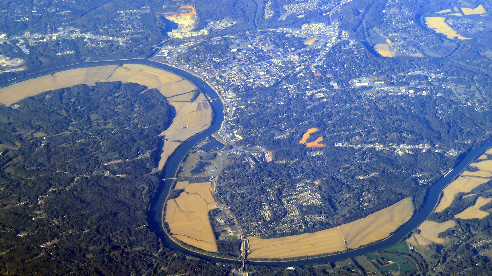
Military and civilian training share the local airport environment, while the Cumberland River puts bank condition and drainage into ground planning.
Photo: Pi.1415926535, CC BY-SA 4.0 via Wikimedia Commons. Cropped, resized, and compressed; derivative distributed under CC BY-SA 4.0. License terms.
The Census Bureau Vintage 2025 metropolitan-area table estimates 349,001 residents in the Clarksville, TN-KY MSA on July 1, 2025. The whole-area total crosses into Kentucky, ranks fifth among MSAs containing Tennessee territory, and selects this guide. It is not Clarksville’s city population or evidence of lifting demand.
The current FAA Chart Supplement entry for Outlaw Field places CKV six miles northwest of Clarksville at 550 feet. Runway 17/35 is 5,999 by 100 feet, while Runway 05/23 is listed closed indefinitely. The FAA also reports parachute jumping and extensive military and civilian flight training. Current NOTAMs and direct coordination remain necessary.
The state’s Corporate Business Park South profile places the south entrance less than half a mile east of I-24 Exit 8 and identifies utility service for manufacturing, warehousing, and distribution uses. Highway proximity helps delivery without proving that a parcel has the laydown area or utility clearance needed for a suspended-load route.
Outlaw Field combines parachute activity with military and civilian training, and the FAA entry lists one runway closed indefinitely. Airport conditions, NOTAMs, and the proposed route need a current review rather than a schedule built from published dimensions alone.
The National Weather Service account of the December 9, 2023 outbreak rates the Clarksville tornado EF-3, with an estimated 150 mph peak wind and a 47.75-mile path. This event record supports a firm severe-weather decision point. It is not a forecast for a proposed work date.
Clarksville’s South Riverside Drive floodplain project addresses severe scour with sheet pile, riprap, and regrading inside the 100-year floodplain. Riverfront staging needs verified bearing conditions, drainage, and edge setbacks. A calm aerial photograph cannot answer those questions.
The certified industrial site is zoned for heavy industry. Equipment placement still starts with verified weights, utility clearances, production controls, and a secure receiving area.

Warehousing and distribution buildings can have large roof plans but limited final access. Confirm unit data, roof capacity, and the controlled area below the route.

Industrial utilities and river-adjacent infrastructure need current locating, clearance, property authority, and ground conditions before an aerial access benefit is assumed.

Outlaw Field’s training and parachute activity make exact coordinates important. Current airspace, NOTAMs, obstacles, and local coordination control the route review.

Clarksville’s tornado and floodplain records show two different hazards. Recovery planning still depends on current weather, site stability, local command, and access authority.
TNECD describes Corporate Business Park South as a 75-acre industrial site with M-2 heavy-industrial zoning, direct four-lane access, and utilities for manufacturing, warehousing, and distribution. Those facts apply to this site and should not be generalized to every Clarksville parcel.
The city’s Street Department handles traffic-control engineering, stormwater support, and road maintenance. Industrial and riverfront work may cross several of those responsibilities before equipment reaches the site. The site survey checklist keeps road authority, drainage, and property boundaries in the same field record.