
HVAC & Rooftop Units
Commercial and industrial sites near I-77 still need verified unit data, roof geometry, public separation, and a workable delivery route before access methods are compared.
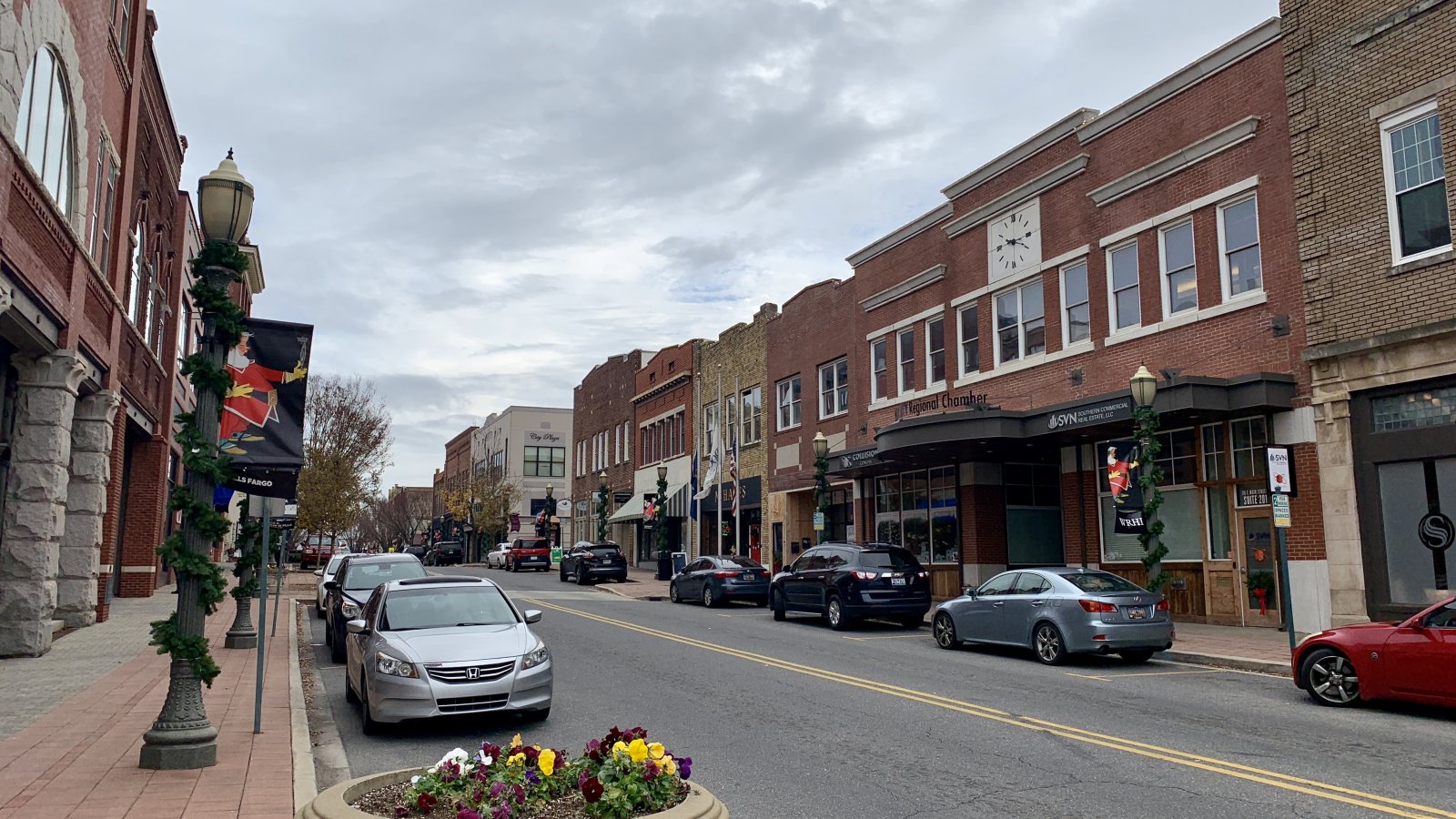
Local lift planning
I-77 and rail-served campuses offer clear ground connections, but Charlotte-area traffic and split road authority can complicate a short equipment route.
Photo: Hashtag youre it, CC BY-SA 4.0 via Wikimedia Commons. Cropped, resized, and compressed; derivative distributed under CC BY-SA 4.0. License terms.
The Census Bureau’s Vintage 2025 metropolitan-area table estimates 2,938,830 residents in the Charlotte-Concord-Gastonia, NC-SC metropolitan area on July 1, 2025. This directory uses Rock Hill as the South Carolina editorial anchor for that cross-state area. The population figure selects the guide. It does not measure lifting demand.
Rock Hill’s Economic and Urban Development department identifies TechPark, Waterford Business Park, Legacy, and Riverwalk as business or industrial parks with access to I-77. That supports an early delivery-route screen. Each parcel still needs confirmed access, receiving geometry, and property authority.
The current FAA entry for Rock Hill/York County/Bryant Field places UZA four miles northwest of Rock Hill and lists one 5,500-by-100-foot grooved asphalt runway. Communications include Charlotte Approach, and Runway 02 has an ILS/DME. This establishes regional aviation context, not approval for an off-airport route. The external-load guide explains the wider review.
The FAA airport entry reports a voluntary noise-abatement procedure and wildlife near UZA. It also assigns approach and departure communications to Charlotte Approach. Current charts, NOTAMs, obstacle data, exact coordinates, and the proposed suspended-load path remain necessary.
The National Weather Service Greenville-Spartanburg severe-weather guide says downbursts are especially common in the Piedmont, with a typical Piedmont county recording at least one event on four to seven days per year. June and July are the regional peak. This is planning climatology, not a site forecast or aircraft limit.
Rock Hill’s civil-plan guidance requires civil plans to show truck turning movements and, when required, the location and size of loading zones. Map any street, sidewalk, or easement in the support footprint before assuming that the space is available. The site survey checklist keeps those interfaces in the field record.
Commercial and industrial sites near I-77 still need verified unit data, roof geometry, public separation, and a workable delivery route before access methods are compared.

A rail-served or interstate-adjacent parcel can simplify delivery without solving the placement. Confirm component data, unloading space, the receiving area, and every affected property boundary.

UZA sits within the Charlotte regional traffic picture. Tower or rooftop-structure concepts need exact coordinates, current aeronautical information, and a route review before an access benefit is assumed.

Utility work that reaches a street, easement, or roadside area may involve city, county, or state authority. Fix the road owner and work-zone limits early.
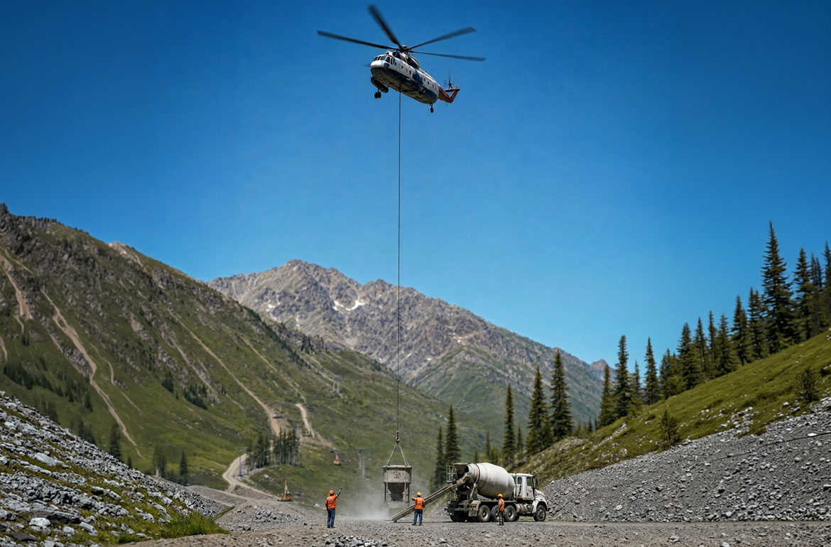
Bulk-material and industrial equipment placements need secure laydown space and a ground-method comparison before difficult internal access is treated as an aircraft-fit question.
The city’s economic-development page documents four business and industrial parks near I-77. Those campuses provide a specific commercial and industrial setting for access comparisons. The citywide description does not establish activity or suitability at an individual property.
A 2026 city notice about Palmetto Research Park describes the park as a 209-acre, Industry General-zoned property beside I-77 Exit 81 with Norfolk Southern rail access. The same notice records a planned medical campus on about 25 acres. Rail access and acreage are corridor facts, not evidence that a particular load can be received there. The load-weight guide covers the first equipment check.