
HVAC & Rooftop Units
Downtown and Haywood Road employment hubs can combine occupied buildings with public streets. Verify unit data, roof geometry, street authority, and the controlled receiving area before comparing access methods.
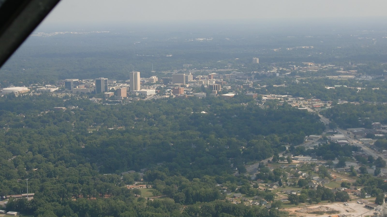
Local lift planning
Downtown streets, two nearby airport traffic patterns, and an industrial employment corridor can put several authorities around one compact work area.
Photo: Erikjc, CC BY-SA 3.0 via Wikimedia Commons. Cropped, resized, and compressed; derivative distributed under CC BY-SA 3.0. License terms.
The Census Bureau’s Vintage 2025 metropolitan-area table estimates 1,014,101 residents in the Greenville-Anderson-Greer metropolitan area on July 1, 2025. Greenville serves as this directory’s editorial anchor for the MSA. Population selects the guide. It does not establish lifting demand.
The current FAA entry for Greenville Downtown Airport places GMU three miles east of Greenville. It lists a 5,393-by-100-foot principal runway, a second 4,000-by-80-foot runway, and two 50-by-50-foot concrete helipads. Class D service operates during published tower hours, with Class G at other times. These facilities are regional context, not an external-load authorization.
The Greenville County comprehensive plan identifies Downtown Greenville, the Haywood Road area, South Carolina Technology and Aviation Center, and CU-ICAR as significant employment hubs. The plan’s data are from 2018, so they establish the documented development pattern rather than current project activity.
The FAA entry for GMU cautions traffic south through east of the airport about aircraft descending on the Greenville-Spartanburg localizer. Arrivals from the south-southwest are also told to watch Donaldson Field traffic 4.5 miles south. Exact coordinates, current charts, NOTAMs, obstacles, and the proposed route determine whether those traffic patterns affect a site.
The National Weather Service regional severe-weather guide identifies damaging wind gusts as the most common severe-weather form across the western Carolinas and northeast Georgia. Downbursts peak in June and July and are especially common in the Piedmont. Current observations and forecasts still control the work window.
The City of Greenville issues general encroachment permits for construction, utility connections, and maintenance within the public right-of-way. That city permit does not establish control over private property or a state-maintained road. Match each part of the support footprint to its owner before street occupation is assumed. The site survey checklist keeps those interfaces in the field record.
Downtown and Haywood Road employment hubs can combine occupied buildings with public streets. Verify unit data, roof geometry, street authority, and the controlled receiving area before comparing access methods.

Manufacturing and research campuses require certified component data, delivery dimensions, laydown space, and shutdown boundaries. A regional industry label does not answer those site questions.

GMU traffic can intersect aircraft using the Greenville-Spartanburg localizer or operating near Donaldson Field. Exact coordinates and the active air-traffic picture remain decisive.

Utility work in a Greenville public right-of-way requires city encroachment review. Private parcels and state-maintained roads retain separate control.
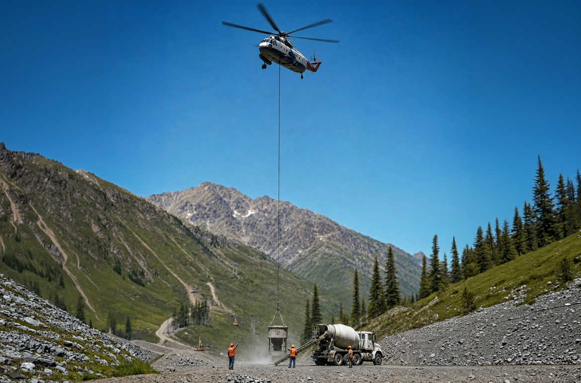
Bulk-material or industrial-process equipment needs a clear ground-method comparison and controlled receiving area before constrained access is treated as an aviation problem.
Greenville County’s comprehensive plan economic-development section reports that manufacturing accounted for 17.3 percent of county employment in 2018. It also identifies automotive, aerospace, life sciences, and engineered materials as leading industries. These dated plan figures establish industrial context, not present activity at a named facility.
Greenville-Spartanburg International Airport’s published statistics report 64,593 tons of cargo in 2025, including 54,108 tons of freight and 10,485 tons of express cargo. GSP is in Greer, so those figures describe the regional logistics system rather than a Greenville staging site or off-airport flight path. The load-weight guide covers the first equipment check.