
HVAC & Rooftop Units
Downtown and industrial roofs need exact unit data, a controlled receiving area, and a delivery plan that accounts for city right-of-way.
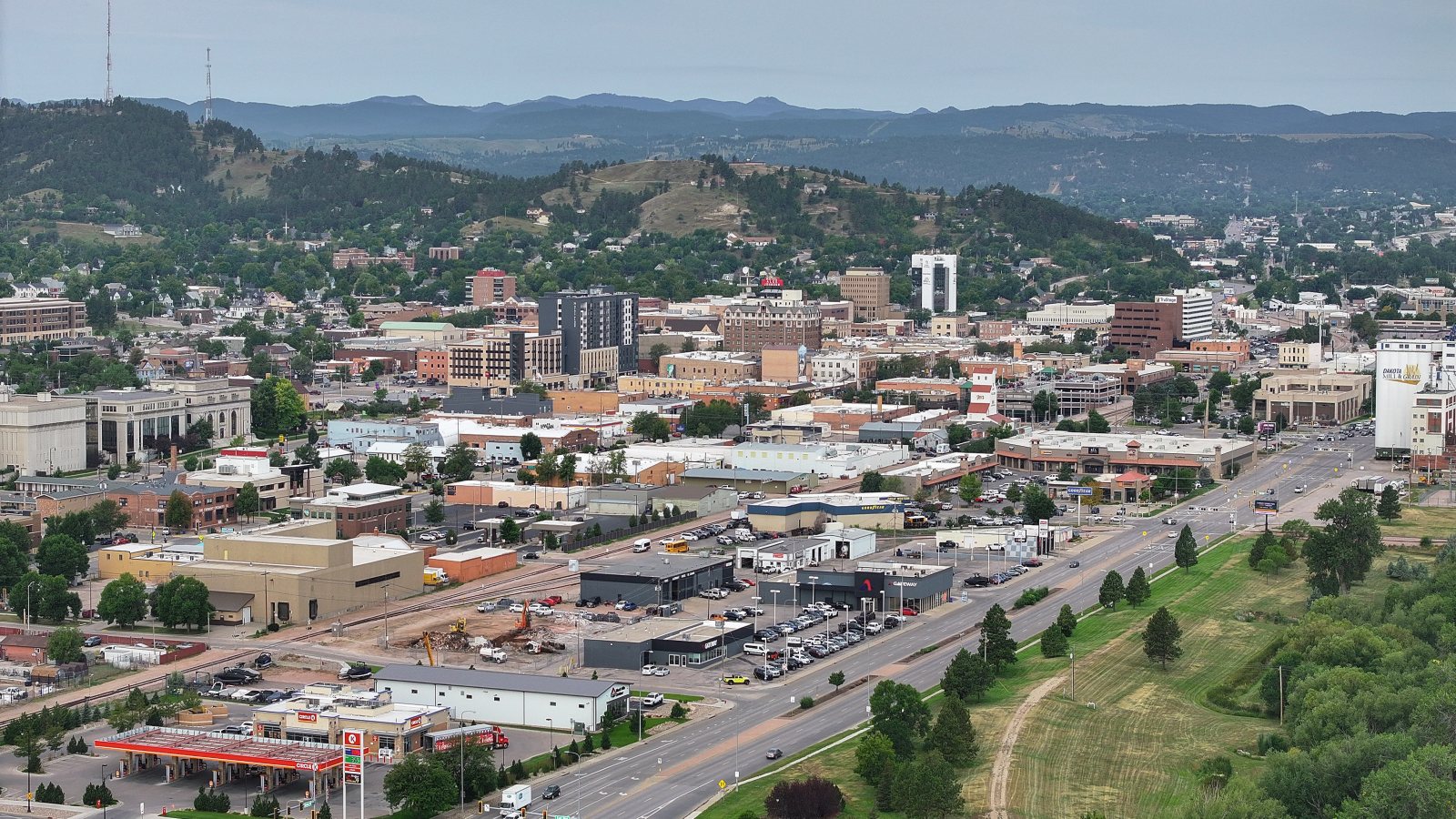
Local lift planning
Rapid City sits where prairie access meets Black Hills terrain. A route that looks short on a map can change quickly with elevation, traffic, or summer weather.
Photo: Quintin Soloviev, CC BY 4.0 via Wikimedia Commons. Cropped, resized, and compressed. License terms.
The Census Bureau Vintage 2025 place table estimates 80,589 residents in Rapid City, the second-largest incorporated-place estimate in South Dakota. Population selects this guide. It does not indicate project demand.
Rapid City Regional Airport’s 2022 master plan places the airport on a 1,720-acre low plateau about nine miles east of downtown. The plan says surrounding topography limits economical development. That setting belongs in an early staging and access screen, not a blanket suitability conclusion.
The current FAA airport diagram for Rapid City Regional shows an 8,701-by-150-foot primary runway, general-aviation ramps, an Army National Guard area, and a U.S. Forest Service ramp. These facilities establish regional aviation context. They do not authorize an off-airport route. The external-load guide explains the wider review.
The airport elevation is about 3,204 feet, and the Black Hills rise west of the city. Temperature, fuel, load, wind, and exact route terrain belong in the aircraft-specific performance calculation. The airport diagram alone cannot answer that question.
The National Weather Service Rapid City severe-weather climatology says the main severe season runs from late May through August. Hail is the most frequently reported severe-weather type, while qualifying straight-line wind begins at 58 mph. Current observations and forecasts still control the schedule.
The city’s right-of-way permit form requests project details and a traffic-control plan. Erosion and sediment controls may also apply. Match every street, sidewalk, easement, and private parcel in the support footprint to its authority. The site survey checklist keeps that map in the project record.
Downtown and industrial roofs need exact unit data, a controlled receiving area, and a delivery plan that accounts for city right-of-way.

Fabrication and warehouse districts still require certified member weights, secure laydown space, and clear boundaries below the proposed route.
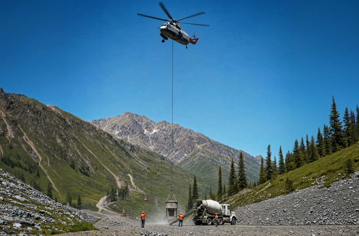
Mapped extraction areas provide a concrete industrial setting. Actual terrain, road access, site authority, load data, and operating conditions must be established at the property.

Utility work near hills, roads, or easements needs a complete ground-authority map and an aircraft-specific terrain and weather review.

The airport supports U.S. Forest Service activity, but published facilities do not guarantee availability. Incident access, airspace, local command, and site conditions remain current facts.
The Rapid City comprehensive plan maps light and heavy industrial areas southeast of downtown near Old Folsom Road and the railroad. It associates heavy industrial land with fabrication, manufacturing, warehousing, distribution, and outdoor storage. Parcel-level activity still needs verification.
The same plan identifies mining and extraction areas near Sturgis Road and south of I-90 in northwest Rapid City. That is land-use context, not evidence that a mine has a current lifting need or that a site can receive an aircraft-supported placement. The load-weight guide covers the first equipment check.