
HVAC & Rooftop Units
A rooftop-equipment plan needs certified unit data and a controlled receiving area. Any sidewalk, lane, or construction-equipment footprint should be matched to the city or SCDOT right-of-way owner.

Local lift planning
Columbia’s regional advantage is access. The same interstate and cargo network also puts active bridge work and public road authority into the plan.
Photo: Thomas Kirchel, CC BY-SA 4.0 via Wikimedia Commons. Cropped, resized, and compressed; derivative distributed under CC BY-SA 4.0. License terms.
The Census Bureau’s Vintage 2025 metropolitan-area table estimates 879,918 residents in the Columbia metropolitan area on July 1, 2025. The number covers the whole MSA rather than Columbia city limits. It selects the guide and does not measure lifting demand.
The current FAA airport diagram for Columbia Metropolitan Airport shows two paved runways, measuring 8,601 by 150 feet and 8,001 by 150 feet. It also marks west and east cargo areas, FBO ramps, and U.S. Customs. This is regional infrastructure evidence rather than a staging recommendation. The external-load guide explains the wider review.
The City of Columbia defines temporary encroachments to include lane closures, sidewalk closures, construction equipment, and other work in public right-of-way. A separate SCDOT permit is required when state-maintained right-of-way is involved, and both approvals must be in place before work begins.
The FAA airport diagram marks two hot spots and carries an explicit runway-crossing caution. The cargo aprons and intersecting runway system do not determine conditions at an off-airport site. Current charts, NOTAMs, obstacles, and the proposed route still control the aviation screen.
The NWS Columbia 1991–2020 climate normals report a normal 80.9 days per year above 90 degrees. The same source gives 45.24 inches of annual precipitation. These are regional climate benchmarks, not a work-date forecast. Current temperature, wind, precipitation, surface conditions, and operator limits govern the schedule.
SCDOT’s Carolina Crossroads Phase 3D page defines a planned reconstruction of the I-26/I-126 interchange, including bridge replacements within the interchange and over the Saluda River. The wider program covers roughly 14 miles of I-20, I-26, and I-126. Delivery routes should use current traffic controls and project notices, not the permanent highway map. The site survey checklist keeps those interfaces in the field record.
A rooftop-equipment plan needs certified unit data and a controlled receiving area. Any sidewalk, lane, or construction-equipment footprint should be matched to the city or SCDOT right-of-way owner.

Interstate and bridge settings require exact component weights, delivery timing, and separation from live traffic. Carolina Crossroads notices should be checked close to the work date.

A tower concept near the CAE airport environment needs current airspace and obstacle review. Published airport infrastructure does not establish a usable route.

A short utility span can cross city and state right-of-way controls. Map each owner and the entire area below the proposed route before assigning traffic measures.
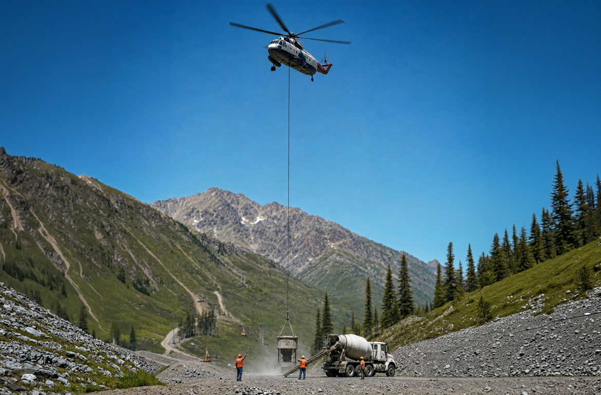
Distribution and bulk-material sites need secure laydown space, a verified load, and a ground-method comparison before internal access becomes an aviation question.
Columbia Economic Development identifies transportation, distribution, and logistics as a target industry. Its published network includes I-20, I-26, I-77, CSX and Norfolk Southern rail service, and air cargo at Columbia Metropolitan Airport. That supports a freight-access study. It does not establish a load or suitable receiving area.
The SCDOT Phase 3D scope includes interchange reconstruction and replacement of the I-26 bridge over the Saluda River. This establishes a major bridge and corridor-infrastructure context. Procurement status, traffic stages, component weights, and construction access remain current project facts to verify. The load-weight guide covers the first equipment check.