
HVAC & Rooftop Units
Campus, hospital, and downtown roofs can be close to busy streets and pedestrian routes. Event calendars and emergency access belong in the first site review.

Local lift planning
A university city, an automotive corridor, and the Black Warrior River create lift sites with sharply different access and airspace constraints.
Photo: Famartin, CC BY-SA 4.0 via Wikimedia Commons. Cropped and compressed.
Tuscaloosa National Airport lies northwest of the city, across the Black Warrior River from much of the developed core. The University of Alabama campus, downtown, hospitals, riverfront sites, and industrial areas all sit within a relatively compact metro. A proposed external-load route therefore needs current FAA charts, NOTAMs, airport activity, local helipads, and obstacles reviewed together.
Football dates add a specific airspace issue. The FAA’s standing sporting-event restriction applies around NCAA Division I football stadiums, beginning one hour before an event and continuing until one hour after it ends. Bryant-Denny Stadium game days can therefore change what is possible near campus. Event traffic and street control also consume ground space well beyond the stadium boundary.
The local economy joins the University, medical facilities, and Mercedes-Benz manufacturing with suppliers and broader West Alabama industry. The Black Warrior River, rail lines, wooded terrain, and active campuses can make the last part of a crane route difficult. A helicopter is one access method to compare, not a default answer.
Central Alabama summers bring heat, humidity, patchy fog, and recurring thunderstorms. Payload planning has to use forecast conditions for the actual site and time. A weather delay plan is especially important when the work also depends on campus closures, plant shutdowns, or utility switching.
The river divides staging options and concentrates crossings at bridges. Public trails, roads, rail activity, and boat traffic may exist below a route that looks clear from a rooftop. Ground-control boundaries must follow the full operation.
University events can change streets, pedestrian density, and airspace. The project calendar should be checked early, then checked again during final planning. A quiet weekday survey does not represent a major event weekend.
Campus, hospital, and downtown roofs can be close to busy streets and pedestrian routes. Event calendars and emergency access belong in the first site review.

Automotive plants and institutional additions can create structural placements where crane staging conflicts with production or campus circulation.

Communication infrastructure beyond the developed core may sit on wooded or uneven ground. Airport traffic and event restrictions still require current review.

River crossings and wooded rights-of-way can make aerial utility support worth comparing with temporary roads and conventional pulling methods.
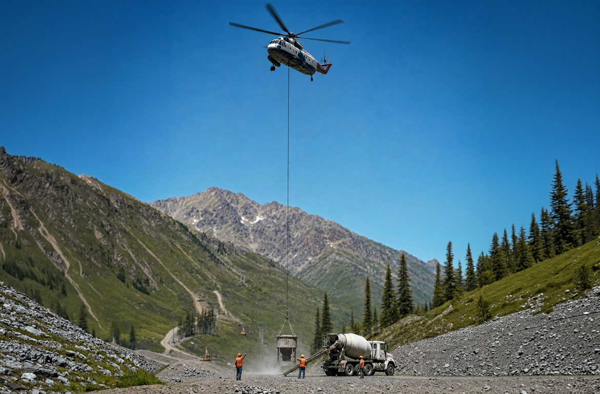
West Alabama aggregate and material sites can have steep working areas or isolated equipment positions where ground access controls the plan.
The University of Alabama and DCH create a large institutional and healthcare footprint with rooftop equipment, renovations, and strict emergency-access needs. Campus density can make a large ground crane disruptive even when the lift itself is short.
Mercedes-Benz and its supplier network support a major automotive manufacturing corridor. West Alabama also includes steel, wood products, plastics, electronics, and chemical operations. Plant access, shutdown duration, and the precise component weight determine whether aerial placement belongs in the comparison.