
HVAC & Rooftop Units
Government complexes, hospitals, and manufacturing roofs can have limited staging space. Emergency routes and secure access must remain workable below the flight path.
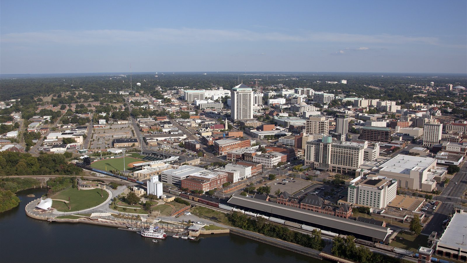
Local lift planning
Military flying, a downtown river edge, and large government and manufacturing sites demand a current route and a disciplined ground plan.
Photo: Carol M. Highsmith, Library of Congress, public domain. Cropped and compressed.
Montgomery sits between civil and military aviation activity. Montgomery Regional Airport has controlled surface airspace when its tower is operating, and Maxwell Air Force Base lies beside the city. Gunter Annex adds another major military property northeast of downtown. Routes, operating times, temporary restrictions, and local traffic must be checked against current FAA information before a staging location is treated as usable.
The Alabama River curves along downtown’s northwest edge, while the metro spreads across gently rolling terrain. The river, floodplain, rail lines, interstates, and established neighborhoods can narrow ground access even where the city appears open from above. Government campuses and military property add controlled boundaries. An aerial plan must account for everyone under the route, not only the owner of the set point.
Montgomery’s employment base includes state government, Maxwell-Gunter, healthcare, Hyundai, MOBIS, and aerospace manufacturing. That mix creates institutional roofs, automotive plants, warehouses, and utility infrastructure with very different shutdown rules. A lift that fits a commercial building may be wrong for an operating assembly plant.
The National Weather Service describes persistent heat and humidity from June through September, with local afternoon thunderstorms. High temperature reduces aircraft margin, while storm outflows can end an otherwise workable window quickly. Early work may help, but only current conditions and aircraft calculations settle the question.
Military and civil traffic patterns are operational facts, not background detail. A route that worked on a prior date may conflict with current activity or a temporary restriction. The operator needs current charts and direct coordination appropriate to the mission.
Government, military, and manufacturing sites can require layered access approvals. Security screening, production shutdowns, street control, and emergency routes should be scheduled around the aviation window without being confused with aviation authorization.
Government complexes, hospitals, and manufacturing roofs can have limited staging space. Emergency routes and secure access must remain workable below the flight path.

Automotive and aerospace facilities may have structural or process components that warrant an aerial-versus-crane access comparison.

Communication sites around the metro must be planned against Maxwell, Montgomery Regional, Gunter, and the current obstacle environment.

Utility corridors crossing river-adjacent or developed ground may benefit from aerial support where road access would create a larger footprint.
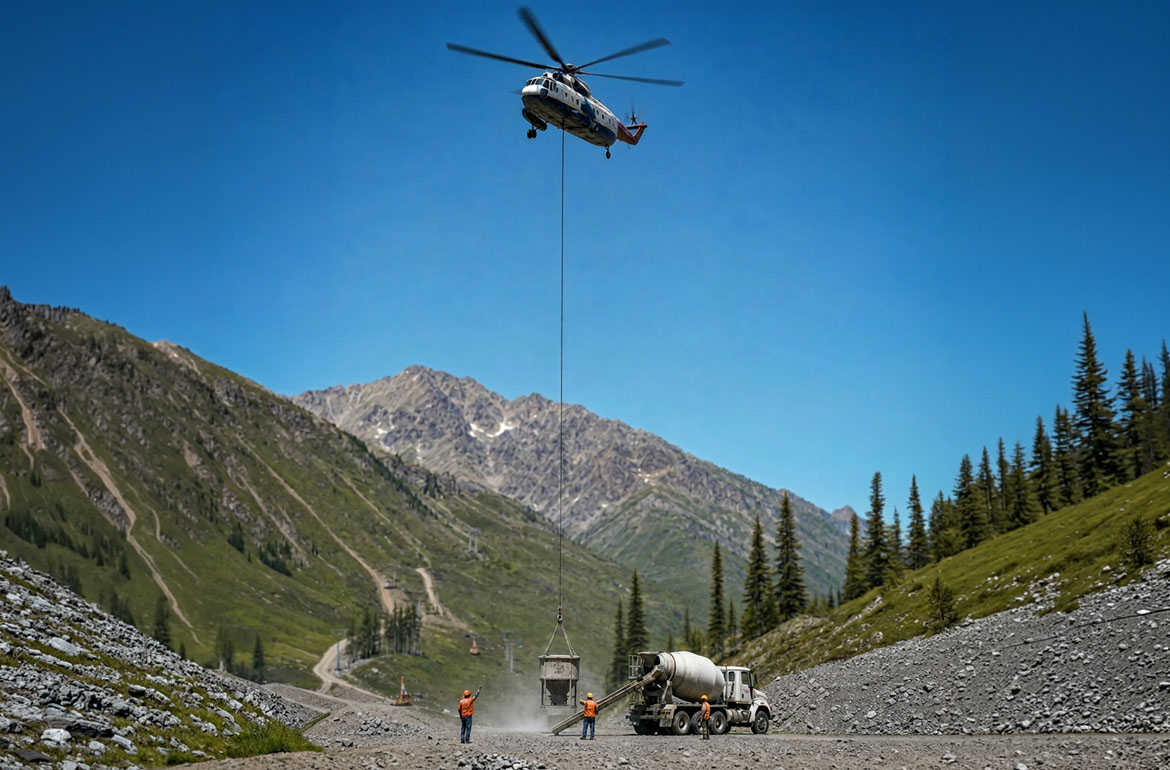
Aggregate and material operations outside the core can present remote components or steep working faces where access is the central issue.
State facilities and large institutional campuses contain mechanical systems, communications equipment, and renovation projects where crane setup may consume secure or heavily used ground space. The strongest aerial case is often about access and disruption, not raw load weight.
Automotive suppliers and the Hyundai assembly operation anchor a manufacturing corridor south of the city. Production facilities can present rooftop units, structural additions, or maintenance work with costly shutdown boundaries. Each candidate needs an exact load and site survey.