
HVAC & Rooftop Units
Commercial growth along the highway corridor creates rooftop work where traffic, parking, loose material, and public separation control the ground plan.
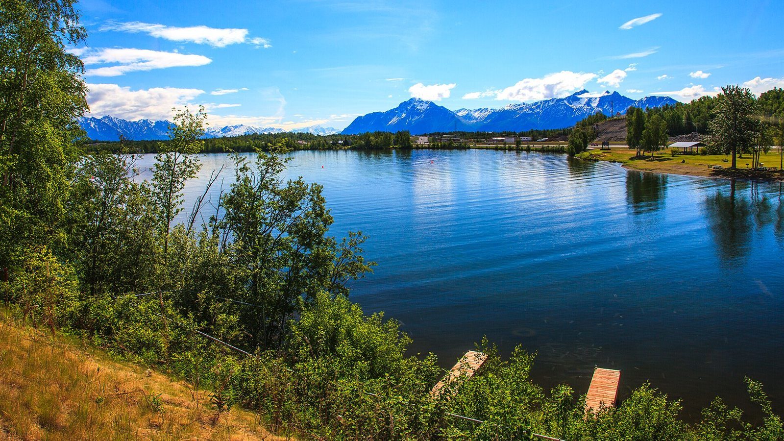
Local lift planning
A non-towered airport, numerous private strips and lakes, fast growth, and mountain weather put traffic awareness and staging access first.
Wasilla Airport is non-towered. The FAA Chart Supplement Alaska lists CTAF operations, Anchorage approach control, numerous private airports and lakes nearby, ultralight activity, a 3,700-foot paved runway, and a parallel turf or gravel strip without winter maintenance. The Matanuska-Susitna designated CTAF area makes self-announced traffic awareness a central route-planning issue.
The City of Wasilla development profile places the community at the Parks Highway and Alaska Railroad junction and describes its developable land, water and sewer service, and continuing construction. A staging area still has to be checked for road access, public use, nearby homes, loose material, snow storage, and traffic from water and land airports.
Wasilla is tied closely to the Anchorage location guide through commuting, freight, utilities, and regional aviation, but its operating picture is not an outer copy of Anchorage. The pickup or set point may sit outside Class C while the ferry route, support base, or alternate still interacts with Anchorage terminal airspace.
Winter reduces usable ground as snowbanks occupy shoulders, lots, and turnouts. The FAA Chart Supplement Alaska lists no winter maintenance on Wasilla’s turf or gravel strip and says runway condition is not monitored. A project staging area deserves the same skepticism after thaw, rain, or drifting snow.
Wildfire and smoke can affect routes and receiving sites across the Mat-Su. The Alaska Division of Forestry Mat-Su fire page is the official source for current fire restrictions and local conditions. Daily danger ratings change, so they belong in the operating-day review rather than evergreen copy.
Road work can add utility, drainage, traffic-control, and property questions. The Alaska DOT&PF Fishhook Road and Spruce Avenue project is a local example that includes drainage upgrades, utility relocation, and possible right-of-way acquisition. The controlling road owner and utility locates must be confirmed for the actual site. Ground approval does not authorize the aircraft operation.
Commercial growth along the highway corridor creates rooftop work where traffic, parking, loose material, and public separation control the ground plan.

New development and long Mat-Su corridors create utility work across wetlands, forest, rivers, and road-limited parcels.

Mountain and rural communication sites can avoid new access roads through aerial work, subject to local CTAF traffic and weather.
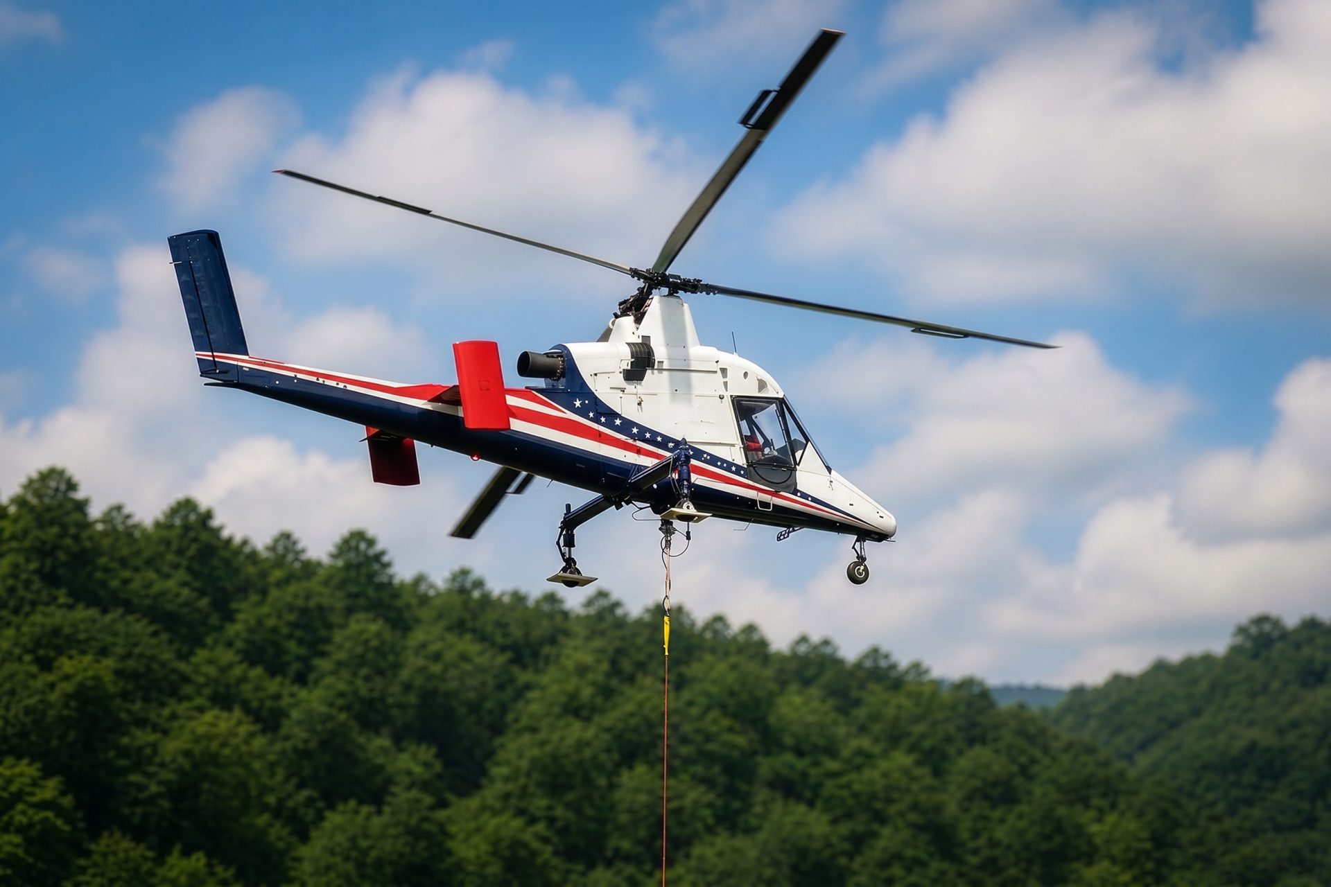
Wasilla can stage freight for Mat-Su sites beyond easy road access, but fuel, receiving crews, snow, and communications remain mission inputs.

Commercial and public construction can present short structural placements where highway access or crane setup needs a direct comparison.
Wasilla functions as a regional commercial, construction, utility, and service center for the Mat-Su Valley. The City of Wasilla economic development page describes the city as the Mat-Su Valley’s financial, service, and retail center, serving more than 100,000 surrounding residents. That is the city’s own characterization, not an independent market estimate.
Likely lift profiles range from rooftop mechanical work and utility expansion to communications sites, mountain projects, and freight staged for road-limited terrain north or east of the city. The access benefit has to be weighed against dense local aviation and growing public exposure.