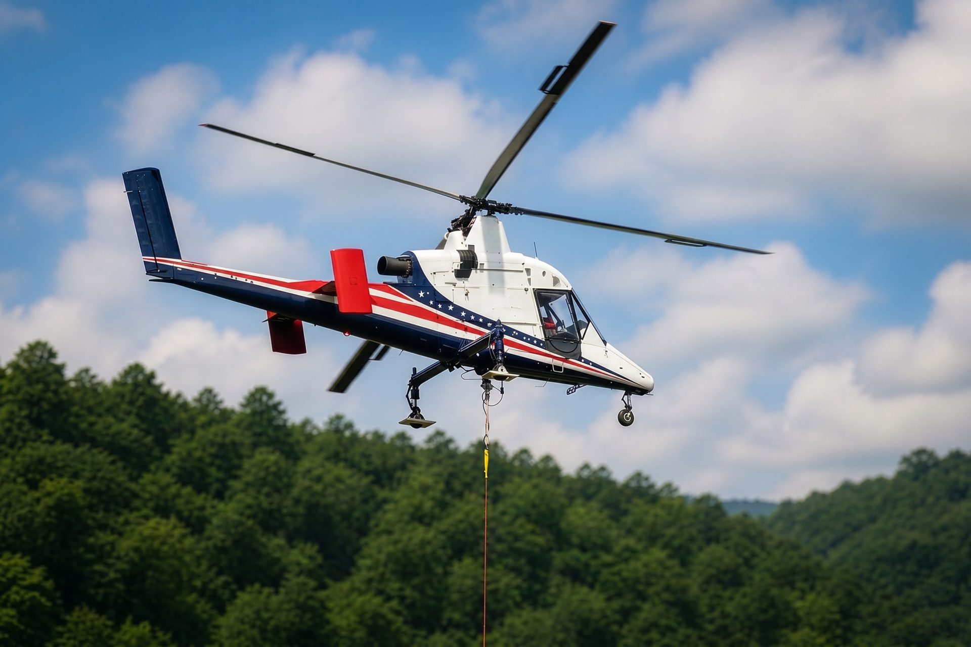
Remote Site Freight
Wildfire and remote public-safety logistics require conservative weather limits, receiving-site control, and no assumption that an available aircraft is suitable.
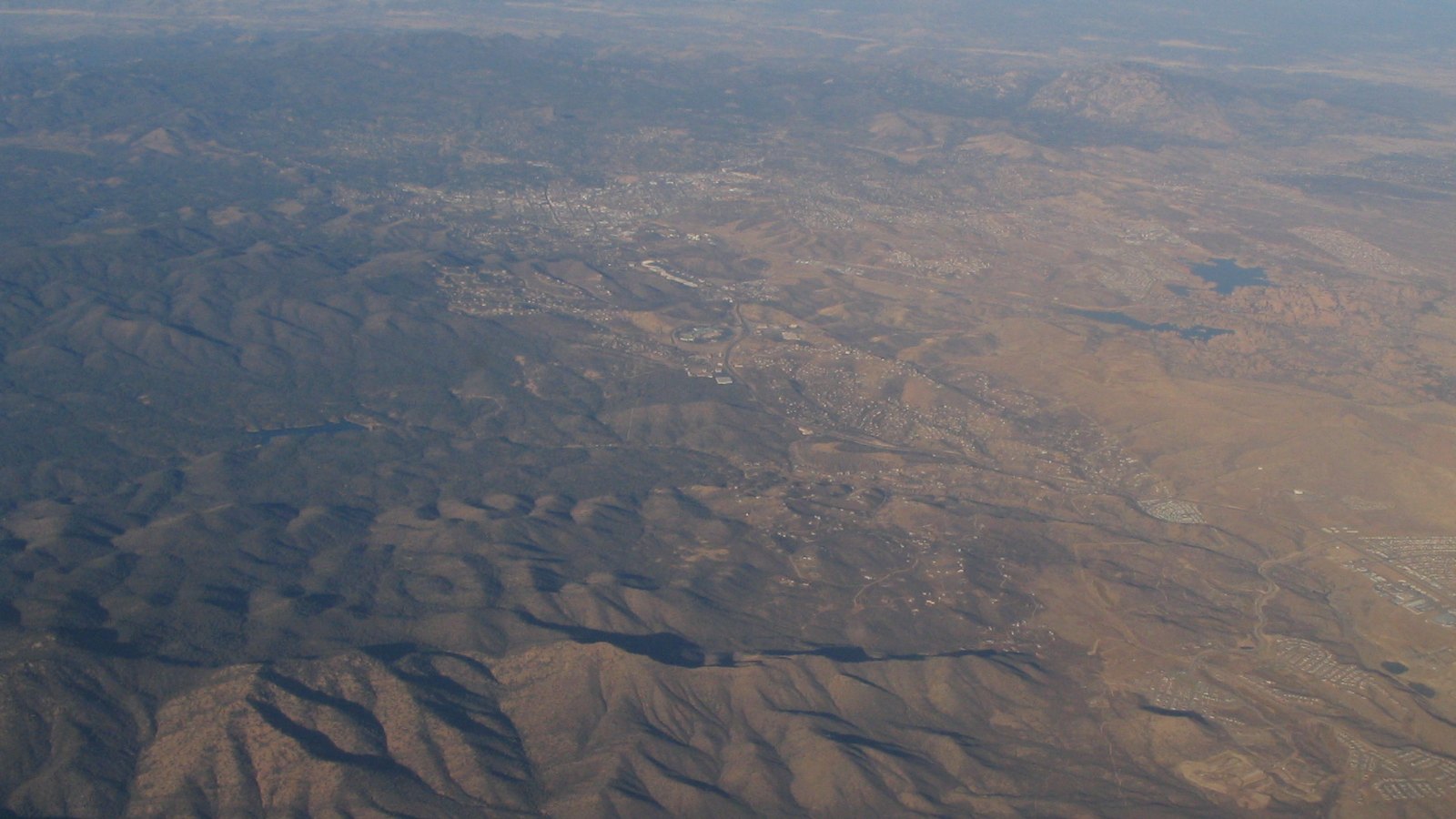
Local lift planning
A 5,045-foot airport, extensive training traffic, and fast-changing mountain weather put performance margins ahead of brochure capacity.
Photo: Ken Lund, CC BY-SA 2.0, via Wikimedia Commons. Cropped, resized, and compressed under CC BY-SA 2.0.
Prescott Regional Airport sits seven nautical miles north of the city at 5,045 feet elevation. The current FAA Southwest Chart Supplement lists three paved runways, towered Class D service during published hours, and extensive flight training. Field elevation is a performance input. It is not evidence that a proposed external load will fit a particular aircraft.
Northern Arizona weather brings a split season. NWS Flagstaff monsoon guidance places monsoon season from June 15 through September 30 and describes afternoon or evening thunderstorms, lightning, flash flooding, and dry-lightning fire starts. Fire weather normally peaks near the end of June, before deeper moisture becomes established.
Ground access between Prescott Valley, Prescott, and I-17 depends heavily on SR 69. An ADOT corridor study identifies the route as a principal arterial and Critical Rural Freight Corridor, with recurring congestion across a five-mile segment containing nine signals. Convoy timing, laydown access, and traffic control need their own plan.
High elevation and summer heat compound one another. Capacity must be calculated from the actual aircraft, fuel state, rigging, forecast temperature, and hover condition. The load-weight verification checklist is the right starting point before the airport or route is treated as workable.
Thunderstorms can change both flight and ground conditions. The NWS northern Arizona monsoon record tracks lightning, flash flooding, and fire starts from dry storms. A staging site that is safe at sunrise may be exposed to gust fronts, runoff, or fire restrictions later in the day.
Airport work may intersect active utilities and future airfield changes. The City of Prescott Ruger Road sewer project replaces a 10-inch sewer main with a 30-inch trunk, including a segment crossing airport property northeast of Runway 21L. That is the kind of conflict that makes current phasing, airport permission, and ground survey essential.
Wildfire and remote public-safety logistics require conservative weather limits, receiving-site control, and no assumption that an available aircraft is suitable.

Airport and civil construction can involve precise placements beside active pavements, security boundaries, and temporary work zones.

High-country utility corridors can trade road disturbance for stricter staging, fuel, communications, and weather planning.

Ridges, training traffic, and fire-season access constraints make approach geometry and current airspace review inseparable.

Institutional and airport facilities can create rooftop placements where access and operational continuity control the work window.
The City of Prescott airport property plan describes infrastructure intended to support public safety, airport operations, economic development, and seasonal U.S. Forest Service aerial firefighting aircraft. Any nearby construction has to preserve active aviation and emergency access.
The Ruger Road sewer work shows how civil infrastructure can cross an airport boundary. Utility components, trench access, airfield security, and future runway geometry must be reconciled before selecting an aerial or ground lifting method.