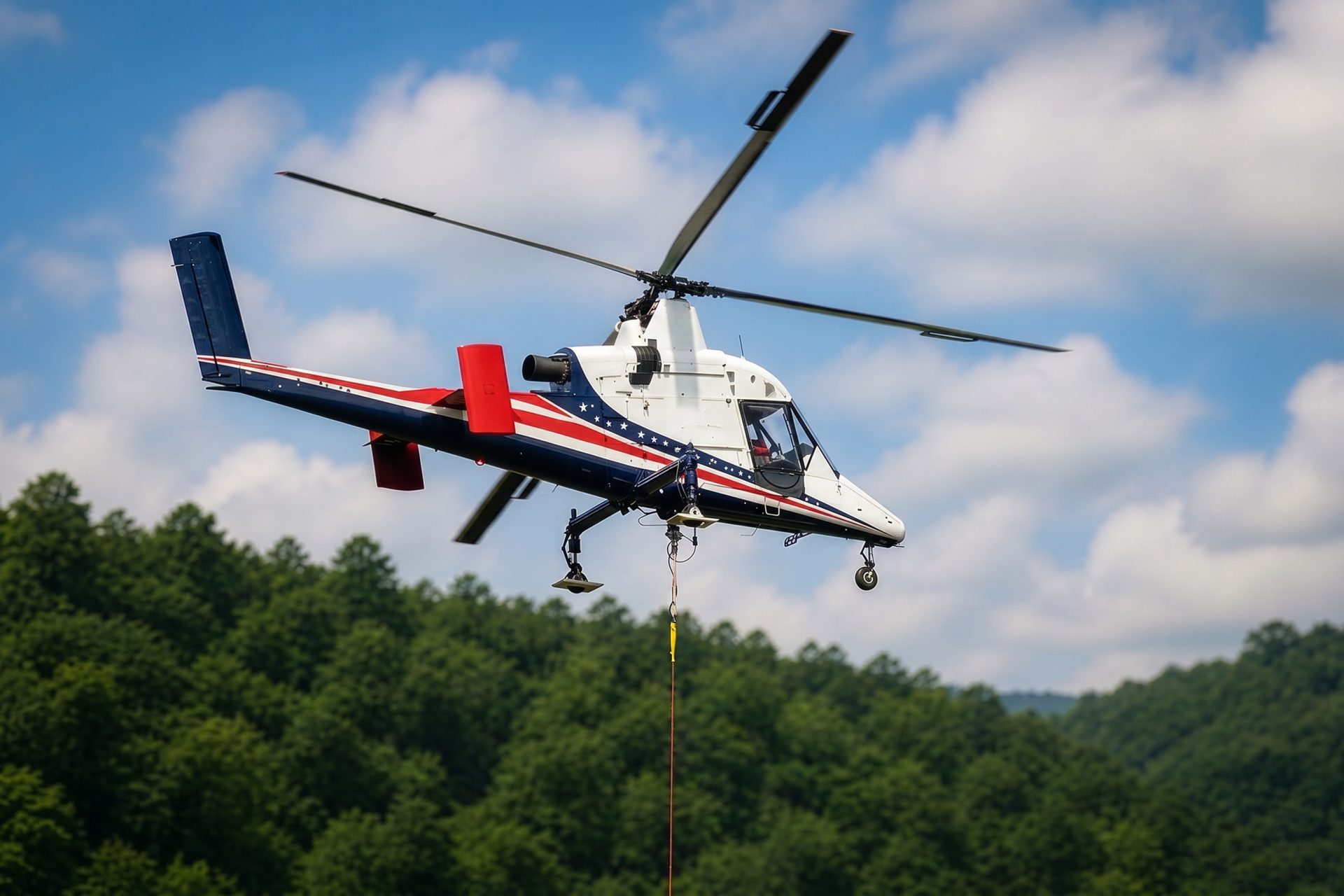
Remote Site Freight
Juneau’s lack of continental road access makes freight sequencing, marine arrival, local staging, weather alternates, and backhaul unusually important.
Local lift planning
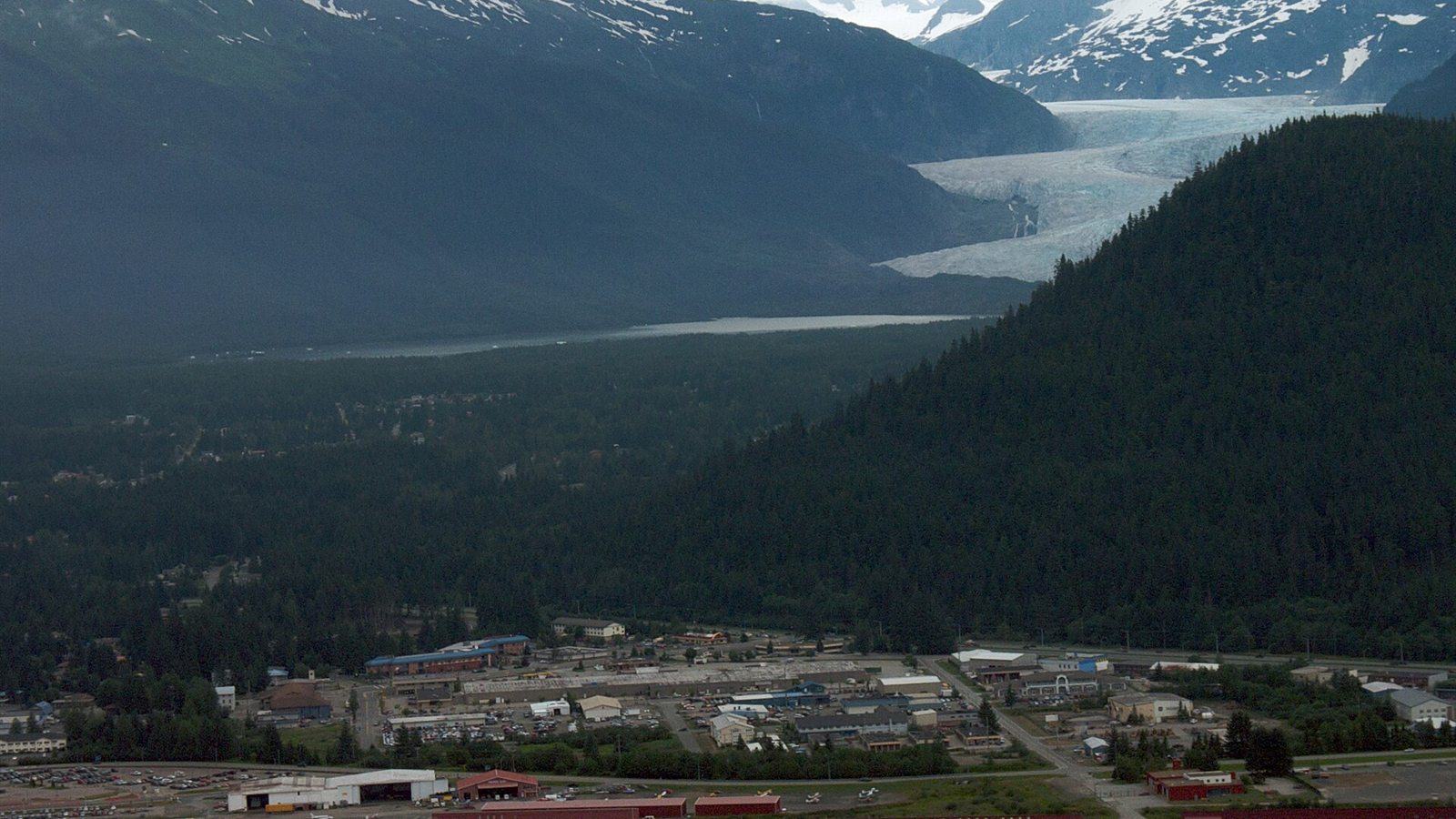
Part-time Class D airspace, steep terrain, marine-only freight access, and fast local wind changes compress the planning margin.
The FAA Chart Supplement Alaska lists Juneau International as Class D during published tower hours and Class E at other times. It also warns of heavy helicopter and aircraft activity from April 15 through October 1 along Gastineau Channel, paragliding near Thunder Mountain and downtown, and mountainous background that restricts controller visibility on the Runway 26 approach.
Juneau occupies a narrow band between salt water, steep slopes, wetlands, and the Juneau Icefield. The City and Borough of Juneau comprehensive plan states that the borough is accessible from outside only by sea and air. A missing component or unsuitable crane can therefore add a marine or aviation leg before local road access is considered.
Airport and downtown traffic share constrained channels with cruise ships, seaplanes, marine freight, and public waterfront areas. The CBJ Docks and Harbors facilities inventory includes cruise docks, small-boat harbors, launch ramps, commercial loading facilities, and boatyards. An aerial comparison has to account for the marine arrival, local staging, and final placement rather than treating the hook as an isolated move.
Juneau is wet even by coastal Alaska standards. NOAA 1991-2020 normals for Juneau International Airport report 66.99 inches of annual precipitation and 87.6 inches of annual snowfall. Airport normals do not describe a mountain set point, so wind, ceiling, precipitation, and surface condition still need site-specific observations.
Glacial flooding is a specific planning issue along Mendenhall Lake and River. The NWS August 2025 Mendenhall flood report documents a Suicide Basin outburst flood after record rainfall. Current alerts, road status, saturated staging ground, and emergency access can displace a lift window, but the hazard should not be generalized to every Juneau site.
The City and Borough of Juneau permit office reviews right-of-way permits, grading, drainage, driveways, and water or sewer work. Downtown closures have to preserve pedestrian control, emergency access, and cruise-season traffic. CBJ approval still does not replace the aviation plan.
Juneau’s lack of continental road access makes freight sequencing, marine arrival, local staging, weather alternates, and backhaul unusually important.
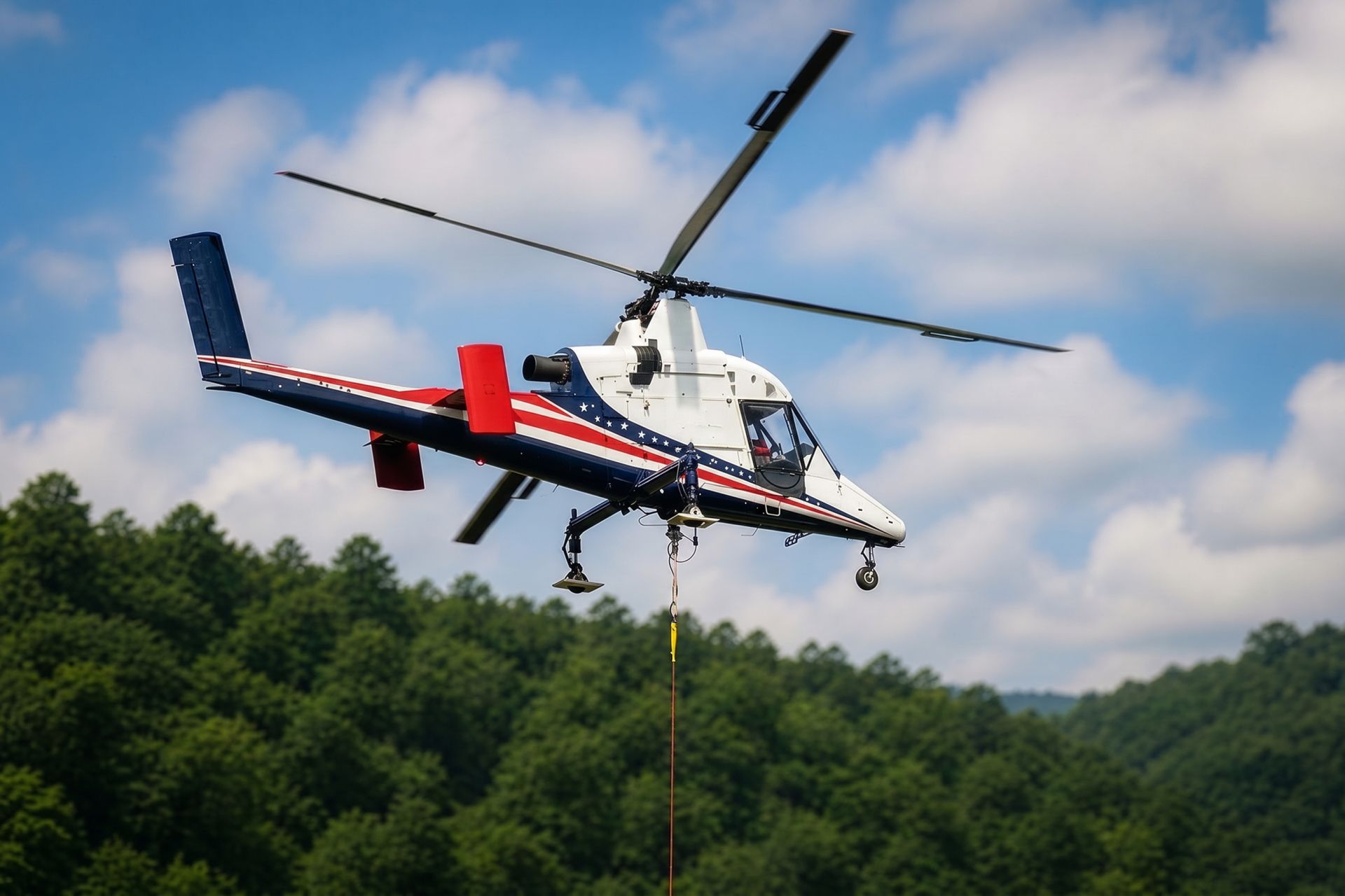
Mine and exploration sites can involve steep terrain, marine supply chains, controlled access, and components that cannot wait at an exposed staging area.

Downtown, government, healthcare, and visitor-season roofs can have little crane room and heavy pedestrian exposure below.

Mountain and island communication sites may avoid road construction through aerial access, but channel traffic and wind remain controlling facts.

Utilities crossing forest, wetlands, channel edges, and steep slopes can require small staging footprints and precise public separation.
State and federal government, mining, commercial fishing, seafood processing, tourism, construction, healthcare, and regional services anchor Juneau’s economy. The CBJ comprehensive plan identifies government, mining, commercial fishing, tourism, transportation services, manufacturing, and professional services in the city’s economic base. Those are established sectors, not a current employment ranking.
Mine support, remote utility work, waterfront construction, rooftop mechanical replacements, and communications sites all present plausible external-load cases. The decision should turn on exact load data, local access, seasonal traffic, terrain, and weather rather than the industry name.