
HVAC & Rooftop Units
Research campuses and secure manufacturing sites can make crane access or long street occupancy difficult. Rooftop lifts still have to respect facility security and nearby aviation activity.
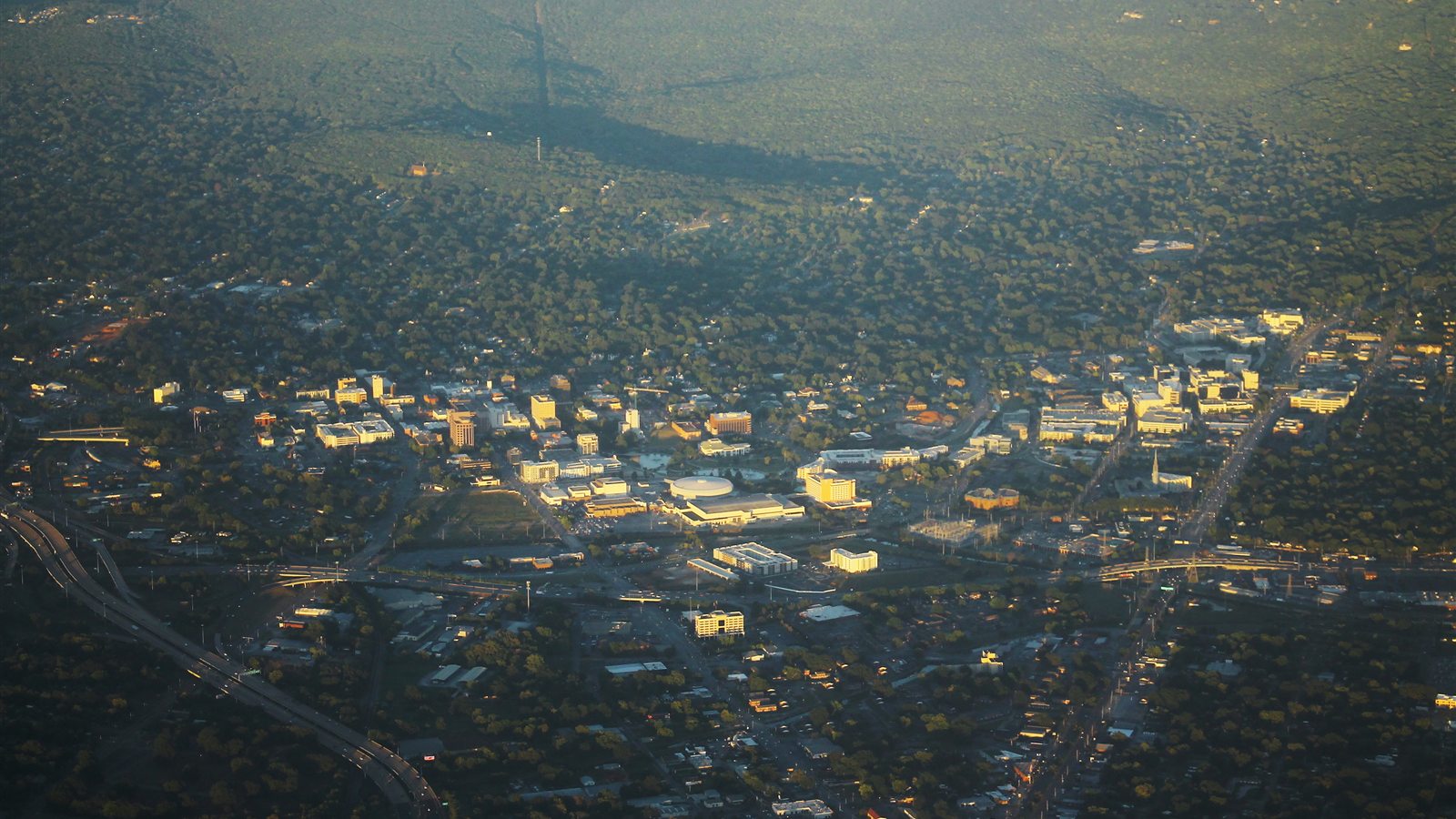
Local lift planning
Class C airspace, nearby military operations, and mountain ridges make route selection as important as the load.
Photo: formulanone, CC BY-SA 2.0 via Wikimedia Commons. Cropped and compressed.
Huntsville International Airport is surrounded by Class C airspace. The FAA also warns pilots about restricted airspace nearby, while Redstone Army Airfield sits only four miles northeast with its own Class D surface area when the tower is operating. That combination rules out casual assumptions about a direct path between a staging site and the work. Current charts, NOTAMs, military activity, the intended route, and air traffic coordination all belong in the first planning conversation.
The Tennessee Valley can look open from the ground, but Huntsville is framed by foothills and mountain ridges that reach roughly 1,200 to 1,600 feet. Monte Sano rises beside the city, and wooded slopes continue east and south toward the Tennessee River. Those features can limit sight lines and create awkward ground access to communication sites or utility corridors. A helicopter may remove the need to build a road up a slope, though the route still has to clear terrain and obstacles with the required external-load margin.
Local industry adds unusual site constraints. Redstone Arsenal, NASA Marshall Space Flight Center, Cummings Research Park, automotive production, and newer aerospace manufacturing facilities all operate around Huntsville. Some locations carry controlled access, sensitive operations, or production schedules that cannot be treated like an ordinary commercial roof. Site permission and security rules are separate from aviation approval, and both can shape where crews stage and how long a work window remains open.
Heat and humidity matter at the hook. The National Weather Service gives Huntsville a July normal high of 91.5 degrees. Aircraft performance must be calculated for forecast temperature, site elevation, fuel, rigging, and the actual hover condition. A cool morning can materially change the plan, but it does not replace an operator’s calculation.
Warm-season thunderstorms are common, and spring brings a greater severe-weather threat. A lift schedule needs a defined weather decision point and a plan for standing down without leaving streets, facilities, or utility work zones in an unsafe condition. Wind over the ridges can also differ from what crews feel at a protected staging area below.
Restricted and controlled airspace can change the practical route even when the pickup and set points are close together. Redstone activity, HSV traffic, temporary restrictions, and nearby helipads all require a current review. Old project drawings are not an airspace source.
Research campuses and secure manufacturing sites can make crane access or long street occupancy difficult. Rooftop lifts still have to respect facility security and nearby aviation activity.

Aerospace and advanced-manufacturing expansions can involve structural members or plant components where a short aerial placement deserves comparison with a conventional crane plan.

Monte Sano and the surrounding ridges carry communication infrastructure. Slope access, wooded staging areas, and controlled airspace all influence the route.

Transmission corridors cross wooded ground around the Tennessee Valley. Aerial support may reduce ground disturbance, but conductor control and airspace remain decisive.
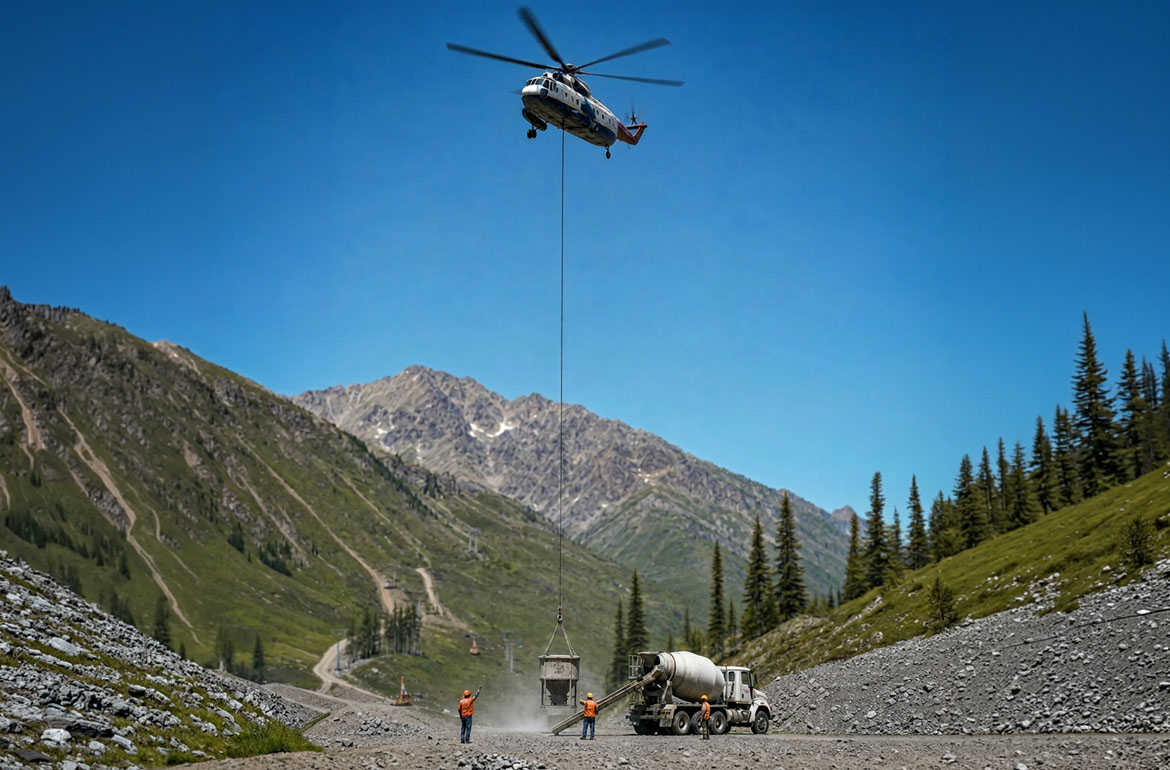
Quarries and aggregate sites beyond the urban core can present steep roads or isolated equipment positions where aerial access may be evaluated.
Huntsville’s aerospace and defense concentration creates work around specialized buildings, test facilities, research campuses, and high-value manufacturing equipment. Rooftop units or structural components may be candidates for an aerial comparison when crane access would interfere with secure gates or production traffic.
The city also has a large advanced-manufacturing base, including automotive and space hardware production. Outside the developed core, wooded utility corridors and ridge-mounted communication assets create a different access problem. The aircraft and ground plan should follow the site, not the industry label.