
Transmission Line Stringing
Substation and line work can combine heavy electrical equipment with public right-of-way controls and constrained central-city access.

Local lift planning
Mountain terrain and adjoining military airspace compress the available route before weather or payload enters the calculation.
Tucson International is a civil-military airport south of downtown. Its Class C airspace adjoins the Class C area around Davis-Monthan Air Force Base. The FAA Tucson airport guidance also calls out military training areas around the city, glider and skydiving activity, and mountainous terrain. Pickup and set points that look close on a street map can still require a carefully shaped route.
Tucson’s monsoon develops around the terrain. NWS Tucson monsoon guidance explains that mountain thunderstorms can produce microbursts above 70 mph as rain evaporates into hot desert air. Those outflows can raise dust that cuts visibility to near zero. As moisture deepens, flash flooding becomes another ground-access problem.
Tucson’s economic development strategy identifies aerospace, photonics, transportation, and renewable energy among its target clusters. Central-city grid work provides a concrete example: Tucson Electric Power says the Vine Substation will use 138 kV gas-insulated equipment and three 75 MVA transformers. That equipment profile demands exact transport, staging, and placement data rather than a generic capacity assumption.
Terrain and military activity shape the route together. The FAA airport briefing warns about mountains near Tucson International and training activity in every quadrant. Clearing a ridge does not establish that a route fits the current airspace picture.
Monsoon wind can arrive before rain. The NWS Tucson monsoon briefing identifies microbursts, dust, dry lightning, and flash flooding as hazards that develop at different points in the season. A work plan needs explicit stand-down thresholds and a safe way to secure the site when the window closes.
Tucson regulates construction in public rights-of-way. The city permits section covers utility trenching, electrical facilities, fiber work, and streetcar track access. Those approvals remain separate from FAA review. The site survey checklist helps keep ground ownership and aviation requirements in separate workstreams.
Substation and line work can combine heavy electrical equipment with public right-of-way controls and constrained central-city access.

Aerospace, university, and medical campuses can present rooftop placements where shutdown timing and ground access deserve a direct method comparison.

Mountain approach geometry and adjoining military airspace make route and staging analysis early screening questions.

Industrial and institutional construction can require precise structural placements beside active facilities or narrow work zones.
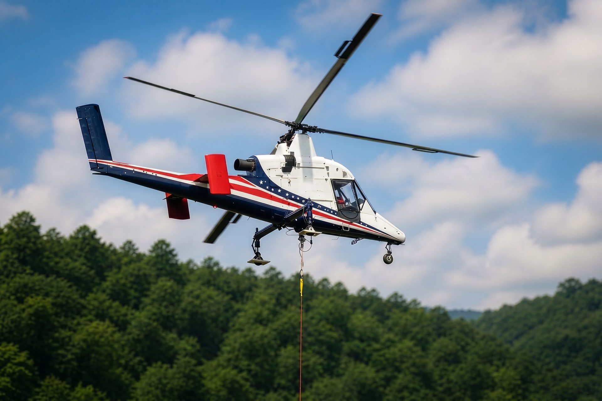
Sites beyond the urban basin shift the plan toward mountain weather, communications, fuel, and receiving-crew access.
Aerospace, defense, photonics, transportation, and renewable-energy work appear in the city’s economic strategy. Those sectors can put specialized equipment on campuses where access, shutdown timing, and military airspace matter as much as load weight.
The Vine Substation project shows the scale of electrical equipment entering central Tucson. Transformer and substation work still starts with engineered lifting points, accurate weights, utility clearances, and a controlled receiving zone.