
HVAC & Rooftop Units
Dense commercial districts and large industrial campuses can make street occupancy or production traffic the controlling issue for rooftop equipment.
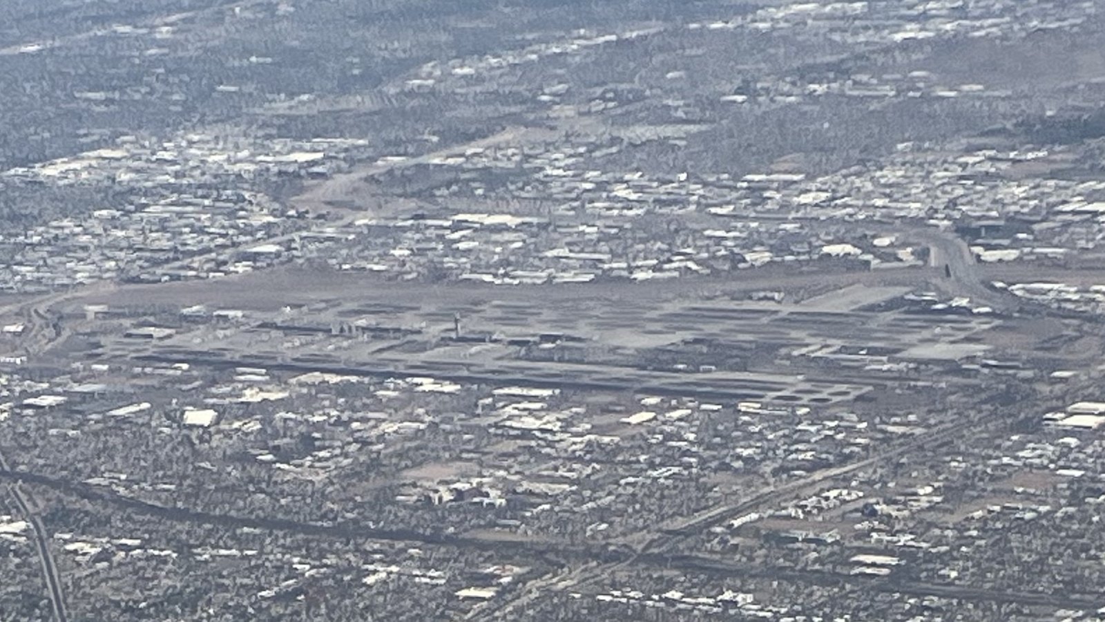
Local lift planning
Class B airspace, punishing summer heat, and fast-moving industrial construction leave little room for generic lift assumptions.
Photo: Designism, CC0 1.0, via Wikimedia Commons. Cropped, resized, and compressed.
Phoenix Sky Harbor sits about three miles east of the city at roughly 1,135 feet elevation. The FAA Arizona airport record identifies three runway pairs, cargo facilities, and continuous air traffic services. The FAA Phoenix airspace study describes Class B shelves built around the region’s instrument procedures, with a 9,000-foot MSL ceiling. A short distance between staging and set points does not guarantee a direct operating route.
Heat is the first payload question. The National Weather Service 2025 monsoon review recorded well-above-normal temperatures across the region. It also documented microburst damage, flash flooding, and a dust storm that cut visibility to near zero in parts of south-central Arizona. Aircraft performance, wind at the load, and a hard stop-work trigger belong in the same plan.
Phoenix’s industrial footprint is expanding. In July 2026, the City of Phoenix TSMC announcement described a $265 billion announced Arizona program across 12 facilities, while distinguishing the first fab already in volume production from future construction. Ground access has its own controls. The city’s utility coordination program uses permits for installation, relocation, or removal within city rights-of-way and coordinates conflicts on capital projects.
High temperature and site elevation belong in the lift calculation. Early morning may improve the performance case, but the selected aircraft still has to be checked against rigging weight, fuel, hover condition, and the forecast temperature. The density-altitude planning guide explains why a brochure payload number is not a usable Phoenix load limit.
Monsoon outflows can bring abrupt wind and blowing dust before rain reaches the work site. The NWS season review shows how microbursts, flash flooding, and dust can close a prepared work window within minutes. A site plan needs thresholds for wind, visibility, lightning, and ground evacuation.
Airspace clearance and property permission solve different problems. The Phoenix utility coordination rules control work in city rights-of-way. They do not clear a flight through Class B airspace, and ATC coordination does not authorize a street closure.
Dense commercial districts and large industrial campuses can make street occupancy or production traffic the controlling issue for rooftop equipment.

Semiconductor and industrial construction can involve exacting component placements where weight, center of gravity, and receiving-zone control decide feasibility.

Utility work in public rights-of-way combines airspace planning with traffic control, utility-owner coordination, and public separation.

The Class B structure and multiple towered airports make route analysis central to any communications-site concept across the valley.
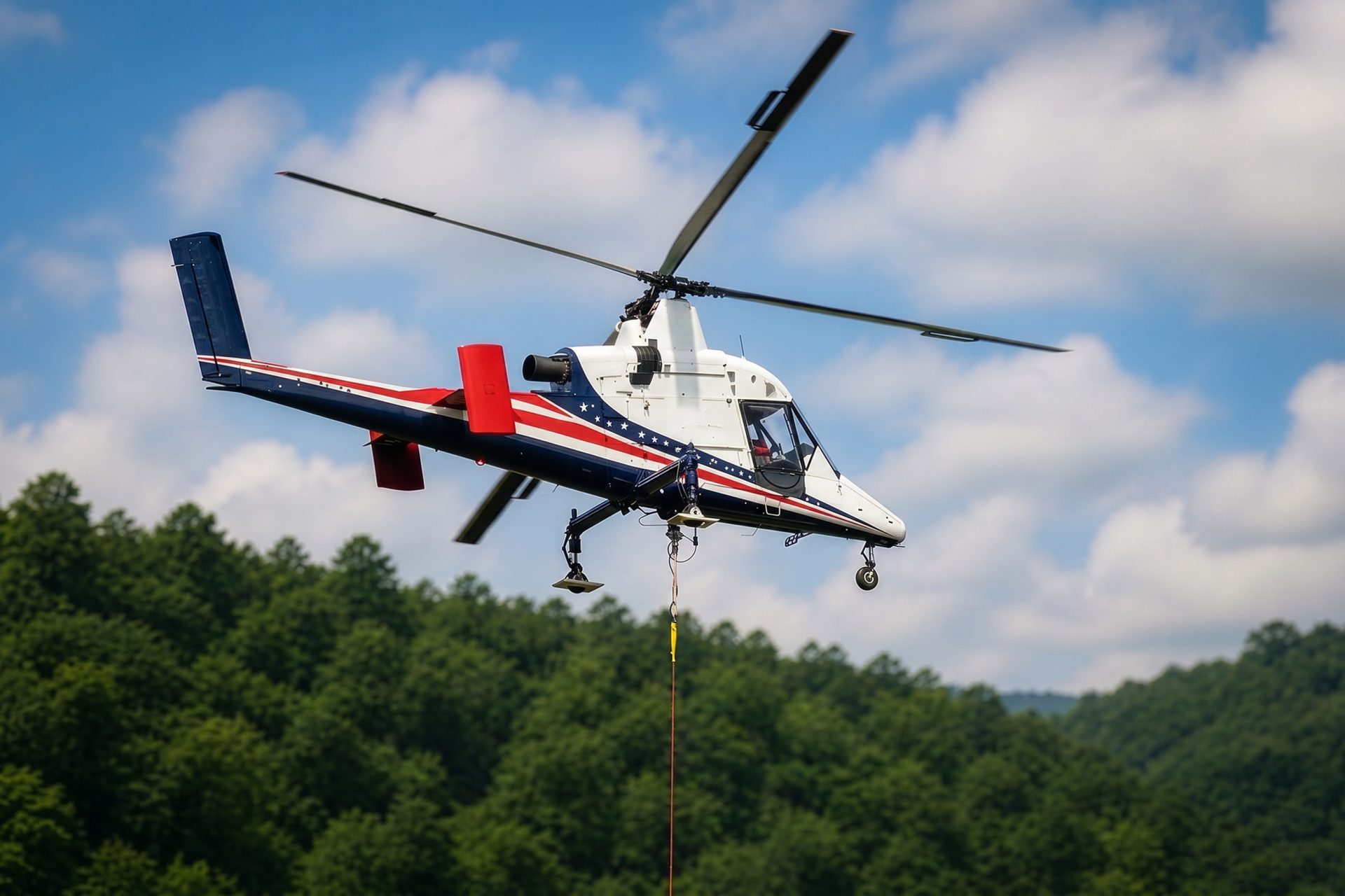
Desert sites outside the developed core shift attention toward fuel, heat exposure, communications, and reliable ground access.
The city’s semiconductor expansion record establishes major ongoing and announced construction around advanced manufacturing. Large campuses can create precise placement problems, but each component still needs verified weight, center of gravity, rigging geometry, and a controlled receiving area.
Utility construction crosses another planning boundary. Phoenix coordinates utility work and capital-project conflicts within public rights-of-way. Aerial placement can reduce some ground occupancy, but it does not remove traffic control, public separation, utility-owner clearance, or restoration duties.