
HVAC & Rooftop Units
For industrial rooftop equipment, compare the actual set position and receiving area with available crane access before choosing a lifting method.
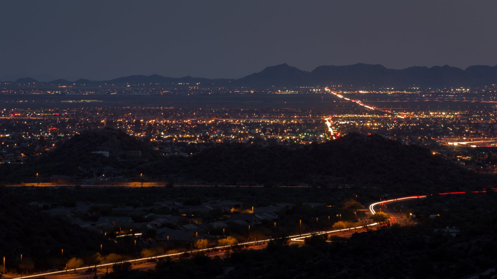
Local lift planning
Falcon Field training traffic and two airport-centered industrial districts make route selection and ground staging early planning decisions.
Photo: Z Glyph / Wikimedia Commons / CC BY 3.0. Cropped and resized. License terms.
Near Falcon Field, the FAA airport guidance places Class D airspace beneath Phoenix Class B and identifies extensive fixed-wing and helicopter training. Helicopter training occurs inside and below the north traffic pattern. A proposed external-load route needs to account for that traffic even when pickup and placement are close together.
Mesa has distinct industrial settings. The Falcon District centers on aerospace and advanced manufacturing around Falcon Field. The Gateway Area covers a 35-square-mile district anchored by Mesa Gateway Airport. Compare the actual placement with crane access and the space needed to prepare the load.
Dust can become the controlling weather problem. The NWS 2024 monsoon review records damaging microburst winds across the Phoenix metro on August 22 and an East Valley dust storm that reduced visibility to a quarter mile at times. That is a historical event, not a lift-day forecast. Set wind and visibility stop criteria before the aircraft and ground crew begin.
Summer heat also belongs in the aircraft calculation. The same NWS review documented unusually hot conditions across much of Arizona in 2024. Capacity must come from the selected aircraft's performance data at the actual site conditions, including the load and rigging weight. The density-altitude guide explains why an advertised hook limit cannot settle that calculation.
Ground restrictions need their own review. Mesa requires a Temporary Traffic Control permit for most street restrictions, with exceptions in its rules. Its pedestrian guidance addresses intermittent closures and allows staff to require a Temporary Pedestrian Access Plan. Show the affected sidewalk and staging boundary in the ground plan. Street approval does not establish aviation approval or permission to fly over people.
The site survey checklist gives the project team a place to record obstacles and the proposed receiving area. Near Falcon Field, check that survey against the FAA's warning about rising terrain northeast of the airport. The aircraft route and the ground exclusion area need to work together.
For industrial rooftop equipment, compare the actual set position and receiving area with available crane access before choosing a lifting method.

Manufacturing-site placements need a defined component weight and rigging arrangement, with room for the receiving crew to work clear of the load.

A utility-crossing concept must account for the affected road and pedestrian route as well as the utility owner's work controls.

Any tower-placement concept near Falcon Field needs a route review that accounts for airport training traffic and the surrounding airspace.
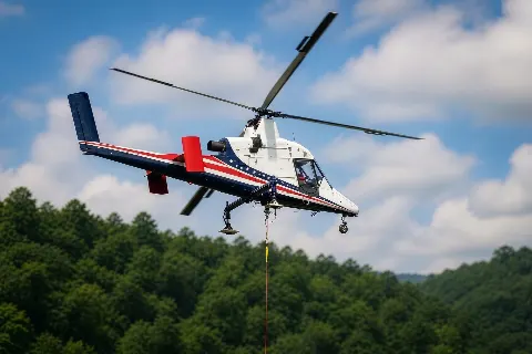
Where truck access ends short of a receiving point, establish the staging boundary and load path before treating aerial freight as feasible.
Aerospace manufacturing is part of the Falcon District's documented industrial base, with Boeing and MD Helicopters among the city's named examples. For an equipment-placement concept at an aviation facility, compare crane setup space with a controlled aerial receiving area. Record the airport property boundary and the facility's operating restrictions on the site drawing.
The city's Gateway Area profile also identifies advanced manufacturing and semiconductor supply-chain businesses, including JX Advanced Metals and FUJIFILM. A rooftop equipment replacement starts with the component's verified weight and installation position. The load-weight checklist covers the evidence needed before aircraft selection.