
Transmission Line Stringing
Canal, pump, and utility corridors create distributed work sites where access ownership and traffic control can change along one route.
Local lift planning
Joint military-civil traffic, border proximity, desert heat, and a broad irrigation network make open terrain a deceptive planning shortcut.
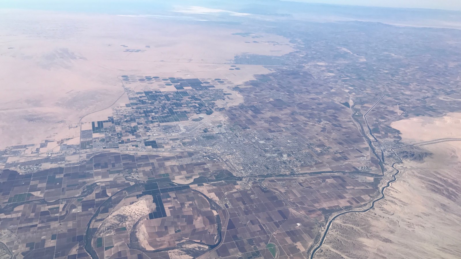
Photo: AddisWang, CC BY-SA 4.0, via Wikimedia Commons. Cropped, resized, and compressed under CC BY-SA 4.0.
Yuma MCAS/Yuma International is a joint military-civil field. The current FAA Southwest Chart Supplement lists four runways and identifies high-volume local operations, jet training, Class D service during published hours, and the Mexican border seven nautical miles west. Open desert does not remove airspace or border constraints.
Heat, dust, wind, and water can all stop work. NWS Phoenix monsoon safety guidance warns that dust storms can arrive suddenly with warning-level visibility of one-quarter mile or less and likely gusts of 40 to 60 mph. Flash floods can reach washes far from the parent storm, while excessive heat remains a primary exposure for ground crews.
Irrigation is regional industrial infrastructure in Yuma. The Bureau of Reclamation Yuma Project record covers 68,091 irrigated acres and a network with about 218 miles of laterals plus 127 miles of drains. Pumps, canals, drains, and crossings create distributed work sites where access can be more important than straight-line distance.
Yuma’s joint-use airport requires current coordination. The FAA supplement flags high-volume training and a nearby international border. Runway length does not establish an unrestricted external-load route or permission to use military or civil property.
Desert weather demands conservative stop-work criteria. The NWS monsoon safety page identifies sudden dust, downbursts, lightning, flash flooding, and extreme heat. Wind at the load, visibility, crew heat exposure, and the condition of wash crossings need independent checks.
City ground permission carries its own lead time. The Yuma encroachment permit applies to work on city property, easements, rights-of-way, or utilities. Commercial requests are project-specific and require dates, duration, plans, and traffic-control information when traffic is affected.
Canal, pump, and utility corridors create distributed work sites where access ownership and traffic control can change along one route.

Cold-storage, packaging, manufacturing, and warehouse roofs can present placements where production continuity and heat exposure control the window.
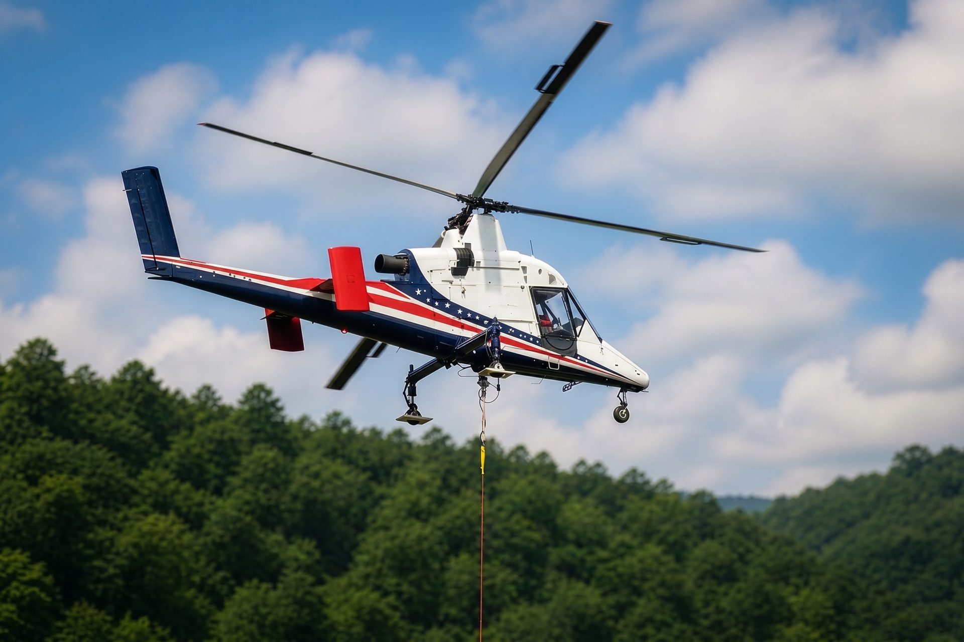
Dispersed desert infrastructure shifts attention toward fuel, communications, receiving crews, wash crossings, and border awareness.

Industrial and water-control structures can require exact placement after load weight, lifting points, and ground exclusion areas are verified.

Military traffic, border proximity, and desert visibility make current route review essential for communications or monitoring sites.
Yuma connects to regional freight movement through I-8 and SR 195. The city economic development record identifies agriculture, logistics, defense, manufacturing, cold storage, packaging, and cross-border warehousing. Those sites can present rooftop or industrial-equipment placements where heat and operating continuity govern the window.
The Yuma Project includes Laguna Dam, pumping plants, canals, laterals, and drains across a broad service area. Inspection or equipment placement along that network has to account for water operations, embankment access, land ownership, and the ability to secure a site if weather closes in.