
HVAC & Rooftop Units
Distribution, manufacturing, and institutional roofs may present equipment placements where growing road traffic limits crane occupation.
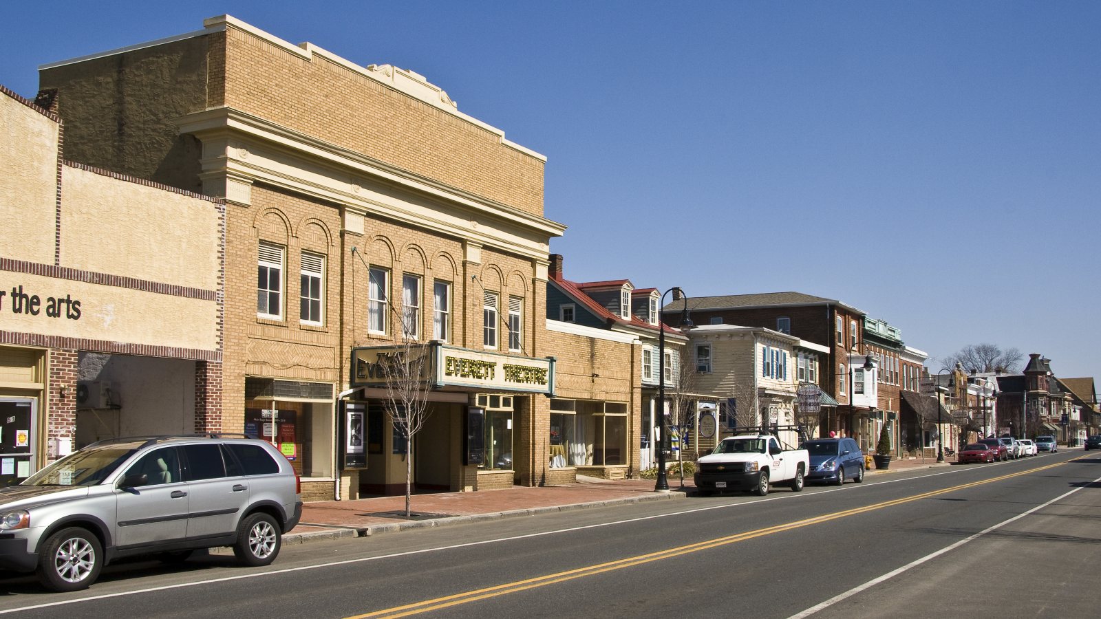
Local lift planning
Heavy-helicopter training at Summit Airport, active growth corridors, and wet ground make deconfliction and staging inseparable.
Middletown ranks fourth among Delaware incorporated places at 25,798 residents in the Census Bureau Vintage 2025 estimate. Its recent growth and position between Wilmington and Dover make regional access important, but the parcel and nearby airport traffic determine the actual lift plan.
The town 2022 Comprehensive Plan places Middletown along Route 1 and a railroad corridor in southwestern New Castle County. It describes the town as mostly built out, with infill, redevelopment, limited annexation, and two Transportation Improvement Districts shaping continued growth.
The same town plan recorded 449.4 industrial acres and 311.2 utility acres in its 2020 land-use inventory. Those date-labeled figures point to distribution, manufacturing, and utility interfaces. They do not establish current tenants or project demand.
Summit Airport is five nautical miles north of Middletown. The current FAA Northeast Chart Supplement lists a 4,488-foot asphalt runway, a turf runway, AWOS-3, and CTAF/UNICOM. It also warns of extensive medium and heavy helicopter training at all hours, including high rotor downwash velocities.
The FAA asks for UNICOM advisories when CH-47 helicopters operate at Summit. That is unusually direct local evidence that a project cannot treat nearby helicopter traffic as occasional background activity. The Part 133 overview explains the separate operating framework for civilian external loads.
Floodplains and wetlands follow the Appoquinimink River and Drawyer Creek on the Middletown plan maps. Bearing capacity, drainage, and access need parcel-level checks after rain. The NWS New Castle County page supplies current warnings and hourly conditions for the work window.
Distribution, manufacturing, and institutional roofs may present equipment placements where growing road traffic limits crane occupation.

Infill and industrial development can involve structural placements that need comparison against parcel access and Transportation Improvement District work.

Tower routes must account for sustained medium and heavy helicopter training around Summit Airport, not only fixed-wing patterns.

Town electric infrastructure and growth corridors can create pole or conductor work where wet ground, outages, and airport traffic all matter.
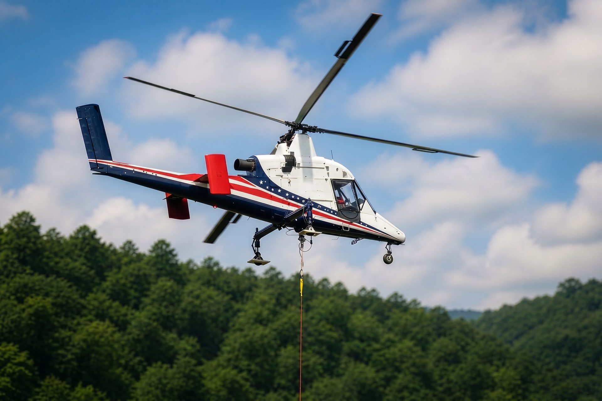
Wetlands and drainage corridors can make temporary ground access expensive. Aerial freight still requires a firm, permitted staging and receiving plan.
The 2022 comprehensive plan documents distribution facilities, a planned 280,000-square-foot industrial distribution building, and pharmaceutical manufacturing activity. The date matters because tenants and approved projects can change.
Middletown operates local electric, wastewater, water, street, and maintenance functions. Combined with two Transportation Improvement Districts, that creates property, utility, and road-project interfaces that can affect staging. The site survey checklist gives each interface a place before aircraft selection.