
HVAC & Rooftop Units
Downtown roofs can sit above occupied streets and beside active institutional buildings. The exclusion area and emergency access may set the workable window.
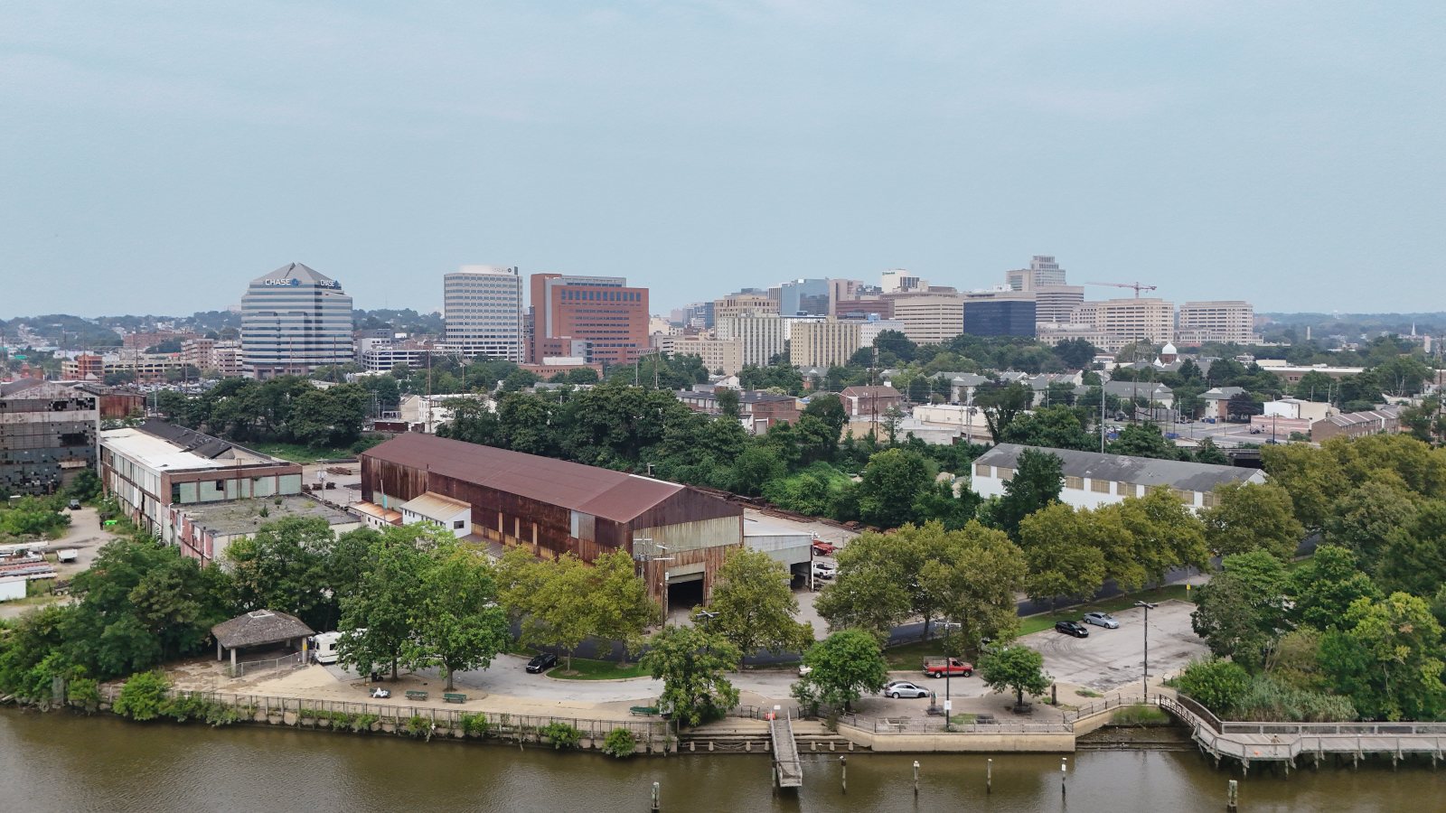
Local lift planning
A deepwater port, Class D airport traffic, tidal waterways, and constrained city streets put the route and ground footprint on equal footing.
The Census Bureau estimates Wilmington at 73,512 residents on July 1, 2025, making it the largest Delaware incorporated place in the Vintage 2025 dataset. The guide covers a compact city inside a much larger regional airspace and freight network, so population rank does not simplify site control.
New Castle Airport is four miles south of Wilmington. The current FAA Chart Supplement entry lists three paved runways, continuous attendance, on-field ASOS weather, and Class D service during tower hours. Current charts, NOTAMs, the actual external-load route, and air traffic coordination still control the operating picture.
The Port Wilmington terminal profile identifies project cargo, roll-on/roll-off freight, breakbulk, dry bulk, and container activity at a deepwater Delaware River terminal. Cranes, vessels, rail movements, bridges, and occupied industrial property can compress the usable route even when pickup and set points appear close on a map. The site survey checklist helps separate that air path from the staging footprint below.
The FAA airport entry notes birds near New Castle Airport, restricted terminal-apron access, and Class E airspace when the tower is closed. Published airport data gives a planning reference. It does not authorize airport use or an off-airport external-load operation.
The National Weather Service identifies flash flooding, lightning, hail, tornadoes, and damaging thunderstorm winds in its Delaware severe-weather guidance. Spring and summer bring the greatest severe-thunderstorm exposure, while tidal water and low ground can complicate access after heavy rain. A project window needs current forecasts and a defined stand-down point.
Heavy components arriving by road are tied to the route on the DelDOT oversize permit. Hazardous weather can suspend movement. If staging also requires excavation in a city-owned street, Wilmington requires an advance roadway-cut permit. Those ground approvals sit beside, not inside, aviation planning.
Downtown roofs can sit above occupied streets and beside active institutional buildings. The exclusion area and emergency access may set the workable window.

Port, rail, and industrial properties can involve short structural or equipment placements where ground-crane access competes with active freight movement.

Communication assets around Wilmington require current review of New Castle Airport traffic, urban obstacles, public exposure, and the intended route.

Transmission corridors cross tidal waterways and developed parcels. Aerial support can reduce temporary access work, but conductor control and airspace remain decisive.

Flooding or severe weather can isolate infrastructure while also narrowing safe aviation windows. Recovery work still requires verified access and ground control.
The Port Wilmington terminal profile publishes ten berths, four gantry cranes, and a 100-ton mobile harbor crane. That establishes a local context for project cargo and industrial handling without implying that terminal equipment or property is available for an aerial lift.
The same port profile reports direct Norfolk Southern rail service plus immediate access to I-495 and nearby interstate connections. Waterfront plants, warehouses, rail infrastructure, and older urban roofs create different access problems. The correct comparison may be an aerial placement, a conventional crane, or a changed delivery sequence.