
HVAC & Rooftop Units
Dense commercial and institutional roofs can shift the constraint from reach to street occupancy and public control.
Local lift planning
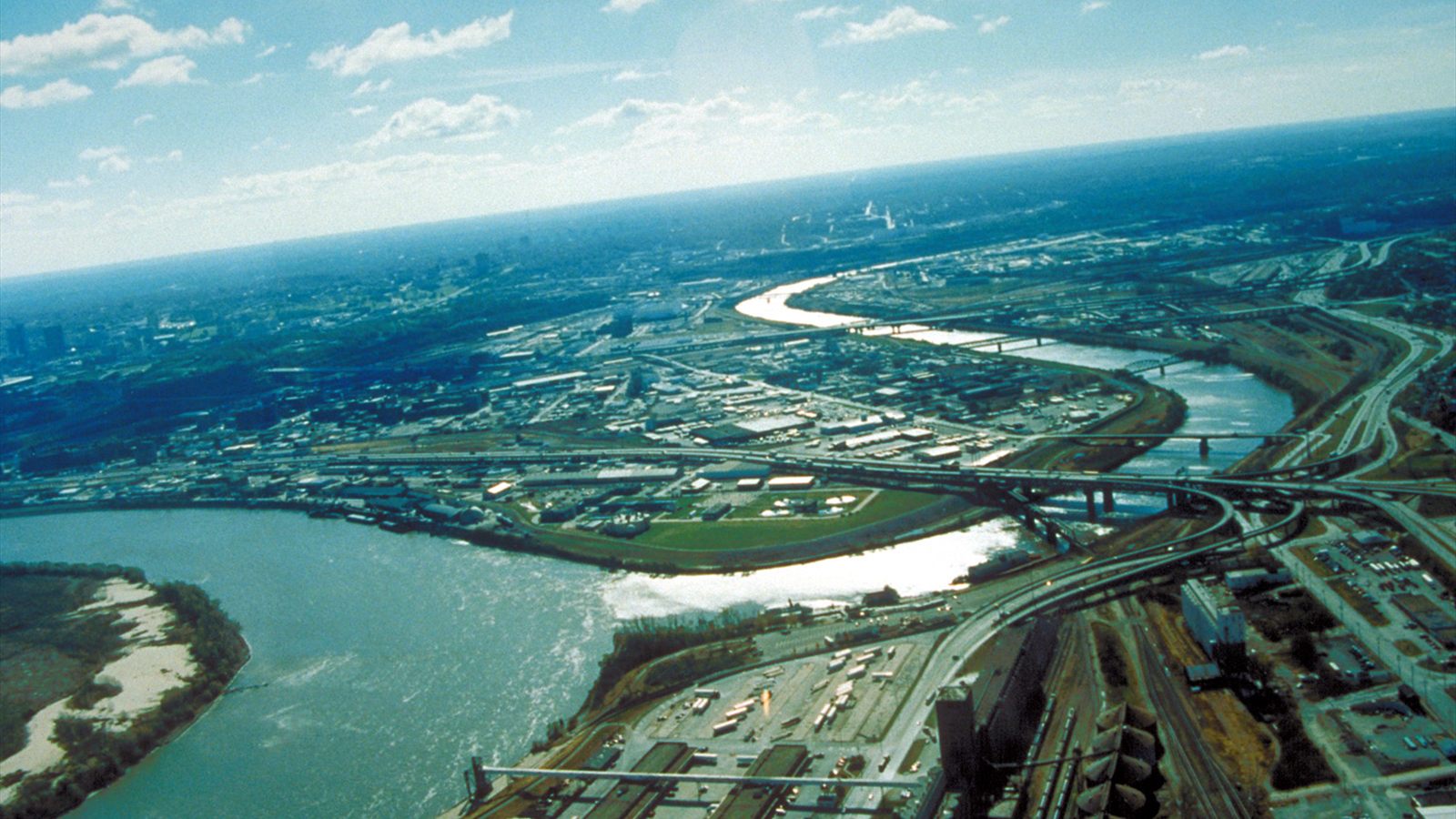
Bi-state airspace, two major rivers, and dense freight infrastructure make the route and ground footprint equally important.
Kansas City, Kansas represents the Kansas side of Kansas City, MO-KS, estimated at 2,270,682 residents in the Census Bureau Vintage 2025 estimates. The whole bi-state metro number establishes guide order. It is not the population of Kansas City, Kansas or evidence of project demand.
Central-metro route review includes Charles B. Wheeler Downtown Airport, just north of downtown Kansas City, Missouri. The FAA says helicopter transitions may be restricted east or west of Runway 01/19 according to traffic, so the state line does not divide the aviation problem.
The Unified Government defines public right-of-way as land reserved for unhindered public travel in its right-of-way responsibility guide. River bridges, levees, rail lines, streets, and public ground can narrow staging even when the receiving point is on private property.
The FAA identifies obstructions east-southeast of MKC reaching 290 feet above ground. Helicopter pilots must advise the tower of requested landing or departure locations. Current charts, NOTAMs, traffic, and the exact load path control.
The NWS Kansas City warning criteria cover severe wind, one-inch hail, flash flooding, high wind, dense fog, and blowing dust. These thresholds support explicit stand-down gates, while current observations and the aircraft operator’s limits decide the work window.
Kansas City Board of Public Utilities documents overhead and underground utility systems plus easement and ingress requirements on affected property. Utility-owner approval, property access, and aviation authority remain separate checks. The site survey checklist helps keep them separate.
Dense commercial and institutional roofs can shift the constraint from reach to street occupancy and public control.

Bridge, terminal, and industrial components require verified weights plus a direct comparison with ground-crane access.

Central-metro airport traffic and the obstruction environment require current route analysis on both sides of the state line.

River crossings, rail corridors, and BPU easements can narrow utility access before aircraft selection begins.

Right-of-way permits, property permission, utility coordination, and Part 133 authority remain distinct approvals.
The Mid-America Regional Council describes Kansas City as a major Midwest freight hub moving goods by truck, plane, and rail. Highway access can be strong while bridge clearance, interchange work, or the final industrial street still controls mobilization. The congested-area planning guide explains why public protection and the flight plan must be resolved together.
The regional council’s Connected Freight KC 2050 treats goods movement as a network extending from Lawrence to Sedalia. Active terminals require exact property control, railroad coordination, obstacle review, and a protected receiving zone.