
HVAC & Rooftop Units
Campus and institutional roofs require emergency-access protection, verified equipment weights, and controlled pedestrian areas.
Local lift planning
Military aviation, three waterways, and a joint city-county planning area demand a current route and parcel-specific access review.
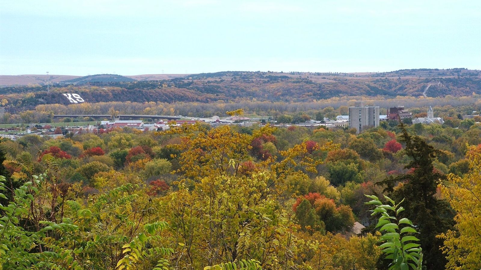
Photo: Kzollman, CC BY-SA 3.0, via Wikimedia Commons. Cropped, resized, and compressed under CC BY-SA 3.0.
The Manhattan metro had 136,122 residents in the Census Bureau Vintage 2025 estimates. Whole-metro population establishes selection, not municipal population or project demand.
The current FAA Manhattan Regional Airport entry places the field four miles southwest of the city at 1,066 feet elevation. Its 7,400-foot primary runway, ASOS, and Jet A support regional aviation, but do not establish project-site access.
The amended Manhattan Urban Area Comprehensive Plan covers about 93 square miles and includes unincorporated areas of Riley and Pottawatomie counties. Early site review must identify the jurisdiction that controls the parcel and connecting road.
The FAA airport entry warns that a military airport seven miles southwest resembles Manhattan Regional, and its communications list Marshall AAF approach. Current NOTAMs and airspace status control. The tower-construction planning guide shows why route and ground restrictions must be resolved together.
The NWS Topeka June 2022 event summary documents an EF-2 tornado in Manhattan with estimated 115 mph peak wind inside a broader 60 to 80 mph wind field. The record supports conservative stop-work criteria, not a forecast for another date.
The city’s adopted comprehensive plan incorporates flood-risk planning for the Kansas River, Big Blue River, and Wildcat Creek. Access and laydown areas need parcel-level screening because flood exposure changes across the city. The site survey checklist keeps that check ahead of aircraft selection.
Campus and institutional roofs require emergency-access protection, verified equipment weights, and controlled pedestrian areas.

Commercial or public works placements need a direct comparison with ground-crane access across the local street network.

Manhattan Regional, Marshall Army Airfield, and existing obstacles require current route review.

River crossings and floodplain corridors can make access and ground bearing the controlling utility-work questions.

Flint Hills terrain and controlled military property require exact land access and receiving-zone verification.
The Army describes Fort Riley as a 150-square-mile training installation and home of the 1st Infantry Division. Nearby military property and activity require direct coordination. Their presence does not imply project demand.
The FAA airport entry lists two paved runways, a control tower during published hours, fuel, and seasonal bird activity. Campus, institutional, and regional infrastructure projects still need exact load data plus a separate receiving-zone analysis.