
HVAC & Rooftop Units
Downtown and institutional roofs can make lane control and verified equipment weights the first planning questions.
Local lift planning
Class C airspace and a deepwater industrial corridor put live airport information and ground access ahead of straight-line reach.
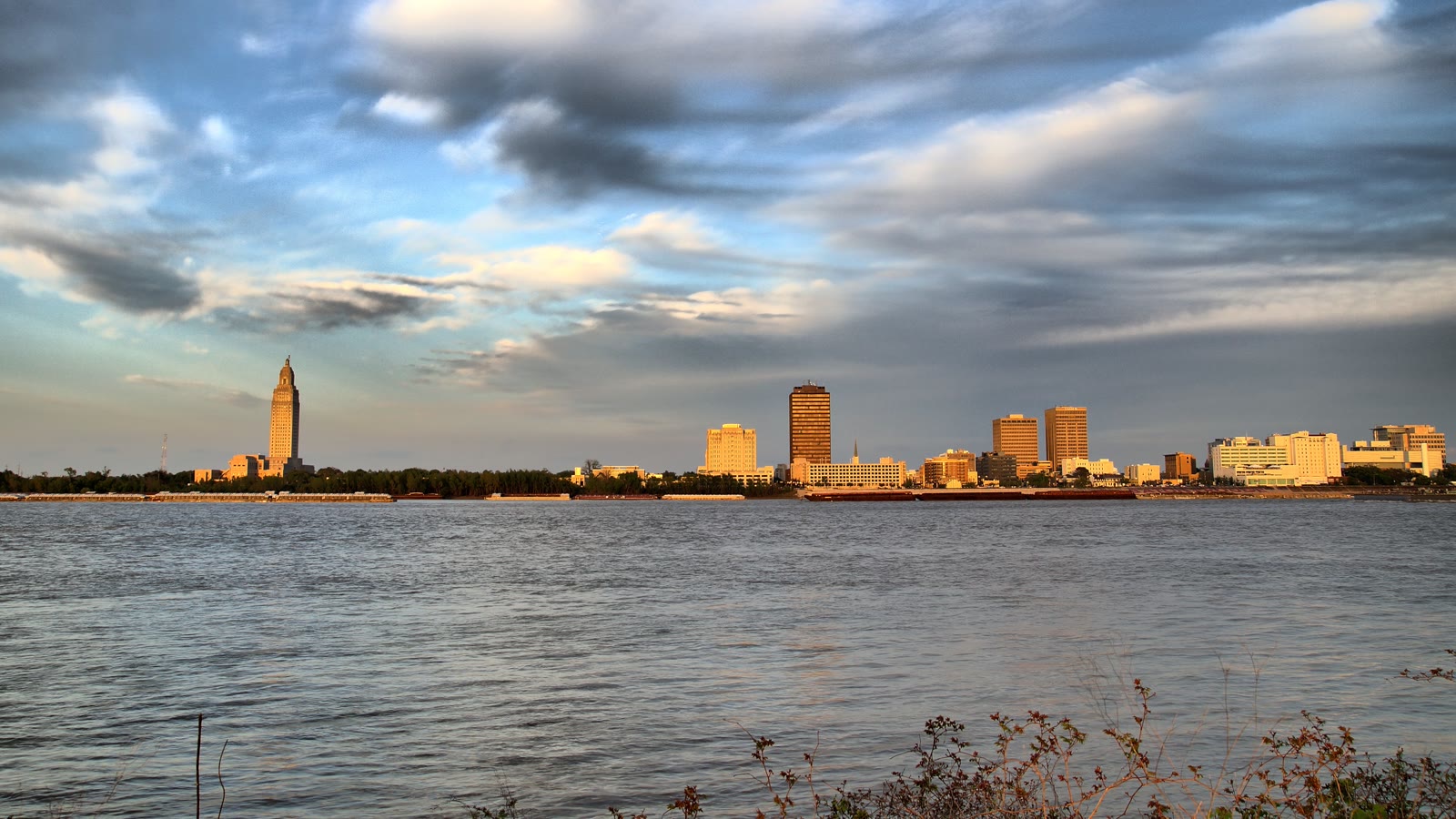
Photo: getmahesh, CC BY-SA 2.0, via Wikimedia Commons. Cropped, resized, and compressed under CC BY-SA 2.0.
Baton Rouge had an estimated 888,699 residents in the Census Bureau Vintage 2025 estimates, placing the metro second in Louisiana. The figure establishes guide selection, not project demand.
The FAA places Baton Rouge Metropolitan Airport four miles north of downtown in Class C airspace. Commercial traffic shares the environment with local and transient general aviation, air taxi, and military operations. Current charts and NOTAMs remain necessary.
The Port of Greater Baton Rouge links deepwater docks with truck, rail, and barge access near I-10 and LA 1. That network supports industrial receiving plans, but final routing and site permission remain location-specific. The site survey checklist records those boundaries before aircraft comparison begins.
The FAA BTR briefing identifies a complex taxiway intersection west of the active runways. Closed Runway 4R/22L remains shown on the airport diagram, and construction is ongoing. Static airport familiarity cannot replace the current NOTAM package.
Baton Rouge 1991-2020 climate normals show 61.94 inches of annual precipitation. Normal highs reach 90.5 degrees in June, 91.9 in July, and 92.2 in August. Project-day wind, visibility, surface condition, and aircraft performance determine whether a window works.
A City-Parish construction permit is required for road or lane closures associated with work, including deliveries. Requests should arrive at least seven days before the closure, and signing must follow MUTCD requirements. Traffic permission does not grant control of airspace or private property.
Downtown and institutional roofs can make lane control and verified equipment weights the first planning questions.

Port docks and industrial corridors require exact load data plus a realistic final-mile access comparison.

Class C airspace, mixed BTR traffic, and airport construction require current route and obstacle review.

Highway access, public right-of-way, and utility ownership create separate ground-control tracks.

Port access, city road permits, property control, and aviation authority must be confirmed independently.
The port’s Deepwater Complex publishes 3,000 feet of deepwater docks with truck, rail, barge, and deepwater access. I-10 and LA 1 are the identified highway connections.
The Inland Rivers Marine Terminal has a 300-foot concrete bulkhead plus truck, rail, and barge access near the Gulf Intracoastal Waterway. These are regional access facts, not confirmation that a receiving area is open or suitable.