
HVAC & Rooftop Units
Urban rooftop work can put street occupancy, heat, and short weather windows at the center of the plan.
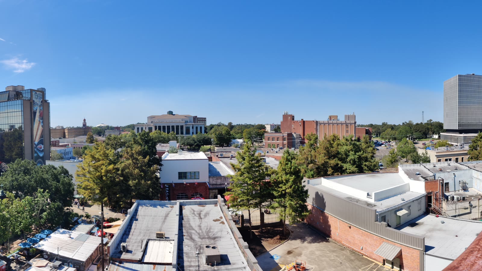
Local lift planning
An I-10 and I-49 transport hub meets wet ground, summer heat, and a Class C airport with published obstacle cautions.
Lafayette had an estimated 423,758 residents in the Census Bureau Vintage 2025 estimates, ranking the metro third in Louisiana. The whole-metro count selects the guide. It is not a city population or a measure of lift demand.
The current FAA Chart Supplement entry for Lafayette Regional places LFT two miles southeast of the city. Its primary Runway 04R/22L is 8,000 by 150 feet, and the field has published Class C service hours. Current NOTAMs, airport coordination, and route review still control.
Lafayette sits at the I-10 and I-49 junction, with two airports and service from three rail carriers identified by the local economic development authority. Regional access does not solve final-site control. The load verification sheet keeps aircraft comparison tied to verified component data.
NWS 1991-2020 July normals for Lafayette show an average high of 91.5 degrees and 6.27 inches of rain. July averages 14 days with measurable precipitation and two days with at least one inch. Heat, wet ground, and convective interruptions need explicit planning margins.
The FAA notes migratory birds and a 155-foot oil rig southeast of LFT. Tower blind spots affect Taxiway M and the north parking ramp, while Runway 04L/22R has a published nightly closure. These are planning flags, not a substitute for current NOTAMs.
Local floodplain rules require Development and Planning permits for development in the city and unincorporated parish. Floodway encroachment needs a Certificate of No-Rise. A construction lane or road closure is a separate Traffic Engineering permit item.
Urban rooftop work can put street occupancy, heat, and short weather windows at the center of the plan.

Industrial placements require exact component data and final-site access analysis beyond the regional highway network.

Airport obstacles, tower blind spots, and public access controls need separate review before route selection.

Floodplain storage, roadway interfaces, and utility ownership should be checked before corridor work is staged.

Rigging, flight path, airport coordination, and ground permission remain separate parts of the project record.
The regional infrastructure inventory identifies Lafayette Regional and Acadiana Regional airports plus L&D Railroad, BNSF, and Union Pacific. Those connections frame mobilization options without establishing access to a worksite.
The same inventory places Port of Vermilion about 15 miles south and Port of Iberia about 20 miles south. Those are published approximate distances. Cargo routing, receiving-zone control, and site availability still need direct confirmation.