
HVAC & Rooftop Units
Manufacturing roofs may contain large process equipment. Exact load data and a closure plan must preserve emergency access.
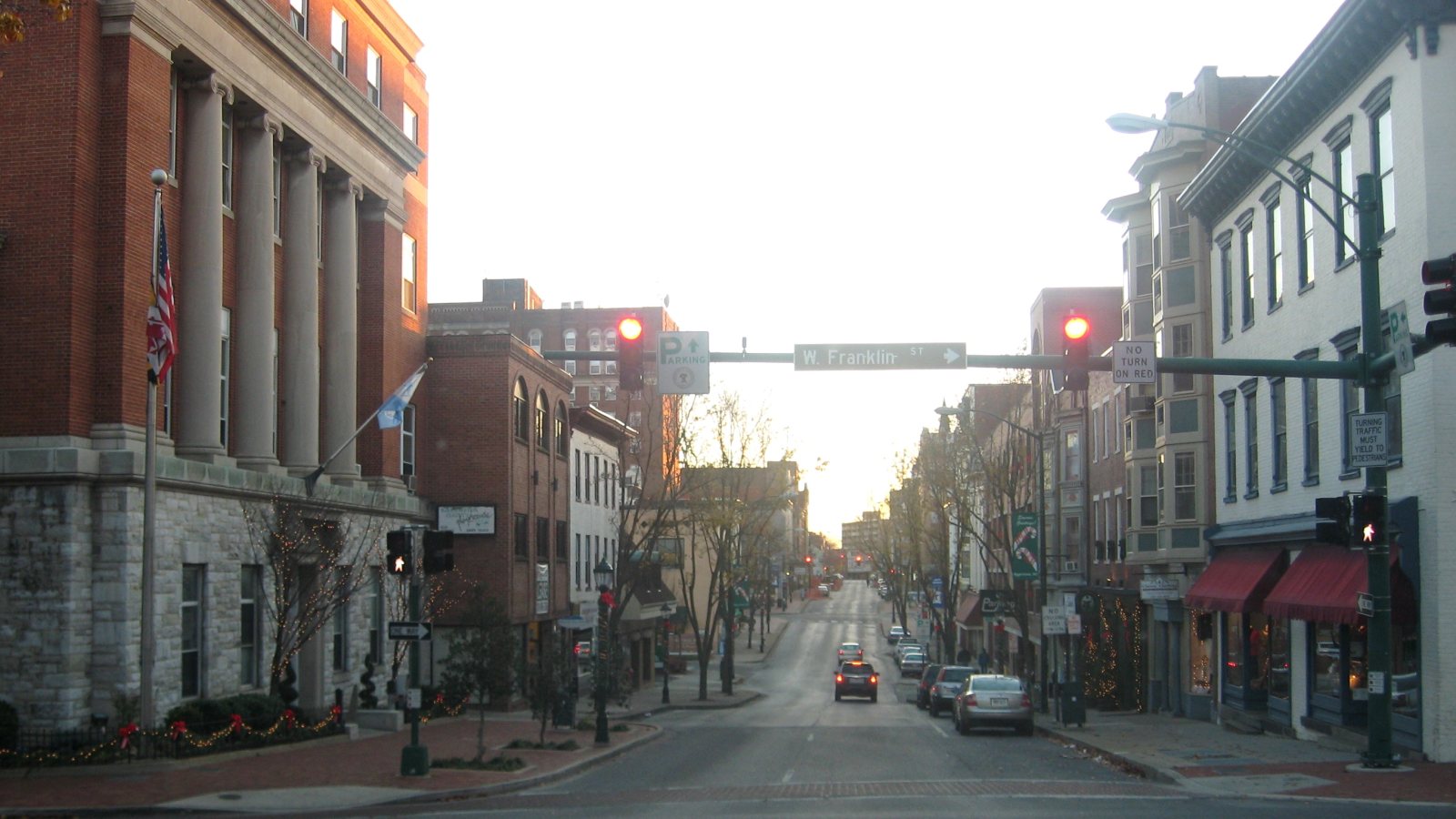
Local lift planning
Part-time controlled airspace, two interstate corridors, and nearby military and ultralight traffic make timing a route constraint.
Photo: Vpuliva, public domain, via Wikimedia Commons. Cropped, resized, and compressed.
Census Vintage 2025 estimates the cross-state Hagerstown-Martinsburg metropolitan area at 315,280 residents. Hagerstown is the Maryland anchor. The figure includes West Virginia and establishes selection rather than city population or project demand.
The FAA lists Hagerstown Regional Airport with a 7,000-by-150-foot primary runway, weather reporting, and part-time Class D airspace. Runway 02/20 closes when the tower is closed. Current tower status, NOTAMs, traffic, permission, and aircraft fit require direct confirmation.
Washington County places Hagerstown at I-70 and I-81 with CSX and Norfolk Southern rail service. The county also identifies the Port of Baltimore about 70 miles east. Those links support freight activity and put projects near active road, rail, and airport corridors.
FAA remarks identify bird activity, nearby ultralights, and low-level military aircraft around HGR. Tower schedules and runway availability add further limits. A current airport and route review is mandatory before treating a nearby site as usable.
NWS winter and wind products cover freezing rain, snow, ice, and damaging wind. Forecasts and observations need to be paired with surface bearing, visibility, icing risk, loose material, and aircraft limits for the actual work window.
Hagerstown’s right-of-way closure application covers travel lanes, parking lanes, sidewalks, and alleys. It asks whether emergency access will remain open and notes that a traffic-control plan may be required. The intake checklist records those ground constraints beside the load data.
Manufacturing roofs may contain large process equipment. Exact load data and a closure plan must preserve emergency access.

Metal fabrication and truck-component facilities can present structural or plant-equipment placements where final access controls the comparison.

Routes near HGR must account for tower hours, Class D airspace, low-level military activity, and nearby ultralights.

Utility work near I-70, I-81, and rail corridors must keep highway and rail access outside the controlled work area.

Airport status, city closure approval, property control, and Part 133 planning remain separate gates.
Washington County identifies truck engines and transmissions, metal fabrication, plastics, analytical equipment, and precision-tool manufacturing. Plant roofs and process areas can carry strict shutdown, access, and receiving-zone requirements.
The county’s interstate, rail, airport, and port connections support transportation and logistics work. Staging and exclusion areas still have to stay clear of current freight movement and emergency routes.