
Steel & Infrastructure
Port structures and offshore-wind support work need exact geometry, certified weight, and a controlled waterfront receiving zone.
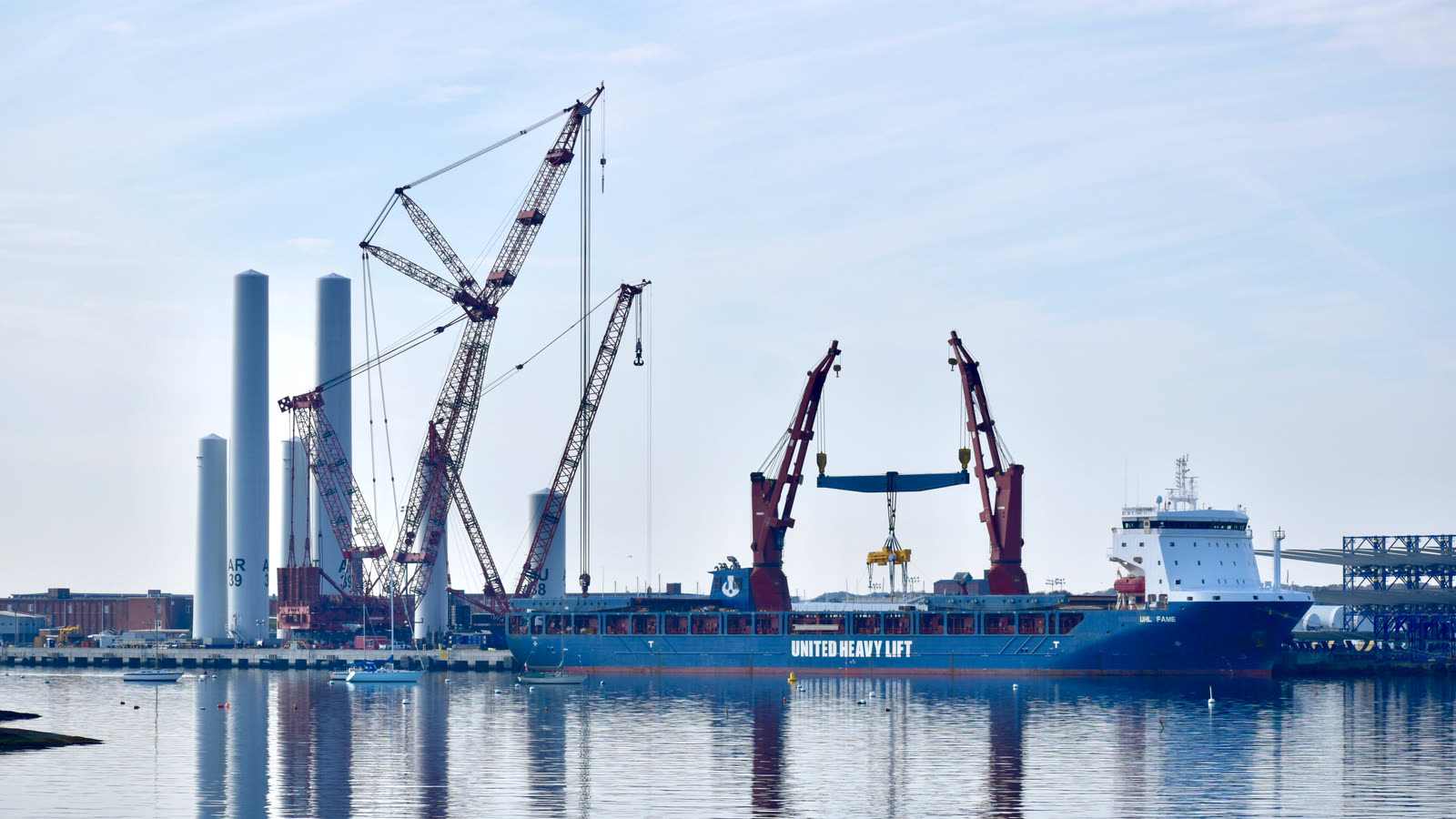
Local lift planning
A protected working harbor, heavy-load terminal, and coastal weather put marine traffic and access on the same schedule.
Photo: Wosketomp, CC BY-SA 4.0, via Wikimedia Commons. Cropped, resized, and compressed under CC BY-SA 4.0.
Census Vintage 2025 estimates the Providence-Warwick metropolitan area at 1,708,161 residents. New Bedford’s 2025 place estimate of 101,834 makes it the largest Massachusetts anchor, ahead of Fall River at 95,298. The whole-metro count sets guide order, not local project demand.
Massachusetts identifies the New Bedford-Fairhaven working waterfront with commercial fishing, fish processing, bulk and breakbulk cargo, barge traffic, and offshore-wind activity. The state reports more than $230 million in bulk-commodity and breakbulk shipping. Current tenant and vessel operations remain site-specific.
A MassDOT study describes the 29-acre Marine Commerce Terminal with 21 acres of heavy-load capacity and 1,200 feet of bulkhead. Route 18, Route 140, and I-195 provide regional connections, but every proposed delivery still needs a current final-road and site-access review.
The current FAA Chart Supplement places New Bedford Regional Airport two miles northwest of the city at 79 feet elevation. It lists 5,400-by-150-foot and 5,002-by-75-foot runways, birds and wildlife, and scheduled Class D service. Current NOTAMs, tower status, permission, and aircraft fit govern actual use.
NWS Boston defines a coastal flood warning as widespread serious flooding that may close vulnerable roads, isolate neighborhoods, or threaten waterfront infrastructure. Current coastal products, wind, fog, surge, and marine conditions belong in the work-window check.
The state’s port assessment identifies active fishing, processing, cargo, and offshore-wind uses in the same harbor. Heavy-load pavement and deep-water berthing do not constitute permission for helicopter activity. Port control, affected tenants, ground access, and the protected area below the route require current agreement.
Port structures and offshore-wind support work need exact geometry, certified weight, and a controlled waterfront receiving zone.

New Bedford Regional traffic, port permission, tenant activity, and the intended load path remain separate gates.

Industrial and waterfront roofs can put verified equipment weight and occupied-site controls ahead of straight-line reach.

Coastal wind, airport traffic, and the harbor obstacle environment require a fresh route and weather review.

Road, port, utility, tenant, and private-property boundaries can place several authorities along one alignment.
Commercial fishing, seafood processing, marine construction, and cargo handling remain core New Bedford waterfront uses. Any aerial comparison must account for current vessels, crews, public roads, cranes, and the continuity of the working port.
Offshore wind has added large-component marshalling beside deep-water berths. The Marine Commerce Terminal’s heavy-load area provides industrial context, not a load certificate for a specific move. The load verification sheet keeps certified weight separate from facility ratings.