
External Load Operations
Port structures and industrial congestion can restrict conventional access, while airport and property authority remain separate planning gates.
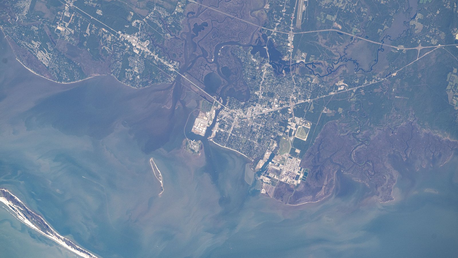
Local lift planning
Port traffic and coastal flood exposure put access control and weather contingencies ahead of the lift window.
The 2020 Census lists the Pascagoula-Gautier urban area at 51,454 residents. It ranks fifth among urban areas containing Mississippi territory. Pascagoula anchors the guide as a named principal city. The count sets guide order and does not measure project demand.
The current FAA diagram for Trent Lott International Airport shows Runway 17-35 at 6,501 by 150 feet and a field elevation of 17 feet. The diagram establishes airport context. It does not confirm helicopter staging, parking, fuel arrangements, payload suitability, or permission for a particular operation.
Mississippi DOT reports that Port Pascagoula connects with U.S. 90 and Interstate 10 by state routes, with CSX and Mississippi Export Railroad connections. A lift plan should map truck arrival, laydown space, and the controlled work area separately from the flight route.
The National Weather Service reports that storm surge and prolonged coastal precipitation can produce flooding near shore and farther inland. Pascagoula planning needs a weather cancellation threshold plus a route for moving ground equipment to higher ground. Historical impacts do not predict conditions on a particular date.
Pascagoula’s Engineering Department reviews private development plans and inspects drainage, stormwater quality, and right-of-way construction activity. Occupying a street or altering a staging surface can create a municipal review path distinct from aviation approvals and property permission.
The city’s Unified Development Ordinance reserves industrial land for port, manufacturing, and storage uses while protecting surrounding districts from incompatible impacts. Industrial zoning is not blanket permission for flight, rigging, traffic control, or temporary occupation of adjacent property.
Port structures and industrial congestion can restrict conventional access, while airport and property authority remain separate planning gates.

Shipyard and industrial components require certified weight, dimensions, attachment points, and a controlled receiving area.

Occupied facilities and coastal weather can make receiving-space control as important as the equipment path.

Coastal utility corridors need route, crossing, flood-access, and ground-control review across each jurisdiction.

Limited laydown space does not remove airport traffic, obstacle, wind, or public-exposure constraints.
MDOT describes Port Pascagoula as Mississippi’s largest port and lists general-cargo docks, warehouse space, open staging areas, and a roll-on-roll-off ramp. Project steel and industrial cargo make load verification relevant. The port profile does not establish that an aircraft is appropriate for a particular load.
The city’s industrial zoning supports shipyard, refinery, and related activity. Structural steel handling and equipment replacement are credible local comparison cases. Certified weight, dimensions, attachment points, and the site survey checklist still come before any method decision.