
Steel & Infrastructure
The regional freight plan identifies refinery equipment and energy components in the local goods network. Certified weight and a controlled placement area come first.
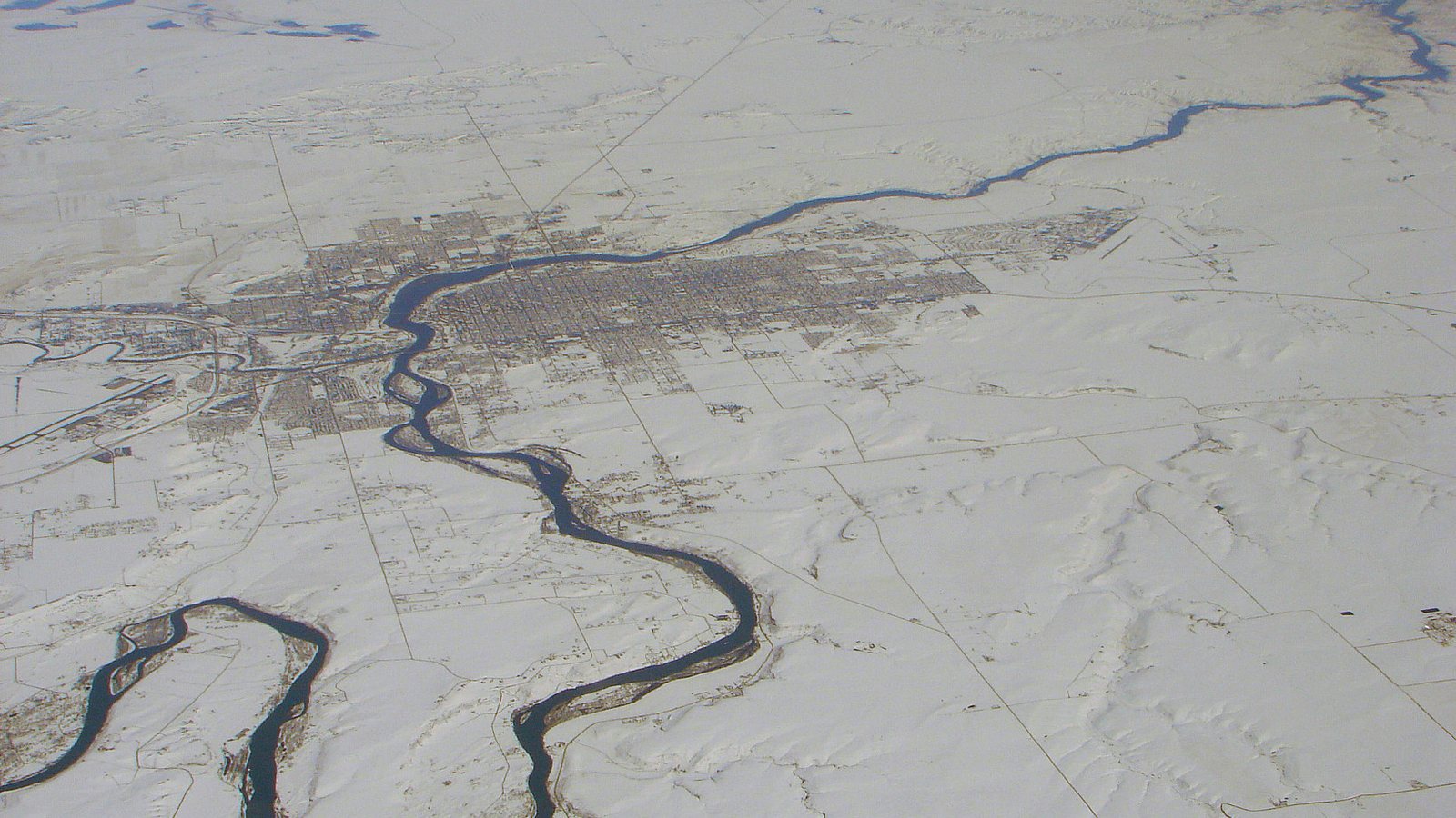
Local lift planning
Persistent wind, controlled airspace, and freight corridors make a protected route and receiving zone essential.
Photo: P199, CC BY-SA 3.0, via Wikimedia Commons. Cropped, resized, and compressed under CC BY-SA 3.0.
Census Vintage 2025 estimates the Great Falls metropolitan area at 85,029 residents. It ranks fifth among Montana’s five metropolitan areas, so no urban-area fallback is needed. The count covers the whole metro.
The FAA places Great Falls International Airport three nautical miles southwest of the city at 3,680 feet elevation. Runway 03-21 is 10,502 by 150 feet, the airport is attended continuously, and it operates within Class D airspace with TRSA service. Those facilities establish context rather than aircraft availability or staging permission.
The Airport Authority says utilities and taxiway infrastructure extend to a 20-acre aviation park. The City transportation plan separately identifies 10th Avenue South as a truck and military-convoy route. Ground staging should follow the actual industrial parcel, approved truck routes, and current traffic controls.
A National Weather Service technical memorandum describes Great Falls as a notably windy location east of the Continental Divide. Its historical study found southwesterly winds in about 51 percent of hourly observations and an annual mean near 14 mph. These figures are a planning signal rather than an operating forecast.
The FAA notes birds on and near GTF, Class D airspace, and TRSA service. Airport access does not approve an off-airport route. Current airspace coordination, temporary flight restrictions, obstacles, and control of the receiving site remain separate checks.
Great Falls requires a public right-of-way permit when work uses a city right-of-way or easement. The standard includes equipment operations, material storage, and crane work that may create a hazard. Insurance and bonding requirements apply before permit issuance.
The regional freight plan identifies refinery equipment and energy components in the local goods network. Certified weight and a controlled placement area come first.

Wind exposure and controlled airspace make flight-path review central to tower work near Great Falls.

Regional energy activity makes conductor and structure access a relevant topic, subject to corridor-specific authority and clearance control.

Aircraft fit, load class, rigging, weather limits, and receiving-zone control should be resolved before a work window is fixed.
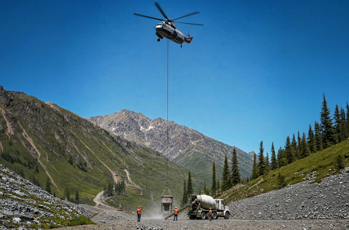
Remote industrial and natural-resource sites can justify comparing aerial access with road improvement and ground handling.
The 2024 long-range transportation plan says production and transportation, plus natural resources and construction, account for about 21 percent of area employment. It identifies refinery equipment, grain, aerospace parts, and wind-energy components among goods moving through the network.
That industrial mix creates planning contexts for steel placement, utility work, and difficult freight access. It does not prove that aerial lifting is appropriate for a particular job. The load verification sheet keeps certified weight, rigging allowance, and attachment details ahead of the method decision.