
HVAC & Rooftop Units
Temporary equipment staging in public right-of-way requires City review. Roof capacity, unit weight, and pedestrian control remain site-specific.
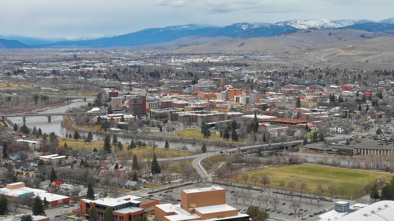
Local lift planning
A mountain valley, seasonal smoke, and controlled airport traffic make visibility and route geometry central to the plan.
Census Vintage 2025 estimates the Missoula metropolitan area at 128,698 residents. It ranks third among Montana’s five metropolitan areas, 42 residents behind Bozeman in this estimate series. The figure covers the whole metro.
The FAA lists Missoula Montana Airport four nautical miles northwest of the city reference at 3,206 feet elevation. Runway 12-30 is 9,501 by 150 feet. Class D airspace applies during published tower hours and reverts to Class E at other times. Current charts, NOTAMs, coordinates, and air traffic coordination remain date-specific inputs.
Missoula requires a right-of-way use permit for temporary or semi-permanent occupation of public right-of-way. The City includes equipment, sidewalk closures, and standalone traffic control among temporary uses. The site survey checklist keeps that surface review separate from aviation planning.
The FAA identifies MSO as a cold-temperature airport requiring altitude correction at or below minus 11 degrees Celsius. It also reports year-round bird activity and marks Runway 08-26 permanently closed. Those conditions describe the airport rather than a remote lift site, but they belong in airport-area planning.
National Weather Service smoke climatology includes Missoula charts for hours of visibility restricted to nine, six, and three statute miles or less during May through September. The baseline is historical through 2017 with 2018 shown separately. Current observations and forecasts control the actual work window.
The airport master-plan process studies projected aeronautical and non-aeronautical demand over 20 years, including runway and southside general-aviation development. Listed deliverables remain drafts until Airport Authority and FAA review and acceptance, so future concepts must not be treated as current facilities.
Temporary equipment staging in public right-of-way requires City review. Roof capacity, unit weight, and pedestrian control remain site-specific.

Cold-temperature procedures, smoke visibility, current NOTAMs, and control below the route remain separate planning gates.

Rail-served industrial sites can reduce road distance without resolving component weight, attachment points, or receiving geometry.

Airport traffic, published airspace hours, terrain, and smoke require current coordinates plus a protected ground footprint.

Work near highway, rail, or sewer corridors needs utility-owner coordination and separate permission for each affected right-of-way.
Missoula County identifies the Wye as an industrial growth area near Interstate 90, U.S. 93, the airport, rail, and sewer service. Regional connections do not establish access or staging permission at a particular parcel.
The County describes the Bonner Mill district as an industrial site using existing rail service and large buildings from the former mill. That creates a grounded context for structural work, while the load verification sheet keeps certified weight and attachment details ahead of method selection.