
HVAC & Rooftop Units
Commercial roofs along mixed-use corridors require certified load data and a receiving zone separated from public movement.
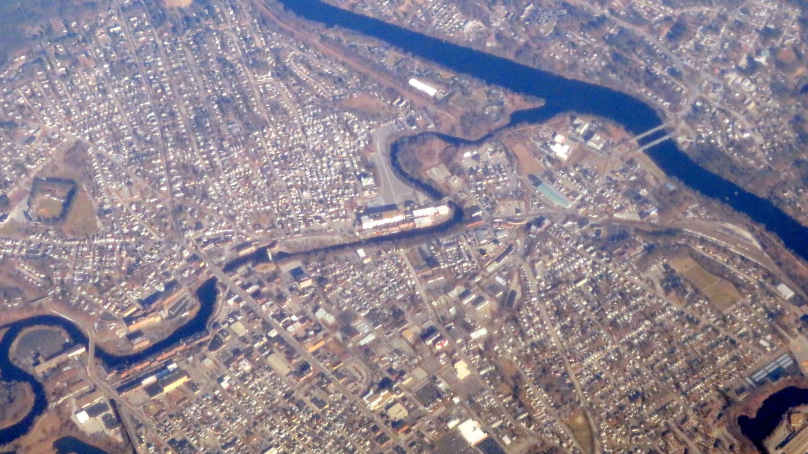
Local lift planning
Boire Field traffic, river crossings, and mixed-use corridors put access and public separation on the first planning sheet.
The 2020 Census counted 242,984 residents in the cross-state Nashua, New Hampshire-Massachusetts urban area. That whole-area count establishes guide order, not city population or project demand.
The current Boire Field airport diagram shows a 6,000-by-100-foot paved runway, tower frequencies, and a 200-foot field elevation. Those published dimensions do not establish external-load access, operator availability, or aircraft fit.
Nashua requires a street-opening permit for disturbance in existing right-of-way. Temporary narrowing or closure of a walkway or street requires a permit to encumber. Overhead utility work is one listed example.
The city’s 2024 hazard mitigation plan identifies floodplain exposure on parts of Daniel Webster Highway, Spit Brook Road, West Hollis Street, and Concord Street. The actual support route needs a current access check rather than a citywide assumption.
NWS Gray’s warning criteria cover snow, mixed precipitation, strong wind, and flooding. Preliminary sequencing should include holds for surface icing and snow clearance. Current observations and operation-specific limits decide the usable window.
The Imagine Nashua plan addresses redevelopment along major transportation corridors where business access mixes with homes and non-driver movement. A protected ground area must account for pedestrians and adjoining parcels along the entire proposed load path.
Commercial roofs along mixed-use corridors require certified load data and a receiving zone separated from public movement.

Redevelopment sites can present structural placements where narrow approaches and occupied parcels control the method comparison.

Boire Field traffic, river geometry, rigging, and public separation need one route-specific planning record.

Communication sites near developed corridors add aviation traffic and winter access to the route study.

River and brook crossings require owner control, conductor management, and verified access on both sides.
The Imagine Nashua master plan treats changing land use and traffic patterns along major corridors as a central planning issue. Rooftop mechanical or structural placements there begin with parcel access and occupied-area controls.
River crossings and developed utility corridors can restrict support-equipment access. The transmission-line guide explains why conductor control and energized clearances remain separate from the access comparison.