
HVAC & Rooftop Units
Dense commercial and institutional roofs can make street occupancy and crane reach the central comparison. Public exposure below the route and nearby controlled airspace set the operating case.
Local lift planning
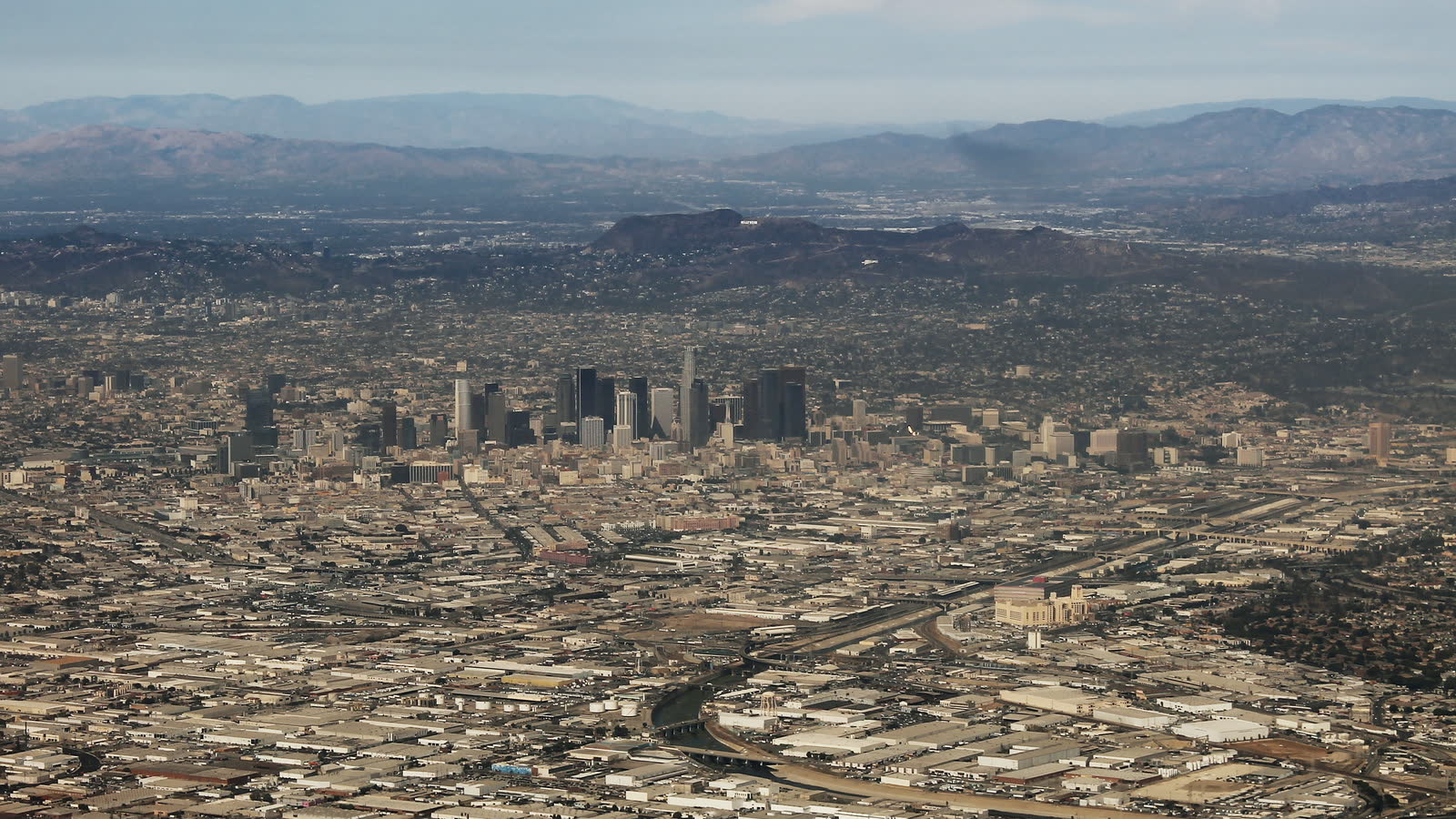
A dense airport system, mountain-bounded basin, port complex, and crowded streets leave little room for assumptions about route or ground control.
Los Angeles is too large and topographically varied for one citywide operating assumption. The National Weather Service zone analysis separates the coast, valleys, and mountain areas because they face materially different wind and fire-weather patterns. The western San Fernando Valley is more exposed to Santa Ana wind and fire hazards than the eastern valley. A lift plan has to start with the exact site, route, and forecast zone.
Van Nuys Airport provides useful local aviation context without guaranteeing a staging base. The current FAA Southwest Chart Supplement lists an 8,001-by-150-foot primary runway, Jet A, a dedicated helicopter tower frequency, and published helicopter approach and departure routing. The same entry identifies strict noise procedures. Airport access, parking, fuel volume, aircraft acceptance, and current NOTAMs still require direct confirmation.
Dense roofs, rail yards, transmission corridors, port terminals, and steep hillside sites create very different lift questions inside the same metro. The congested-area planning guide explains why public exposure below the route can be the controlling issue. A short flight does not simplify the job if the approach path, exclusion area, or load delivery route crosses an active neighborhood or facility.
Wind and fire exposure change across the basin and surrounding terrain. The NWS Los Angeles/Oxnard analysis distinguishes valley Santa Ana exposure from mountain hazards that include high wind, snow, thunderstorms, flash floods, and debris flows. The schedule needs current wind, visibility, fire-weather, and temporary-flight-restriction checks, not a broad claim that mornings or one season are always workable.
Ground delivery can be as restrictive as the flight. The City’s overload permit portal requires the origin, destination, and complete route for one-trip and 30-day applications. Loads above 125 tons require a Heavy Haul Record. The crane, aircraft, rigging, support vehicles, and load should not be committed before the legal route and staging surface are understood.
Van Nuys is identified by the FAA as an extreme noise-sensitive area with curfew and repetitive-operation limits, runway-specific turn restrictions, and tower-directed helicopter routing. The current airport entry is planning evidence, not permission. A proposed operation needs current airport coordination and a route that can meet both airspace and community-noise constraints.
Dense commercial and institutional roofs can make street occupancy and crane reach the central comparison. Public exposure below the route and nearby controlled airspace set the operating case.

Port, rail, industrial, and urban structures can create short placements across active facilities. The closure and exclusion plan may be more difficult than the pick itself.

Broadcast and communications sites sit across valley floors and surrounding hills. Noise routes, wildfire conditions, obstacles, and staging access change block by block.

Transmission corridors cross dense neighborhoods and rugged fire-recovery terrain. Aerial access can reduce ground disturbance only when the accepted route and work zone support it.

Wildfire, debris flow, and wind damage can break normal access. Recovery lifts still require incident coordination, verified loads, controlled ground zones, and current temporary-flight-restriction review.
The Port of Los Angeles facts profile lists 25 cargo terminals, 85 ship-to-shore container cranes, and 122 miles of rail including on-dock yards and a classification yard. That is a dense operating system. Component placement near it must account for terminal activity, rail clearances, vessel operations, roadway movements, and the people below the route.
Utility work offers a documented local example. A LADWP transmission project notice covers work at 54 existing towers, conversion of a 138-kV circuit to two 230-kV circuits, and helicopter delivery from existing helipad areas to reduce ground disturbance. It demonstrates why tower access, right-of-way impacts, and accepted staging points belong in the method comparison.