Bakersfield
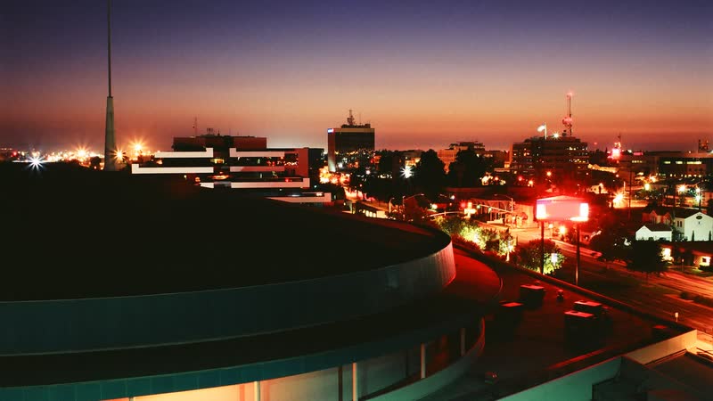
Southern San Joaquin Valley heat, winter fog, controlled airport hours, and freight-heavy corridors make the usable lift window a joint aviation and ground-access problem.
State field guide
California combines crowded coastal airspace, mountain corridors, inland heat, major ports, and dense urban construction. The practical constraints change sharply from one metro to the next, so statewide assumptions are a poor substitute for current charts, site measurements, and local access rules.
Southern San Joaquin Valley heat, winter fog, controlled airport hours, and freight-heavy corridors make the usable lift window a joint aviation and ground-access problem.

Triple-digit heat, winter Tule fog, joint civil-military airport activity, and a sprawling water network make seasonal timing as important as load weight.
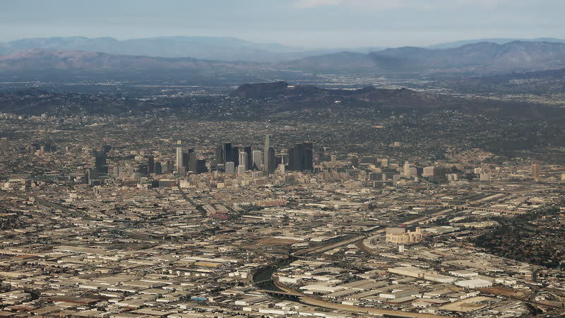
A dense airport system, mountain-bounded basin, port complex, and crowded streets leave little room for assumptions about route or ground control.

Coastal fog, a noise-sensitive airport, working port terminals, and cold-chain facilities put visibility and ground control on equal footing.
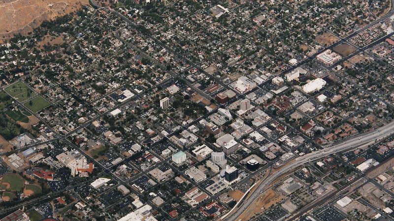
Inland heat, broken foothill terrain, wildfire exposure, and a working municipal airport push aircraft performance and access to the front of the plan.
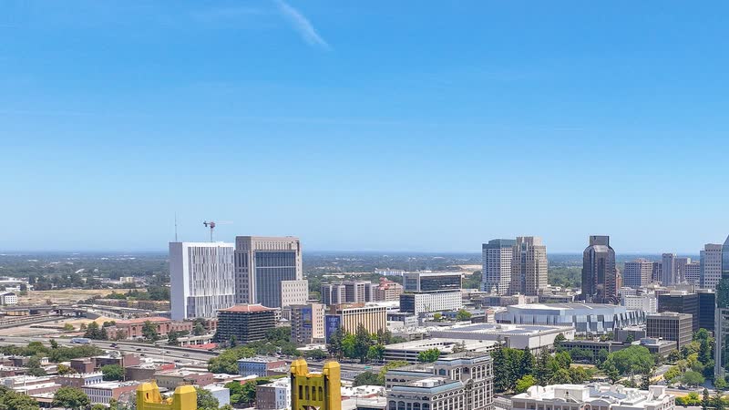
River and levee infrastructure, hot summers, winter fog, controlled airports, and state-campus streets make timing and ground access inseparable.
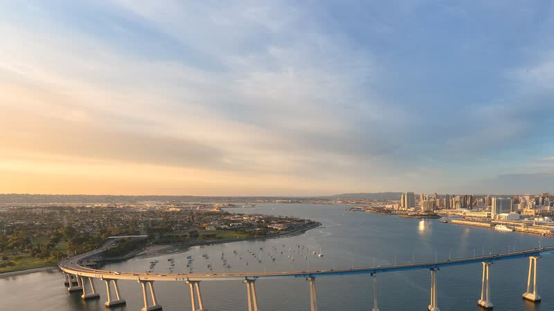
Civil and military airspace overlap a coastal city cut by mesas and canyons, with marine cloud and port activity tightening the usable window.
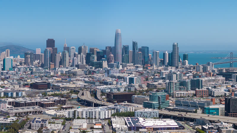
Steep streets, cold bay wind, low cloud, constrained staging, and nearby Class B airports turn a short urban placement into a layered coordination problem.
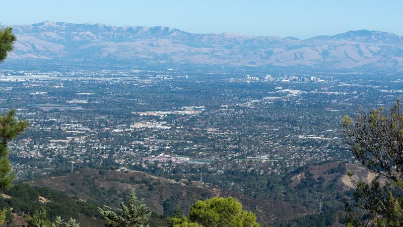
Class C airspace, foothill terrain, large energy users, and crowded streets force the flight plan and ground plan onto the same schedule.

A cargo airport, inland deepwater port, Delta waterways, summer heat, and winter fog put flight planning beside active logistics and public-space controls.
From the technical library