
HVAC & Rooftop Units
A downtown rooftop unit starts with its set point and the controlled area below. Streetcar wires matter only where the proposed route reaches that corridor.
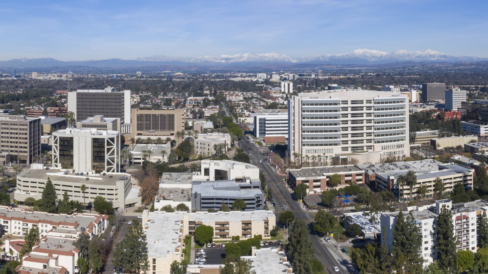
Local lift planning
A downtown roof near the OC Streetcar and an industrial property at West Lake Center Drive pose different ground problems. Both need a route review near SNA.
Photo: iStock.com/MattGush, asset 1295912678. Cropped and resized. License terms.
The FAA description of John Wayne Airport places SNA in Santa Ana and describes Class C airspace partly beneath Los Angeles Class B. That is a useful starting point, not a route or a clearance. A proposed external-load flight needs the current chart, NOTAMs and a route-specific operator review. The Irvine guide addresses another city in the same airport region; its ground conditions cannot stand in for a Santa Ana address.
Downtown has an unusual overhead interface. OCTA's OC Streetcar status describes energized contact wires and street testing, with traffic adjustments that can change. A load route near that alignment would need the actual wire location and the current streetcar operating conditions checked before a crane or helicopter comparison. The streetcar is not described as a helicopter project.
The City's South Coast Technology Center ordinance allows light-industrial uses at West Lake Center Drive and describes a proposed office, manufacturing and warehouse mix. A real equipment move there would begin with its roof or yard, truck access and property boundary. The ordinance is a land-use action, not proof that the proposed facilities were built or that an aerial lift is planned. The site-survey checklist keeps those questions tied to the address.
SNA's FAA flight-deck profile describes layered controlled airspace. Airport proximity does not reserve a staging area or approve an external-load route. The proposed operator must resolve the current airspace and obstacle picture for the actual pickup and set points. The congested-area planning guide covers the separate question of public exposure below a city route.
The OCTA streetcar update says overhead wires are energized and testing may bring temporary lane or intersection closures. A building job near the alignment cannot use an old street map to settle load clearance or ground access. Confirm the current condition with the asset and street authorities; proximity alone does not establish a conflict or a shutdown window.
The National Weather Service Santa Ana wind explanation describes dry offshore winds through Southern California passes, most common September through May. That seasonal pattern is no substitute for a route forecast and lift-day observations. A Santa Ana traffic-signal contract required a traffic-control plan for every construction phase of that City project. Its terms are project-specific, not a blanket street permit for another job.
A downtown rooftop unit starts with its set point and the controlled area below. Streetcar wires matter only where the proposed route reaches that corridor.

At an industrial property, establish structural support, yard control and delivery access before comparing a ground crane with an aerial placement.

A utility-corridor concept needs the exact span and ground access. Airport airspace and streetcar overhead contact are separate reviews.

A rooftop communications component near SNA requires current charts, obstacle review and a defined ground zone. The airport profile grants no staging access.
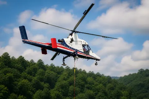
Poor truck access at an individual site may justify an aerial comparison, but Santa Ana is not generally remote. Verify the load, pickup and set points first.
The City's industrial land-use amendment identifies manufacturing and warehouse uses as part of a proposed West Lake Center Drive redevelopment. For an actual rooftop plant or structural component, compare crane reach and yard occupancy with an aerial route using the measured load and set point. The HVAC rooftop-unit guide explains the equipment side of that decision.
The OC Streetcar testing update makes the downtown wire and street interface concrete. It does not show an aircraft operation. For unrelated building or utility work nearby, a method comparison must first account for the powered line, the people below the proposed route and the current street footprint. The helicopter-versus-crane article sets out the broader comparison.