
HVAC & Rooftop Units
A roof in the mixed-use Irvine Business Complex can make street occupancy a controlling input. Compare the crane setup with an aerial route after the set point and public ground zone are measured.
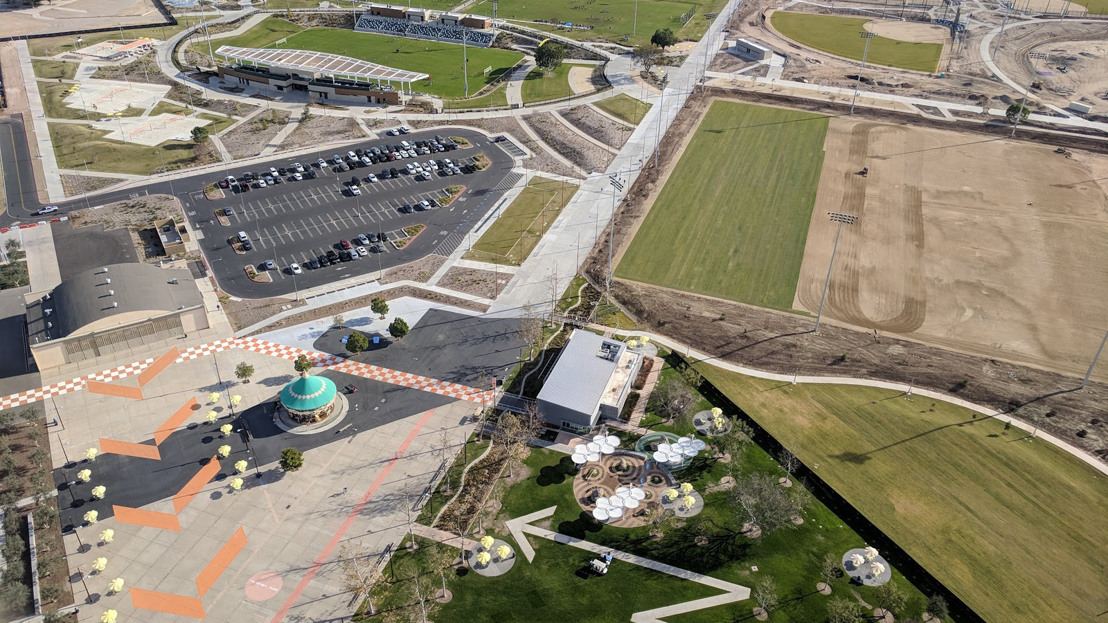
Local lift planning
A roof in the Irvine Business Complex and a workface near Great Park raise different ground questions. Neither can be planned from an airport map alone.
Photo: CanO27sprite / Wikimedia Commons / CC BY-SA 4.0. Cropped and resized. License terms.
John Wayne/Orange County Airport is in Santa Ana, but its surrounding airspace matters to a regional route study. The FAA SNA profile identifies Class C airspace partly beneath Los Angeles Class B. It does not show whether a particular Irvine worksite lies inside that airspace or grant use of the airport. Current charts, NOTAMs and the proposed flight path have to answer those questions.
The City's Marine Way undercrossing project page describes a road extension beside Great Park and a crossing beneath the railway, with a channel interface. It is a useful reminder to identify who controls each road, rail and work area before comparing construction methods. The City does not describe this as a helicopter project.
Ground conditions change across Irvine. The City of Irvine Business Complex overview identifies office, industrial, residential and mixed-use properties in the same district. A proposed roof placement there would need a measured set point, delivery path and exclusion area. The site-survey checklist keeps those observations tied to the actual address. The California location guide provides broader context, not a substitute for those measurements.
The National Weather Service Santa Ana wind guidance describes dry winds moving through Southern California mountain passages, most common from September through May. A calm report at one airport cannot settle wind along an Irvine route or at the set point. Use the current site forecast and observations, then apply the operator's actual limits. The weather-delay guide explains why a forecast change can stop a planned window.
Public ground space is not free staging space. Irvine's right-of-way and encroachment permit page asks applicants for a location exhibit showing street names and the work zone, plus other required documents. If barriers, equipment or a controlled area reach a city street or sidewalk, determine the applicable permit and property permissions before counting that space in the lift plan.
Nearby SNA is not an automatic base for an Irvine lift. The FAA flight-deck page points pilots to current charts, airport diagrams and NOTAMs; its overview cannot replace specific airport acceptance or air traffic coordination. The Long Beach guide covers a different airport and harbor setting, not an SNA clearance or an Irvine route.
A roof in the mixed-use Irvine Business Complex can make street occupancy a controlling input. Compare the crane setup with an aerial route after the set point and public ground zone are measured.

A structural placement near roads or rail must respect the property controller and operating window. The Marine Way project illustrates such interfaces, not an approved aerial lift.

A communications structure needs an exact obstacle and approach survey. Nearby SNA airspace context alone cannot settle the route or make the airport available for staging.

Any proposed line work across developed property must identify each crossing and the people below it. The method comparison follows the surveyed corridor, not a citywide assumption.

Santa Ana wind events can affect access and fire exposure. Recovery planning would also depend on current incident control, airspace restrictions and the condition of the worksite.
The City's Great Park access description connects road, rail and channel work at Marine Way. Any future component placement in that setting would need its own load, accepted access, work window and ground-control plan. The City page does not specify a helicopter lift or establish that one is suitable.
The Irvine Business Complex includes business and residential stakeholders. For a commercial rooftop equipment move there, compare a ground crane's reach and street footprint with the aerial route only after the roof, rigging and public exposure are measured. The HVAC rooftop-unit guide explains the equipment side of that comparison.