
HVAC & Rooftop Units
Rooftop equipment placement can be limited by street occupancy and the space available for a controlled ground zone. Compare the full crane setup with the proposed aerial route, not aircraft travel time alone.
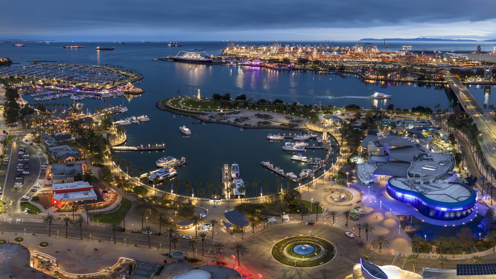
Local lift planning
A lift near Long Beach can cross airport traffic, neighborhood-noise routes or port operations before the load reaches its destination. Ground access deserves the same early review.
Photo: iStock.com/Windzepher. Cropped, resized, and compressed.
The FAA airport diagram for Long Beach (Daugherty Field) shows a towered airport with three runways and marked helipad positions. Those markings help locate the airfield in a route study; they do not reserve a pad or establish an external-load operating base. Any proposed staging and flight path require current airport, airspace and operator review.
The Port of Long Beach and the neighborhoods around the airport pose different ground questions. A 2025 state environmental filing for the Pier B rail project describes track and signal relocation, sewer work and utility protection across a project area that includes Long Beach and Los Angeles. A short aerial placement near that network still depends on the exact load route, terminal or rail coordination and an exclusion area on the ground.
The adjacent Los Angeles guide covers the larger basin. Long Beach needs its own site review because the airport, harbor and city right-of-way are distinct authorities. The site-survey checklist helps turn that distinction into measured obstacles, delivery-point access and public-exposure questions.
Low clouds and fog can come with the marine layer near the coast. The NWS Los Angeles Basin weather memorandum describes how ocean distance and a changing marine layer alter conditions. Check the site forecast and observed ceiling and visibility for the intended window; a clear inland report is not a substitute for conditions along the harbor route. The weather-delay guide explains how forecast changes become a lift-day no-go call.
Long Beach Airport publishes helicopter arrival and departure route guidance to reduce neighborhood noise. A routing concept should account for those routes alongside current charts and ATC instructions. The published videos are not a project-specific authorization.
City street use is a separate constraint from the flight. Long Beach Public Works issues permits for temporary or long-term right-of-way occupancy and provides traffic-control and staging-plan examples. If equipment, barriers or a ground exclusion zone reaches a city street or sidewalk, confirm the applicable permit path before treating that space as available.
Rooftop equipment placement can be limited by street occupancy and the space available for a controlled ground zone. Compare the full crane setup with the proposed aerial route, not aircraft travel time alone.

Harbor, rail and industrial structures put active operations close to a placement. Confirm who controls each work area and which movements must pause while a suspended load crosses it.

Utility corridors intersect streets, rail property and port facilities. Access permissions and the current airspace picture matter before choosing an aerial construction method.

Communications sites near LGB need an obstacle survey and route review. The airport noise guidance and tower instructions are planning inputs, not substitute approvals.
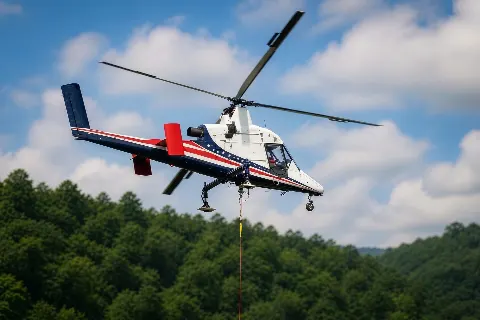
A harbor workface may be difficult to reach from a public road even when it sits inside the city. First establish load delivery and ground-control access; an aerial freight comparison follows from those facts.
The Pier B supplemental environmental filing lists transit-shed changes, a 36-inch sewer extension and rail-signal work. It illustrates why a harbor lift cannot be planned as an isolated pick: rail movements, utility protection and the path used to deliver the load need separate owners and schedules. The filing does not say a helicopter is part of that project.
Commercial roof work away from the harbor has a different bottleneck. The city right-of-way permit guidance matters if a crane, support vehicle or public-protection area occupies the street. Compare that ground footprint with a helicopter concept only after the roof load, set point and route below the aircraft are understood.