
Transmission Line Stringing
Valley utility corridors can cross agricultural ground, energy sites, and developed streets. Heat, wind, land access, and public boundaries control the workable method.
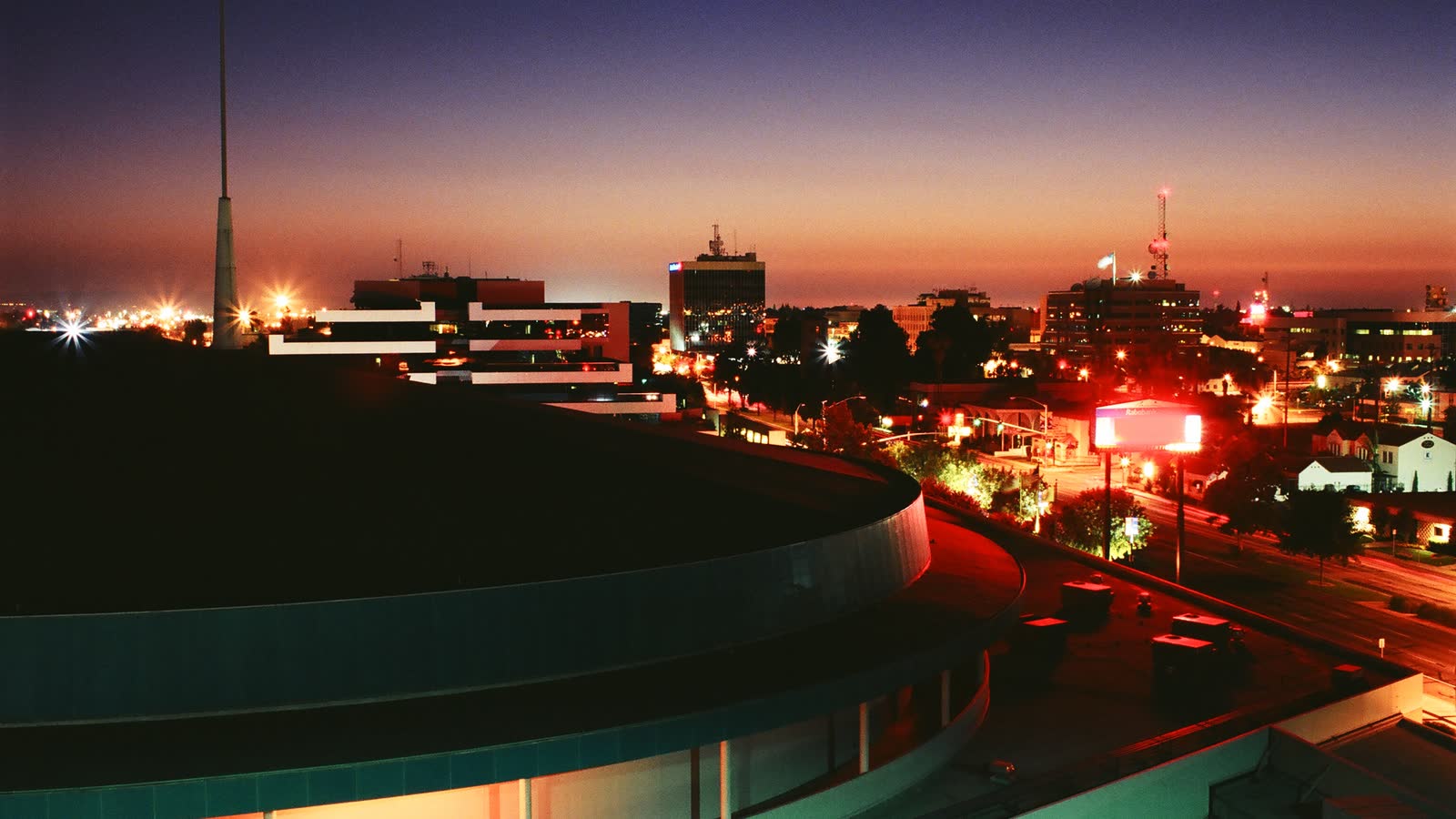
Local lift planning
Southern San Joaquin Valley heat, winter fog, controlled airport hours, and freight-heavy corridors make the usable lift window a joint aviation and ground-access problem.
Meadows Field is three miles northwest of Bakersfield. The current FAA airport entry lists a 10,849-by-150-foot primary runway, a 7,700-by-100-foot secondary runway, Jet A, and Class D airspace during tower hours. The secondary runway closes when the tower closes. Airport permission, aircraft acceptance, parking, fuel quantity, and current NOTAMs still require confirmation.
Kern County’s 2026-2030 Strategic Plan identifies energy and agriculture as established industries, with advanced manufacturing and aerospace among its growth sectors. That mix makes verified load data useful early for processing equipment, utility components, rooftop systems, or short structural placements. It does not make an aerial method automatic. The helicopter-versus-crane guide provides the physical comparison.
Bakersfield says interregional travel and freight movement have stressed older transportation infrastructure. Its Public Works project program includes freeway, corridor, and capital projects. Delivery routes, crane occupation, road work, and public separation need to be reconciled with the flight concept before the schedule is fixed.
Triple-digit temperatures are common on the hottest summer days. The NWS Bakersfield climate report also describes low late-afternoon humidity and strengthening northwest valley wind in the evening. Aircraft matching needs forecast temperature, actual load, fuel, rigging weight, and the expected wind window. The density-altitude guide explains that relationship.
Bakersfield’s typical fog season runs from late November through mid-February. Tule fog can reduce visibility below one-quarter mile, while blowing dust becomes a concern during windy periods after dry cool seasons, according to the NWS climate report. Ceiling, visibility, wind, and surface access need separate weather gates.
The City publishes separate street and encroachment permit applications through its licenses and permits directory. Any public-right-of-way use should be assigned to the correct municipal process before the lift date. Those approvals govern the ground site, not FAA authority or Part 133 planning. The jurisdiction guide explains the split.
Valley utility corridors can cross agricultural ground, energy sites, and developed streets. Heat, wind, land access, and public boundaries control the workable method.
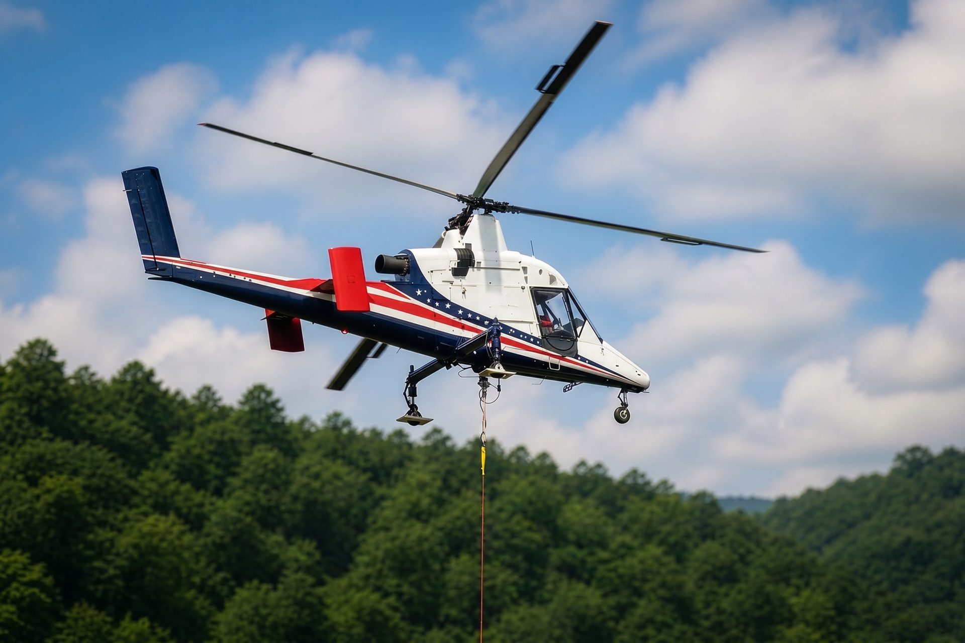
Dispersed energy, water, or agricultural sites may trade road improvement for aerial access. Fuel, staging surfaces, verified loads, and wind still decide feasibility.

Industrial and commercial roofs can make crane reach or street occupation the central comparison. Summer temperature reduces the margin available for a given load.

Infrastructure and industrial placements may cross active roads or facilities where the exclusion area matters as much as member weight.

Heat, wind, fog, or damaged access can complicate recovery work. Incident coordination and verified loads remain required.
Kern County’s plan specifically supports oil and gas, alternative energy, agriculture, water banking, surface storage, reuse, and stormwater capture. The county strategy establishes that regional context. Dispersed utility work or constrained equipment replacements still require site-specific weight, access authority, and shutdown limits.
Advanced manufacturing, aerospace, freight corridors, and municipal capital work can create rooftop or structural placements where street occupation is the controlling comparison. Use the site survey checklist to record load path, obstacles, public boundaries, access, and an alternate.