
HVAC & Rooftop Units
Cold-storage, food-handling, warehouse, and commercial roofs can make shutdown duration or crane reach the central comparison. Marine cloud can narrow the placement window.
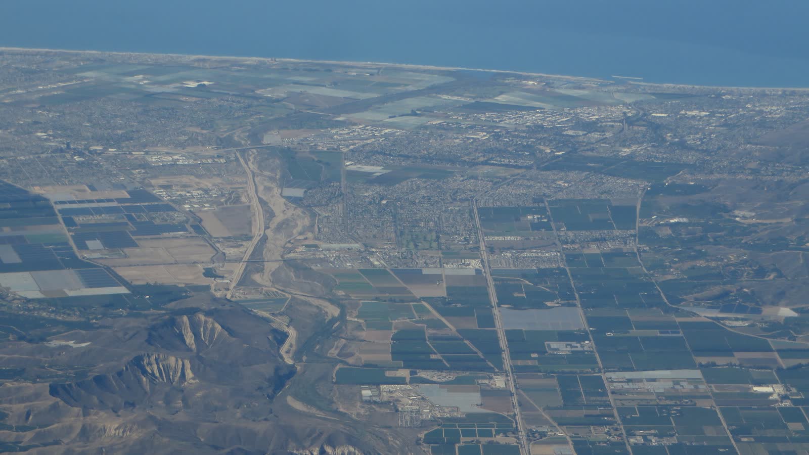
Local lift planning
Coastal fog, a noise-sensitive airport, working port terminals, and cold-chain facilities put visibility and ground control on equal footing.
Photo: Ken Lund, CC BY-SA 2.0, via Wikimedia Commons. Cropped, resized, and compressed under CC BY-SA 2.0.
Oxnard Airport is one mile west of the city reference point. The current FAA airport entry lists a 5,953-by-100-foot runway, a field elevation of 45 feet, and Class D airspace during published tower hours. The field can be evaluated for staging, but permission, aircraft acceptance, parking, fuel, current NOTAMs, and weight-related charges still need confirmation.
The Port of Hueneme describes itself as the only commercial deep-water port on the U.S. West Coast between Los Angeles and San Francisco. Its automobile and high-heavy cargo page covers roll-on/roll-off traffic, project cargo, six deepwater berths, rail connections, and large vehicle throughput. A nearby lift route still has to protect marine, rail, tenant, truck, and public operations.
Agriculture adds a cold-chain planning profile. The Port’s agriculture cargo page reports on-dock refrigerated transit space plus nearby temperature-controlled capacity. Refrigeration equipment, warehouse roofs, and time-sensitive facility work may warrant an aerial comparison when ground access or shutdown duration is the real constraint.
The FAA entry asks aircraft to avoid high power over a residential area and keep the downwind leg north of Wooley Road. It also flags wildlife near the airport and parachute jumping southwest of the field. Those airport remarks do not replace an off-airport site survey, but they show why noise, obstacles, nearby activity, and the accepted route need specific review.
Coastal visibility can determine whether a morning window exists. The NWS Los Angeles/Oxnard hazard reference sets Dense Fog Advisory criteria at visibility of one-quarter mile or less for at least three hours. That is an advisory threshold, not a forecast. Current ceiling, visibility, wind, fire, and coastal products govern the day.
Oxnard Traffic Engineering reviews oversized loads on city streets. Its traffic engineering page also says a Traffic Control Plan is the first step toward an Encroachment Permit for public right-of-way work. These approvals govern the ground site, not FAA authority. The jurisdiction guide keeps the tracks separate.
Cold-storage, food-handling, warehouse, and commercial roofs can make shutdown duration or crane reach the central comparison. Marine cloud can narrow the placement window.

Port and industrial structures can require short placements across active yards where tenant operations and ground exclusion control the method.
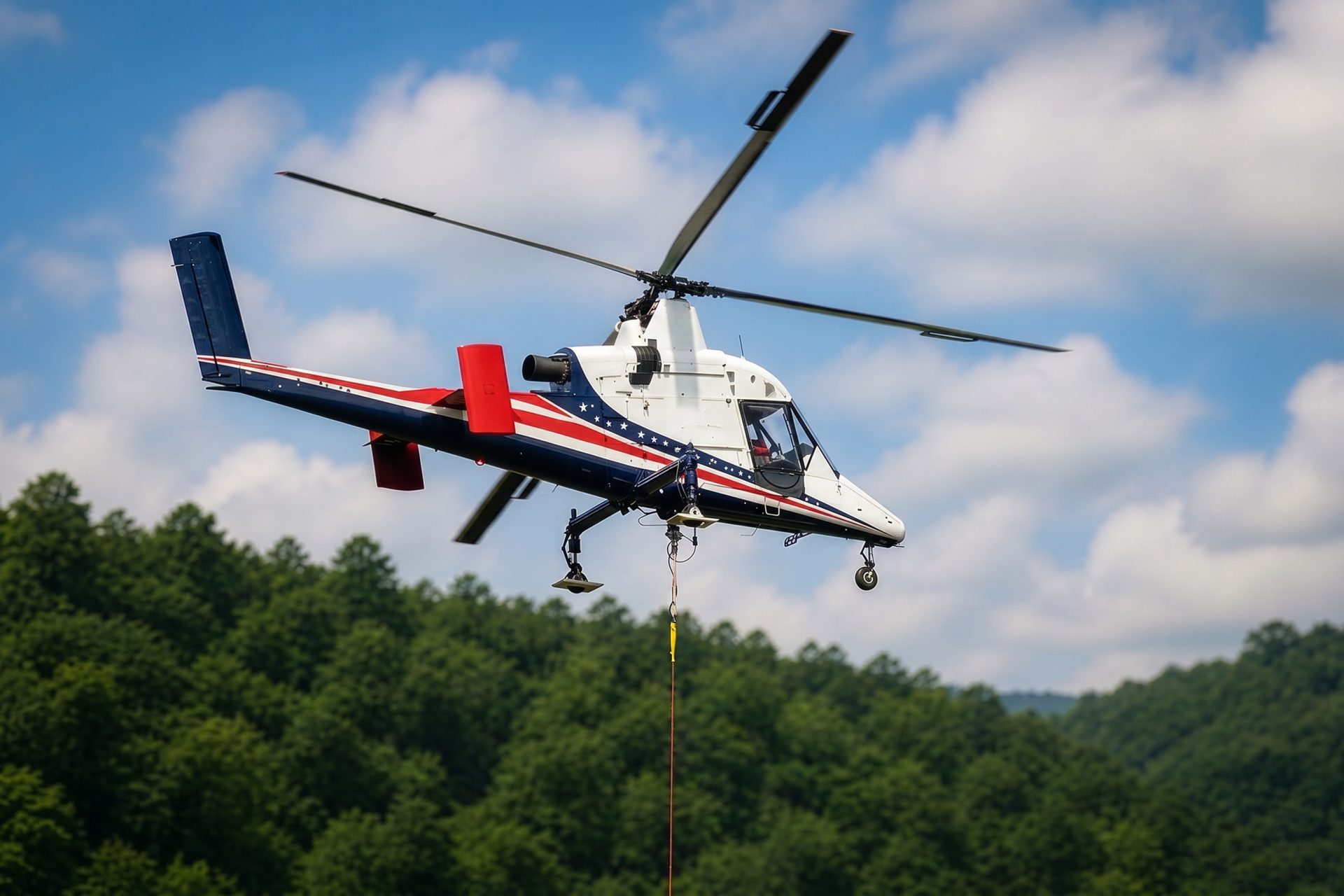
Agricultural and coastal infrastructure outside the dense core can trade road occupation for aerial access. Soft ground, wind, fuel, and accepted staging remain decisive.

Coastal storm, wildfire, earthquake, or infrastructure failure can interrupt normal access. Recovery work still requires verified loads and incident coordination.

Communications and utility sites near the coastal plain face marine visibility, airport traffic, developed neighborhoods, and limited staging surfaces.
Automobiles, roll-on/roll-off machinery, high-heavy units, and project cargo move through the Port of Hueneme. The official cargo profile makes the operating context clear: port yards are active logistics systems, not open staging areas. Property authority, cargo flow, rail movement, and ground exclusion require direct coordination.
Produce moves through refrigerated transit space and nearby cold-storage facilities. The Port’s agriculture profile supports that infrastructure context. Rooftop refrigeration, utility components, or short structural placements still need verified loads and a direct crane comparison.