
HVAC & Rooftop Units
Dense roofs and steep streets can make crane setup and pedestrian protection the central comparison. Fog, bay wind, and Class B airspace narrow the usable window.
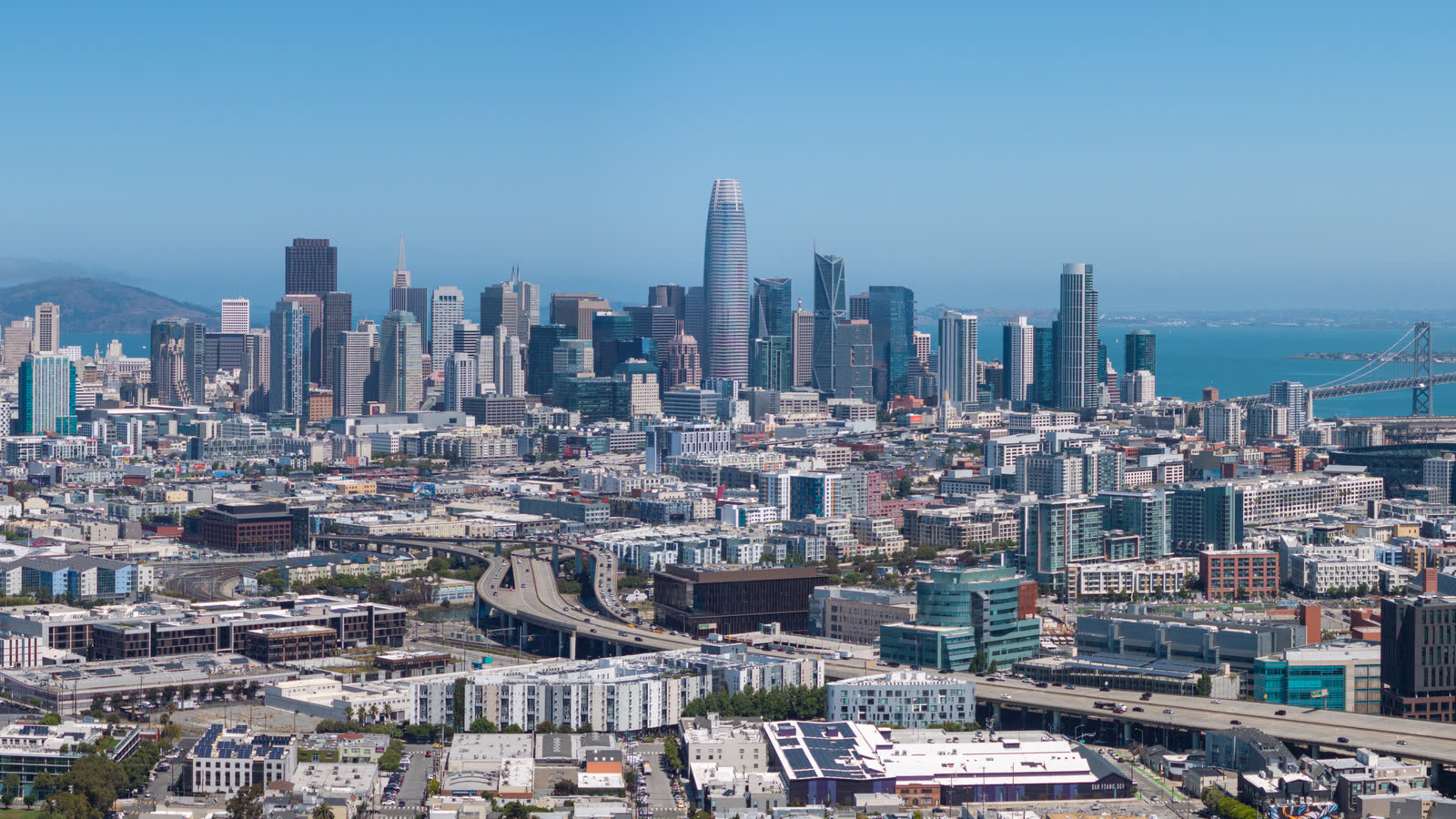
Local lift planning
Steep streets, cold bay wind, low cloud, constrained staging, and nearby Class B airports turn a short urban placement into a layered coordination problem.
Photo: Spicypepper999, CC0 1.0, via Wikimedia Commons. Resized and compressed.
San Francisco International sits about eight miles southeast of the city. The current FAA Southwest Chart Supplement lists Class B airspace, four runways, continuous attendance, simultaneous runway operations, and noise-abatement procedures. A city lift concept therefore needs current charts, NOTAMs, route analysis, and early air traffic coordination before the ground schedule hardens.
The terrain changes quickly across the peninsula. The NWS climate narrative describes steep ground, elevations above 900 feet, channeled winds, and pronounced neighborhood microclimates. A route that looks clear on the bay side may meet a different ceiling, visibility, or wind picture near the western hills.
Street occupation is a separate planning track. San Francisco Public Works says temporary occupancy permits commonly cover cranes, lift equipment, and street closures, with site-plan, pedestrian-clear-path, traffic, and tow-away requirements depending on the setup. The jurisdiction guide explains why that municipal approval does not replace FAA authority or Part 133 planning.
One day can produce two different operating problems. The NWS San Francisco climate report describes persistent summer stratus and fog followed by stronger afternoon and evening sea breezes. Westerly flow channeled through the Golden Gate commonly reaches 20 to 30 mph in the published climatology. Morning visibility and afternoon wind both need explicit limits.
The same climate narrative says more than 80 percent of seasonal rain falls from November through March. Rain, waterfront exposure, and steep streets can change staging-surface and pedestrian-control assumptions after the cloud deck lifts. The site survey checklist should capture grade, drainage, public boundaries, access, and an alternate rather than treating pavement as a complete site assessment.
Central Waterfront work can combine Port property, historic structures, maritime activity, public access, and mixed industrial or residential edges. The Piers 80-96 strategy and Central Waterfront Area Plan also place shoreline resilience in the development picture. Confirm the property authority and usable ground before selecting a flight path or staging area.
Dense roofs and steep streets can make crane setup and pedestrian protection the central comparison. Fog, bay wind, and Class B airspace narrow the usable window.

Waterfront and urban structures can require short placements across active streets or facilities. Historic fabric and public access add ground-control constraints.

Communications sites on higher western ground can face channeled wind, fog, steep access, and nearby controlled airspace in the same planning window.

Bay-edge and urban utility work can cross streets, transit, industrial parcels, and public space. Property authority and exclusion control determine whether aerial support is practical.

Earthquake, storm, or infrastructure failure can restrict normal access. Recovery lifting still requires verified loads, incident coordination, and a defensible route over people and property.
Mission Bay and the northern Central Waterfront support medical, life-science, research, and manufacturing uses under the Central Waterfront Area Plan. Large building systems and compact additions can create rooftop mechanical or structural placements where street occupation is difficult. Emergency access, public exposure, and controlled airspace still govern the comparison.
Piers 80-96 are being planned as a maritime eco-industrial district that co-locates maritime activity with complementary industries. The wider waterfront retains production, distribution, repair, and historic industrial fabric. Port-facility components, utility work, and steel placement may fit an aerial analysis, but the Port strategy does not turn an active pier into an open staging field.