
HVAC & Rooftop Units
Warehouse and processing roofs can make crane reach, truck circulation, and public separation the central comparison.
Local lift planning
A cargo airport, inland deepwater port, Delta waterways, summer heat, and winter fog put flight planning beside active logistics and public-space controls.
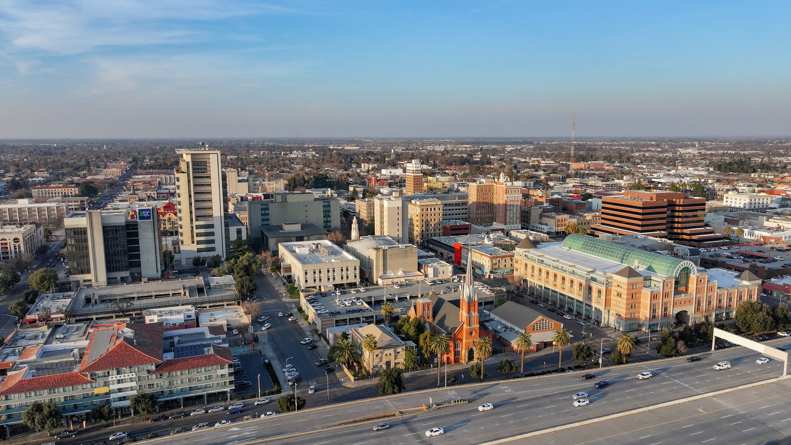
Photo: Quintin Soloviev, CC BY 4.0, via Wikimedia Commons. Cropped, resized, and compressed.
Stockton Metropolitan Airport is three miles southeast of the city. The current FAA airport entry lists Jet A, Class D airspace during tower hours, Class E at other times, and a 70-by-70-foot concrete helipad. It also documents weight-related taxiway restrictions and areas not visible from the tower. The field deserves evaluation, not assumption.
The Port of Stockton is a public inland port on the San Joaquin River Delta. Its official site describes dry and liquid bulk cargo, road and rail access, and more than 400 acres approved for development. A port-area route has to account for cargo movement, tenant boundaries, water, rail, and public authority below the aircraft.
San Joaquin County identifies transportation and logistics as a major growth industry. Its industry profile also covers agriculture, processing, manufacturing, and industrial construction. Those uses can produce large rooftop equipment or plant components, but each job still needs a physical helicopter-versus-crane comparison.
Stockton has warm, dry summers. The NWS climate report describes Delta sea-breeze influence that moderates some summer heat, though temperatures can still exceed 100°F. Performance planning must use the actual forecast rather than the regional average. The density-altitude guide explains the load effect.
Frequent heavy fog is a winter characteristic. The NWS Stockton climate report says stagnant December and January patterns can produce extended fog with only brief clearing. A morning schedule should not assume the fog will burn off by a fixed hour.
Stockton Engineering handles encroachment permits for work that uses public right-of-way or a natural watercourse outside its intended use. The City business resource guide also identifies transportation permits for large vehicles. Municipal access approval remains separate from aviation authority, as outlined in the jurisdiction guide.
Warehouse and processing roofs can make crane reach, truck circulation, and public separation the central comparison.

Port and industrial structures may require placements across active yards, roads, rail, or water boundaries.

Utility corridors cross developed streets, Delta waterways, and agricultural ground. Property authority and exclusion control decide whether aerial support is practical.

Communications and utility sites around the metro must account for Stockton Metropolitan airspace, nearby development, and accepted staging.

Delta waterways and leveed terrain can complicate access after infrastructure failure. Recovery lifting still needs verified loads and incident coordination.
Bulk cargo facilities, warehouses, distribution sites, and manufacturing buildings can create short placements across active operating areas. The Port of Stockton establishes the logistics context. An aerial method only becomes useful after cargo flow and ground exclusion are protected.
San Joaquin County’s agricultural base supports processing and distribution facilities. Its official industry profile also identifies manufacturing and industrial construction. Rooftop mechanical work, utility components, or plant equipment may warrant aerial review where crane access or shutdown time is the real constraint.