
HVAC & Rooftop Units
A resort roof may sit beside heavy pedestrian traffic. Check the set point, rigging path and street-control plan before comparing crane setup with an aerial placement.
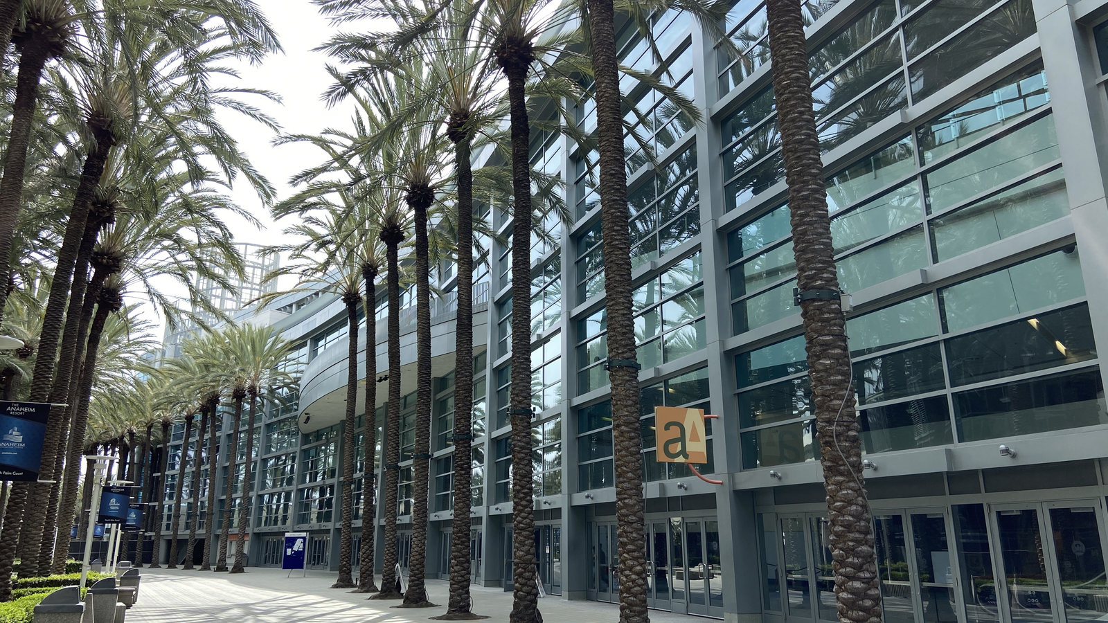
Local lift planning
A resort roof and a business site in Anaheim Canyon can be only a few miles apart yet need different plans for people below the route. Airport traffic and wind require separate checks.
Photo: Troutfarm27, CC BY-SA 4.0, via Wikimedia Commons. Cropped, resized, and compressed under CC BY-SA 4.0. License terms.
The City of Anaheim pedestrian study describes more than 25 million yearly visitors in the resort area, many walking on Harbor Boulevard and Katella Avenue. A proposed rooftop placement near a hotel or convention property would need a measured load route and a way to keep people clear below it. The cited study does not describe a helicopter project. The congested-area planning guide explains why the ground exposure has to be addressed separately from flight feasibility.
Anaheim Canyon poses another kind of worksite. The City's specific-plan overview identifies reuse of existing buildings and infill of underused property as planning aims. For a real equipment placement at one of those sites, compare the roof opening, delivery path and ground-crane footprint with an aerial route. The site-survey checklist keeps those measurements attached to the actual address.
The current FAA Fullerton Municipal Airport diagram identifies an operating tower, runway 06/24 and three marked helipad positions. It is useful context for reviewing airport activity near Anaheim, but the diagram does not grant airport staging space or define an external-load route. A concept still needs current charts, NOTAMs, airport permission where relevant and operator review. The Los Angeles guide gives wider basin context; it cannot settle an Anaheim address.
Santa Ana winds can be sharply localized. The NWS weather guide identifies Santa Ana Canyon as susceptible and warns that these winds can bring turbulence and low-level wind shear. Use a current forecast and observed conditions for the exact route; a seasonal description cannot approve a lift window. See the weather-delay guide for the go/no-go question.
A ground crew cannot treat curb space as available just because the flight is short. Anaheim's Traffic Engineering applications page lists a temporary parking or no-parking variance for construction and points to traffic-control guidance. Confirm the exact site boundary and current requirements before fixing a staging plan; a parking variance is not a flight authorization.
The resort footpaths cited in the City pedestrian study make time and place matter. A route over visitor-facing streets cannot be judged from the city name alone: pedestrian movement, property control and a safe ground exclusion area have to be worked out at the proposed address. The jurisdiction guide separates local ground permission from flight authority.
A resort roof may sit beside heavy pedestrian traffic. Check the set point, rigging path and street-control plan before comparing crane setup with an aerial placement.

An Anaheim Canyon building retrofit starts with the structure and the tenant access below it. No lift method follows from the district name alone.

A utility-corridor concept has to separate airspace review from property and right-of-way permissions. Plan where crews and the load would actually be controlled.

A communications-site placement needs current route and obstacle review. Fullerton's airport diagram is orientation, not permission to use the field or fly a work route.
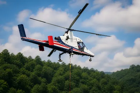
Delivery access can be constrained at an individual site. Only a measured route, verified load and ground zone can show whether aerial freight belongs in the comparison.
The Anaheim Resort pedestrian study identifies hotels and convention facilities in a busy walking district. Large mechanical equipment on such a roof is a planning example, not a documented lift. Compare a ground crane and any aerial concept using the actual load, set point, street footprint and pedestrian diversion. The helicopter-versus-crane article lays out the broader comparison.
The City's Anaheim Canyon plan focuses in part on reuse of existing structures and infill. Work on an existing building can make roof access or tenant boundaries the controlling issue. There is no single Canyon-wide answer; the California location index is a reading path, while the address-level survey decides whether a lift method is plausible.