
HVAC & Rooftop Units
Government, healthcare, and education campuses can make emergency access and street occupation the central comparison for rooftop equipment work.
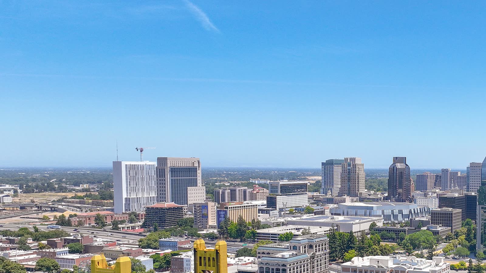
Local lift planning
River and levee infrastructure, hot summers, winter fog, controlled airports, and state-campus streets make timing and ground access inseparable.
Photo: Quintin Soloviev, CC BY 4.0, via Wikimedia Commons. Cropped, resized, and compressed.
Sacramento Executive Airport is three miles south of the city. The current FAA Southwest Chart Supplement lists two paved runways, a dedicated helipad, tower-controlled Class D airspace during published tower hours, Class E at other times, noise-abatement procedures, and birds near the airport. The airspace classification changes with the schedule, so current charts, tower hours, and NOTAMs belong in every central-city plan.
Sacramento sits between the Sacramento and American Rivers. The Sacramento Area Flood Control Agency describes a regional system with about 106 miles of levees and channels supported by Folsom Dam, the Sacramento and Fremont weirs, and the Yolo Bypass. River-adjacent roads, levees, and staging surfaces require confirmation with the controlling property or flood authority.
The City’s key-industry profile identifies government, health care, agriculture, clean technology, education, and real-estate-related activity. That mix produces institutional roofs, water and energy assets, processing facilities, and construction sites. It does not make aerial lifting automatic. It makes load verification and access analysis useful earlier.
Summer performance requires more than a forecast high. The NWS Sacramento climate narrative describes warm, dry summers, heat waves associated with hot north or northeast winds, and the cooling influence of southwest Delta breezes. Aircraft matching must use forecast temperature, actual load, fuel, rigging weight, and the expected wind window. The density-altitude guide explains why nominal payload is not enough.
Dense fog is mainly a midwinter problem and is usually strongest in the morning, according to the NWS climate report. It can persist for several days under stagnant conditions. Winter rain can also raise river and ground-access concerns after visibility improves, so the plan needs separate flight-weather and staging-surface decision points.
Municipal access runs beside the aviation review. Sacramento’s minor-permit page publishes construction and street-use encroachment applications, traffic-control templates, and sidewalk-closure requirements. Those approvals govern streets, sidewalks, alleys, and easements. They do not replace FAA authority or the operator’s external-load planning.
Government, healthcare, and education campuses can make emergency access and street occupation the central comparison for rooftop equipment work.

Urban and rural utility corridors cross rivers, levees, agricultural ground, and developed streets. Flood-control access and summer heat can change the practical method.

Communications and utility structures across the valley may have easy-looking terrain but restricted levee, farm, airport, or urban access at ground level.

Downtown and infrastructure placements can cross active streets, rail, river edges, or institutional campuses where the closure plan matters as much as the member weight.

Flood, wind, wildfire, or earthquake damage can interrupt normal roads. Recovery lifting still requires incident coordination, verified loads, and controlled ground zones.
Government, health care, and higher education support dense campuses and large building systems. The City industry profile also identifies agriculture and clean technology. Rooftop units or short structural placements may warrant an aerial-versus-ground comparison where emergency access, street occupation, or production continuity is the real constraint.
Flood-control assets form a distinct infrastructure category. Work near levees, weirs, channels, and bypasses cannot assume that a maintenance road or levee crown is available for staging. The SAFCA project inventory establishes the scale of the system. The site plan still needs the responsible agency, access limits, allowable ground pressure, public boundaries, and an alternate.