
Transmission Line Stringing
The municipal system includes sub-transmission corridors and substations. Heat, wind, outages, power-line obstacles, and accepted right-of-way access control the method.
Local lift planning
Inland heat, broken foothill terrain, wildfire exposure, and a working municipal airport push aircraft performance and access to the front of the plan.
Riverside Municipal Airport sits four miles southwest of the city reference point. The current FAA Southwest Chart Supplement lists a 5,401-by-100-foot primary runway, Jet A, tower and Southern California Approach service, and a lighted helipad. That makes the field relevant to planning, but it does not establish permission, aircraft acceptance, parking, or adequate fuel for a specific lift.
The local utility system creates a concrete infrastructure profile. Riverside Public Utilities’ 2023 Integrated Resource Plan describes a vertically integrated municipal system connected through seven 69-kV sub-transmission lines, with 14 substations and 98.6 circuit miles of sub-transmission. Tower, line, and substation work in that system still requires site-level load and access verification.
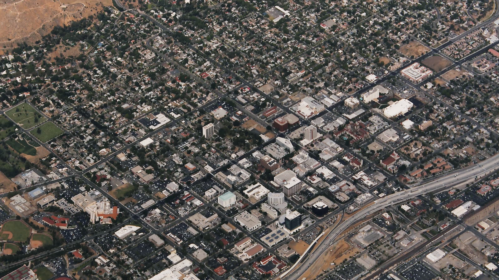
The metro spreads across valley floors, low hills, industrial districts, and steep access at its edges. That makes the site survey checklist more useful than a generic distance measurement. Record grades, obstacles, public boundaries, power lines, thermal sources, staging surfaces, and the intended route before comparing an aircraft with a ground crane.
Riverside Municipal publishes several local hazards. The FAA airport entry flags power lines north of Runway 16, a thermal plume from a power plant north of the threshold, runway weight limits, tower-visibility limits, and noise-management turns. Those remarks are airport-specific, but they show why off-airport sites need their own obstacle and airflow survey.
Inland heat and wind can erase payload margin quickly. The NWS San Diego Weather Guide describes Santa Ana winds as dry offshore flow strongest below passes and canyons, with turbulence and low-level wind shear that affect aircraft. Performance has to use forecast temperature, actual load, rigging weight, fuel state, and the operator’s wind limits. The density-altitude guide explains why brochure payload is not the planning number.
Oversized ground moves require their own route decision. Riverside’s wide-load permit page publishes primary route patterns and requires review for alternates, while freeway segments require separate Caltrans coordination. Confirming the ground route early prevents the load, crane, or support equipment from reaching a permit dead end after the aircraft plan is built.
The municipal system includes sub-transmission corridors and substations. Heat, wind, outages, power-line obstacles, and accepted right-of-way access control the method.

Utility and communications structures can sit near low hills, developed neighborhoods, or airport traffic. The route and exclusion area must be site-specific.

Industrial, healthcare, and institutional roofs can create short placements where street occupancy and crane setup deserve a direct comparison with aerial work.
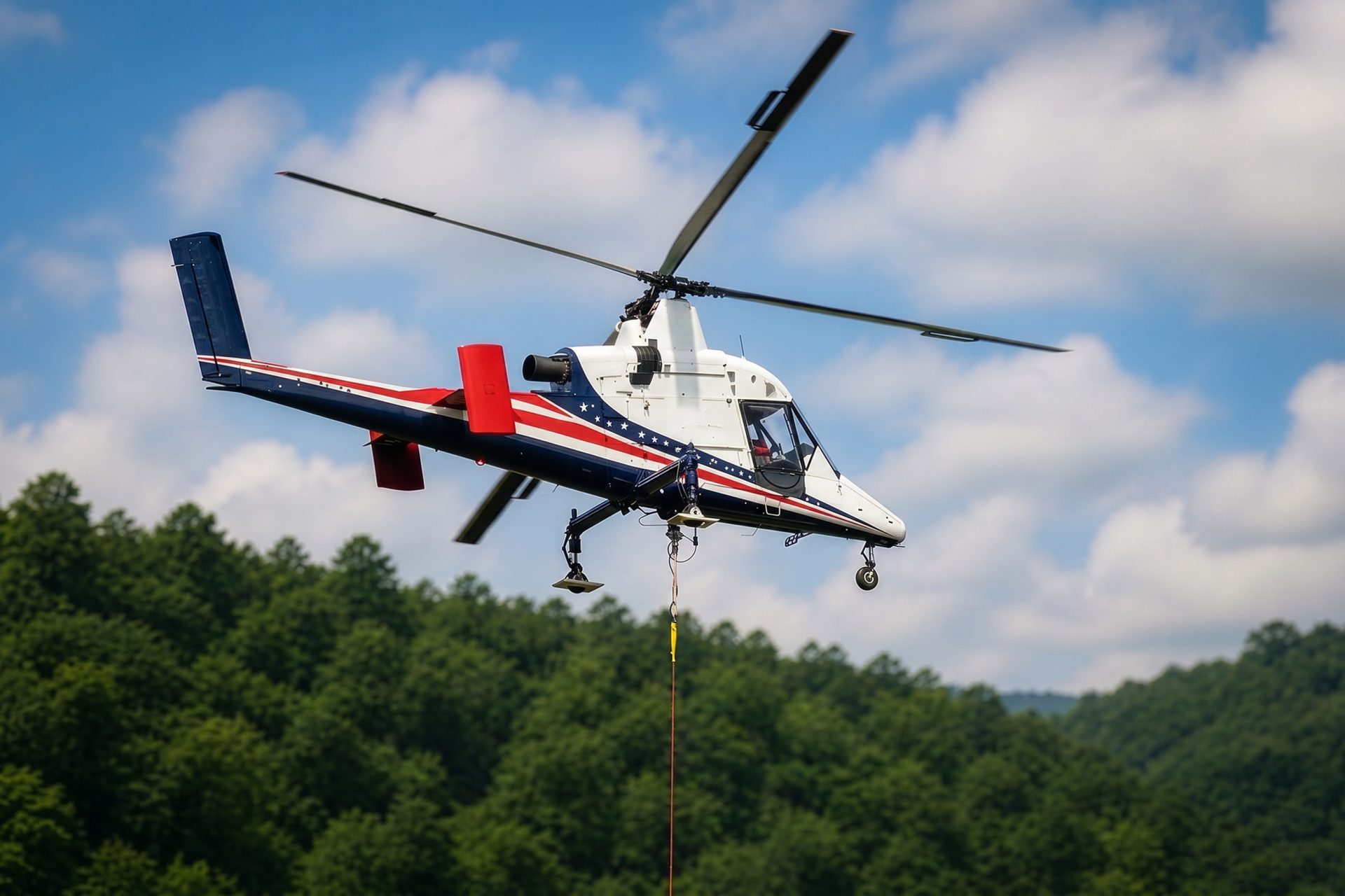
Foothill and canyon-edge sites can turn a short map distance into a road-access problem. Inland heat, Santa Ana wind, fire exposure, and fuel planning remain decisive.

Wind and wildfire can damage utility and communications access. Recovery lifting still requires current airspace coordination, verified loads, and incident-controlled ground zones.
Electrical infrastructure is locally specific rather than hypothetical. The RPU system plan documents sub-transmission lines and substations across the municipal service territory. An aerial method may reduce temporary-road work at a selected site, but line clearances, outages, load control, and accepted staging remain governing constraints.
Riverside’s official top-employer table identifies March Air Reserve Base and aircraft-component manufacturing among major employers. Aerospace, defense, and industrial facilities can present rooftop, equipment, utility, and structural placements where security boundaries and ongoing operations matter as much as crane reach.