
HVAC & Rooftop Units
Research and advanced-industry roofs require verified load data, set points, an exclusion area, and a weather window that accounts for foothill wind.
Local lift planning
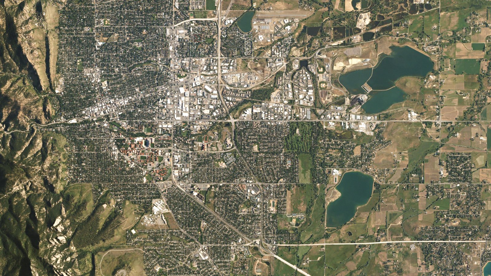
Foothill wind, daily glider activity, a 5,288-foot airport, and creek corridors leave little room for generic planning assumptions.
The Census Bureau’s Vintage 2025 metropolitan estimates place the Boulder metro at 328,560 residents. Boulder sits at the base of the Rocky Mountain foothills among Boulder Creek, 14 tributaries, and Boulder Slough. Address-level drainage screening belongs in the first site review, especially near a major drainageway.
Boulder Municipal Airport lies three miles northeast of the city at 5,288 feet. Its current FAA entry lists a 4,100-foot paved runway, Jet A, and AWOS. It also identifies daily sunrise-to-sunset glider activity southeast of the airport from 6,300 to 9,000 feet MSL and requires powered aircraft to yield to gliders on final.
Ground access must be planned beside the flight profile. Boulder’s right-of-way permit guidance requires licensing, construction permits, and traffic or pedestrian control plans for applicable work. The congested-area planning guide explains why a short urban flight can still demand extensive control below the route.
Westerly mountain-wave wind is the clearest local weather issue. The FAA warns of severe turbulence on Runway 26 during westerly wind, while the NWS Marshall Fire analysis explains the mountain-wave mechanism and documents 70 to 100 mph foothill gusts in one extreme 2021 event.
Daily glider activity, parallel glider operations, trees near Runway 08, waterfowl, and powered-aircraft yielding rules make Boulder Municipal a coordination point rather than simple staging. The current airport entry must be paired with current NOTAMs and direct airport confirmation.
Boulder’s creek network creates address-specific access risk. The City’s Guide to Flooding identifies Boulder Creek, tributaries, the Boulder Slough, floodplains, and conveyance zones. Staging and ground-crane comparisons need the actual drainage map, not a citywide assumption.
Research and advanced-industry roofs require verified load data, set points, an exclusion area, and a weather window that accounts for foothill wind.

A constrained steel placement needs a clear load path and ground-control plan. Public right-of-way use brings permit and traffic-control requirements.

Tower work near the foothills demands conservative wind limits because westerly flow can produce severe turbulence and mountain-wave gusts.

Line work near creeks and drainageways needs address-level flood and access screening before the aviation plan is fixed.
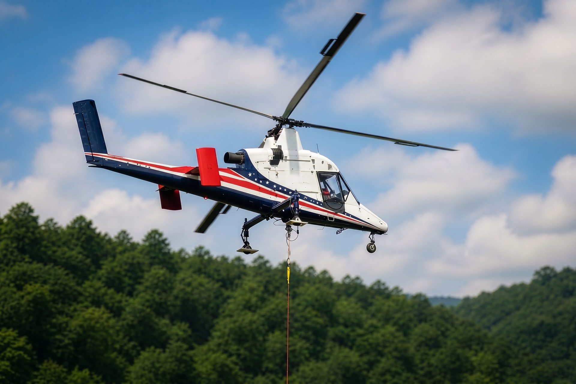
Foothill access problems may favor an aerial comparison, but site elevation, forecast wind, fuel, rigging, and receiving-zone control govern the usable load.
Boulder’s Economic Development Plan identifies CU Boulder, federal laboratories, private research, and advanced industries including aerospace, bioscience, cleantech, photonics, and quantum technology. Rooftop systems and specialized equipment at these sites call for precise load and access records.
The City’s right-of-way permit examples include utility mains, fire hydrants, street cuts, curb work, and paving. Public infrastructure lifting must align the load path and exclusion area with municipal access controls and any separate floodplain, wetland, railroad, or state-highway review.