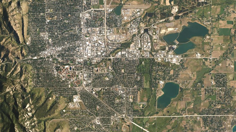
Boulder
Foothill wind, daily glider activity, a 5,288-foot airport, and creek corridors leave little room for generic planning assumptions.
State field guide
Colorado combines high-elevation cities, abrupt Front Range wind, active mountain weather, dense urban corridors, and remote utility access. Aircraft margin and ground control can change sharply between the plains and foothills, so every project needs exact site elevation, current weather, verified load data, and a route-specific airspace review.
Foothill wind, daily glider activity, a 5,288-foot airport, and creek corridors leave little room for generic planning assumptions.
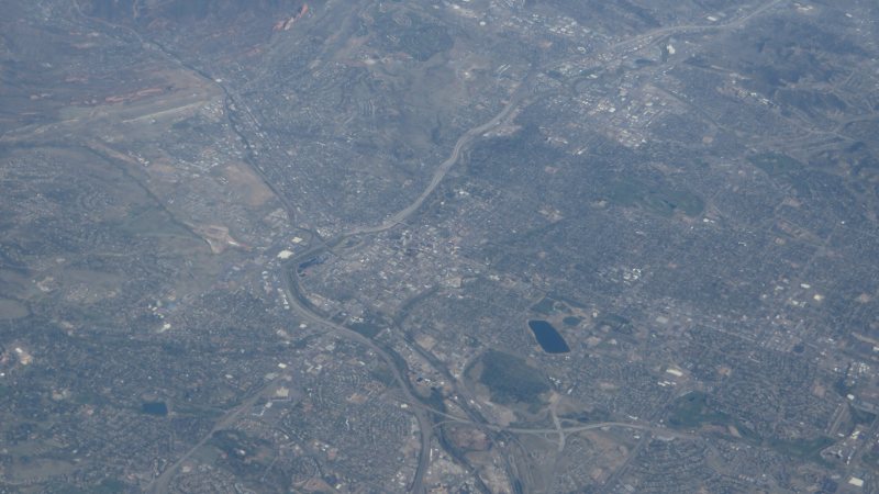
A 6,187-foot airport, military training, foothill weather, and growing utility corridors make performance and coordination first-order constraints.
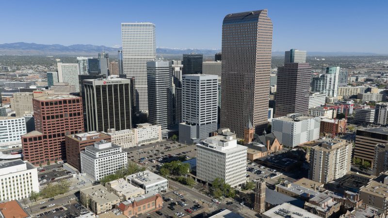
High elevation, Front Range wind, busy controlled airspace, and dense public streets make aircraft margin and ground control equally important.
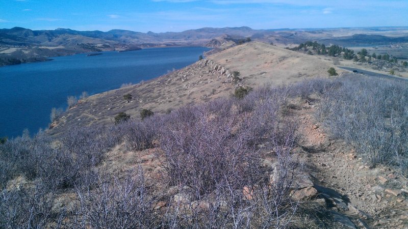
Foothill wind, a 5,020-foot regional airport, and tightly managed public rights-of-way make weather and staging inseparable.
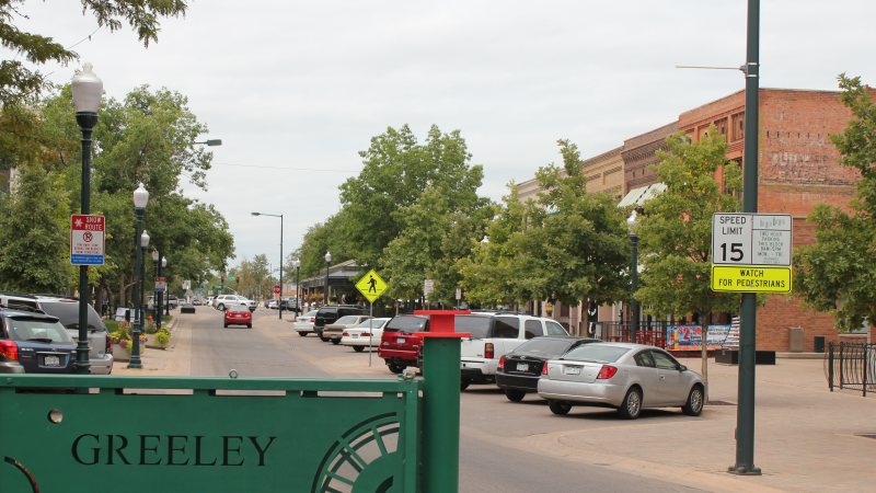
A high-plains airport, severe convective weather, energy infrastructure, and working agricultural sites put obstacle review and ground access first.
From the technical library